|
Paleontology weekend in Death Valley February 2017
Click on any picture to see it full-size.
Disclaimer: Any mistakes in this page are my own fault, and come from me misremembering what people who know what they're talking about said. Also, most of the pictures are mine, but Jim took quite a few nice ones, and Geneil White of the DVNHA was kind enough to share hers with me as well. Jim's have a 'j' in the picture name, and Geneil's a 'g'.
|
|
January 1, 2017. The New Year's Day Videofest was in full swing. Although this is a day of many movies, we still answer the phone and check email between them in case anyone wants to find out when the current movie ends so they can come for the next one. And in my email, I saw a newsletter from the Death Valley Natural History Association (who are they?), and (since Doug was doing something in the kitchen) opened it.
They had scheduled two paleontology hikes in February, including a place I had heard about but never been, since a permit is required to see it. I forwarded the newsletter to a bunch of my peeps, and said, let's do it! Although several people were extremely interested, in the end it was just me and my camping and hiking buddy Jim.
The tours were on Saturday and Sunday, and we got in the one at the beginning of February. We (after much discussion) decided to camp at Texas Spring, near Furnace Creek, and just show up and look for an empty campsite, which the NPS web page said was very likely. We also decided to drive down Thursday and back on Tuesday, so that we would have a full day of fun on each side of the paleontology stuff, and also so that we wouldn't have to get up at dawn the day after driving for nine hours.
So this is how it went.
IMPORTANT:
I am not actually allowed to say exactly where we were on Saturday, or what the thing we went to see that day was called. That was a condition of being allowed to take pictures and put them on the interwebs; Death Valley NP is trying to keep the location of this place under wraps, especially since there was an article in a newspaper about it a couple of months ago. So the place we went Saturday will be referred to in this page as The Place That Must Not Be Named, or TPTMNBN for short, and I'll call the canyon where it's located Canyon X. Just because it's fun.
|
|
| Thursday |
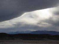
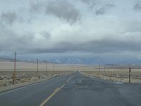
| 2017 was the year that ended a long drought in California, and you know what that means: a WHOLE LOT of rain and snow all over the state. So Jim and I checked the weather reports obsessively. The average temperature for early February in Death Valley is around 70 degrees during the day, and around 45 degrees at night. This is perfectly fine camping weather, especially if it's clear and sunny. So off we went! We drove through rain in the Bay Area, but it mostly cleared to just cloud cover down highway 5, and by the time we got through Bakersfield, the sun was peeping through the clouds.
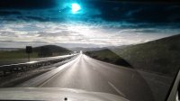
Oh, and here's a super dramatic pic Jim took through the windshield coming out of the 152 just before Los Banos, I love this picture! |
 |
 |
 |
 |
 |
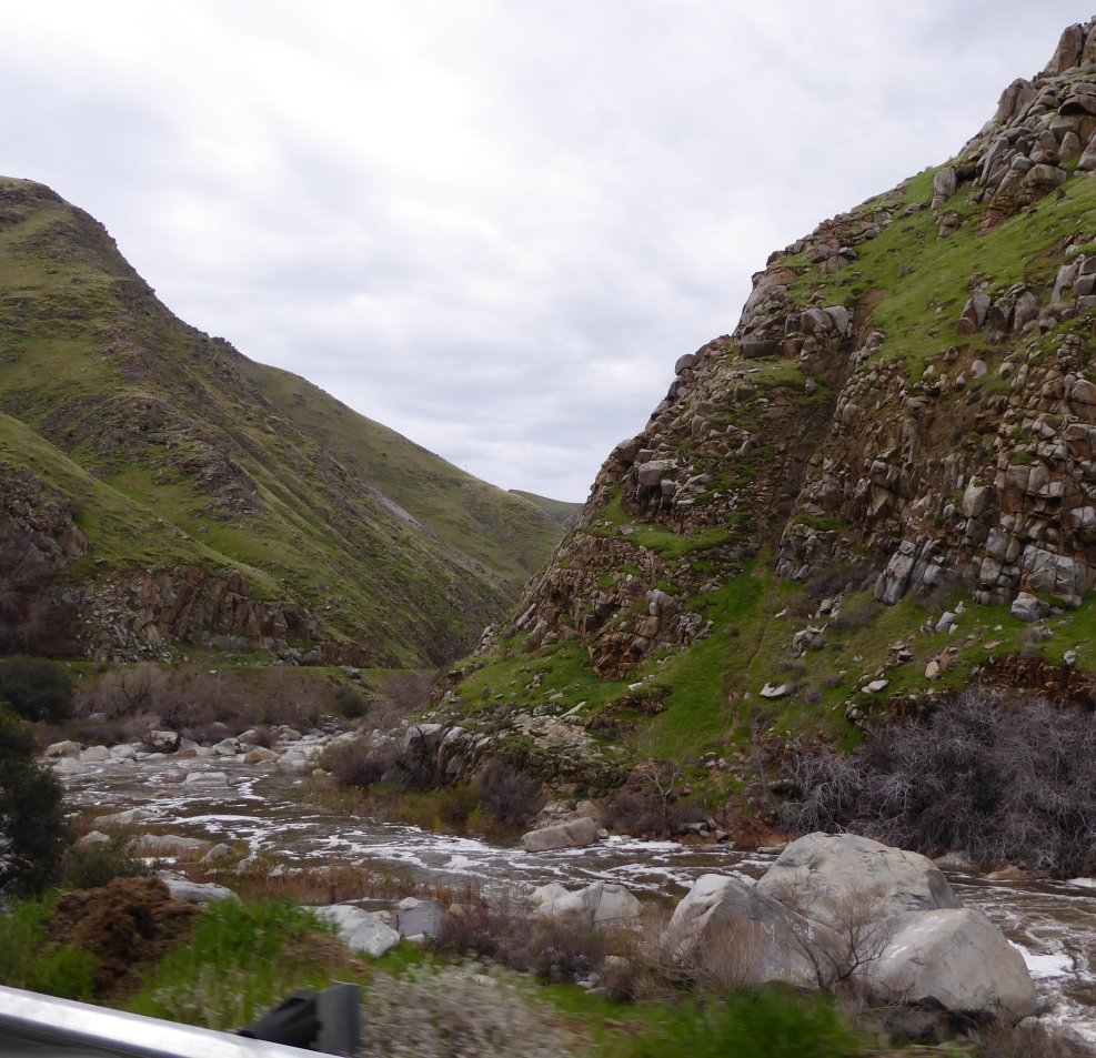
| The Kern River was very high, and Lake Isabella was GORGEOUS. There was snow all through the 178 to Walker Pass; the roads were fine, just a lot of snow on the Sierra foothills. |
 |
 |
 |
 |
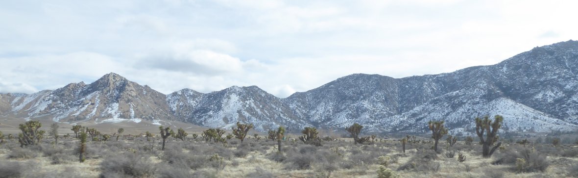
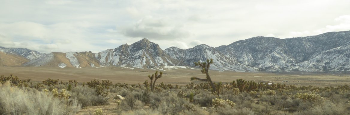
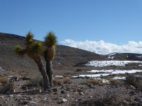
| Joshua trees and snow! I just loved it. |
| The Sierras coming in from Olancha. |
 |
 |
 |
 |
 |
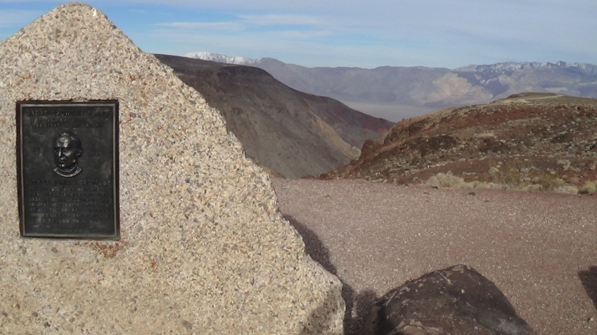
The view from the Father Crowley overlook, and the middle one is me taking a picture of Jim taking the third picture...! |
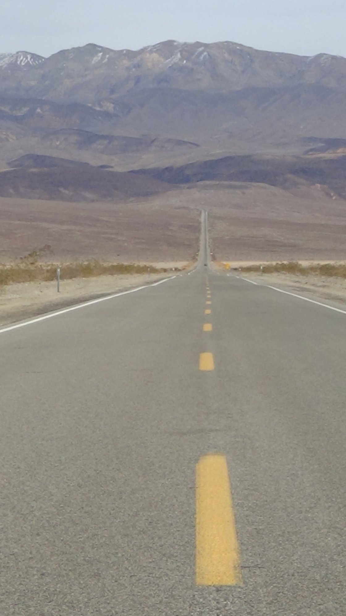
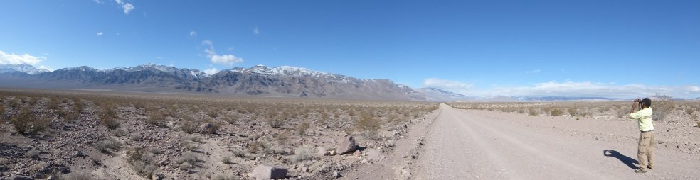
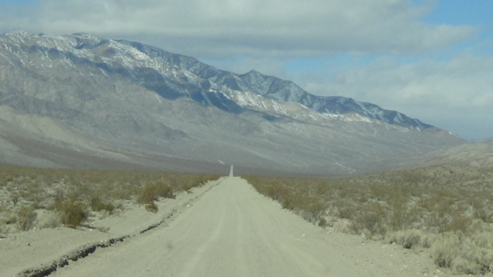
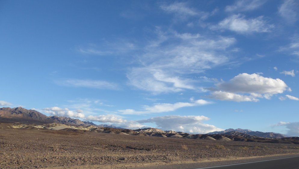
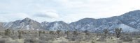
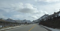
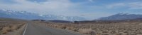
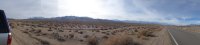
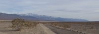
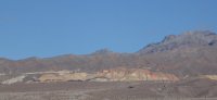
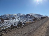
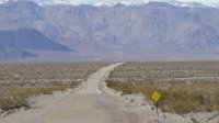
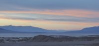
| Various shots of the beautifuls as we entered Death Valley. The long road shot across Panamint Valley is Jim's favorite, and the Panamint mountains were covered with snow. |
 |
 |
 |
 |
 |
 |
 |
 |
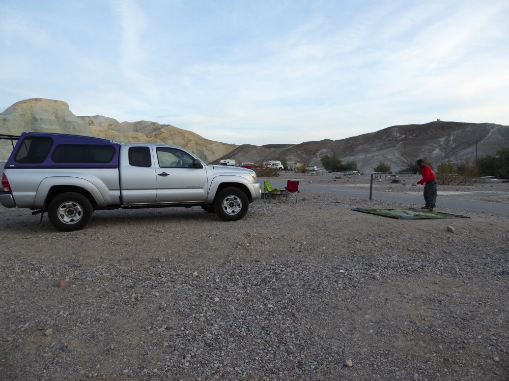
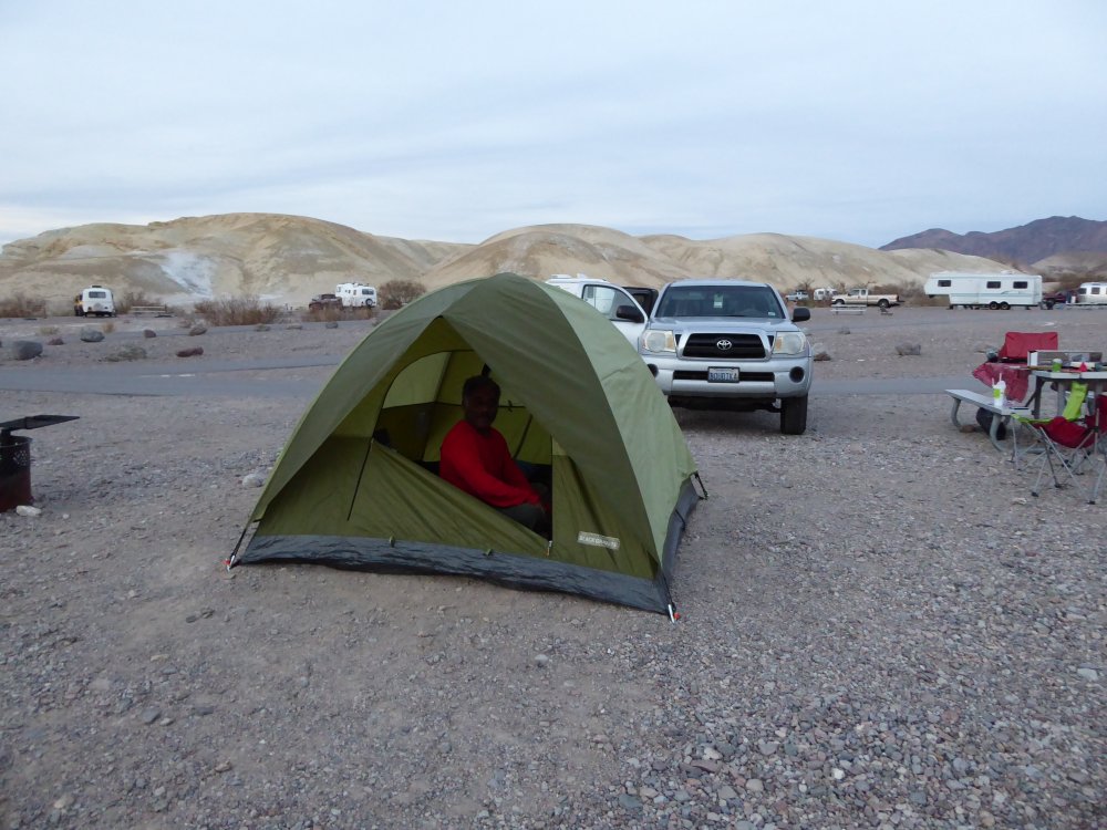
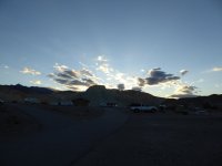
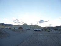
| Texas Spring is a two-level campground, with mostly tent sites on the lower level, and mostly RV sites above. All the tent sites were full, so we went up and took what was open, and it was VERY open, just a square of gravel. Jim tested several before finding one he liked; since I sleep in my truck, I don't care, and leave it up to the tenters to pick. |
 |
 |
 |
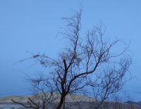 |
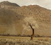
And a picturesque tree in the evening light, and we had dinner in Furnace Creek at the cafe (overpriced, not great. Xanterra.) and went to bed. |
| Friday |
 |
 |
 |
Jim and I have a deal that when we're camping, barring other time constraints, he is allowed to wake me at 7 am. It was still dawn, and waaay too early, but beautiful. The sun was just peeking over the hills to the east of the campground, and the cowbirds were out.
|
 |
 |
 |
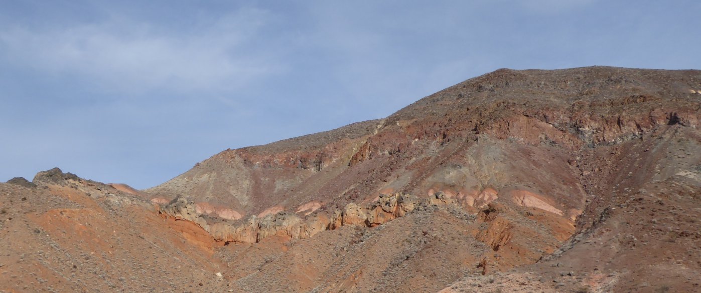
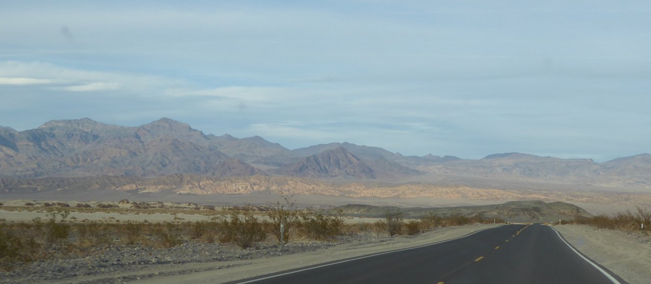
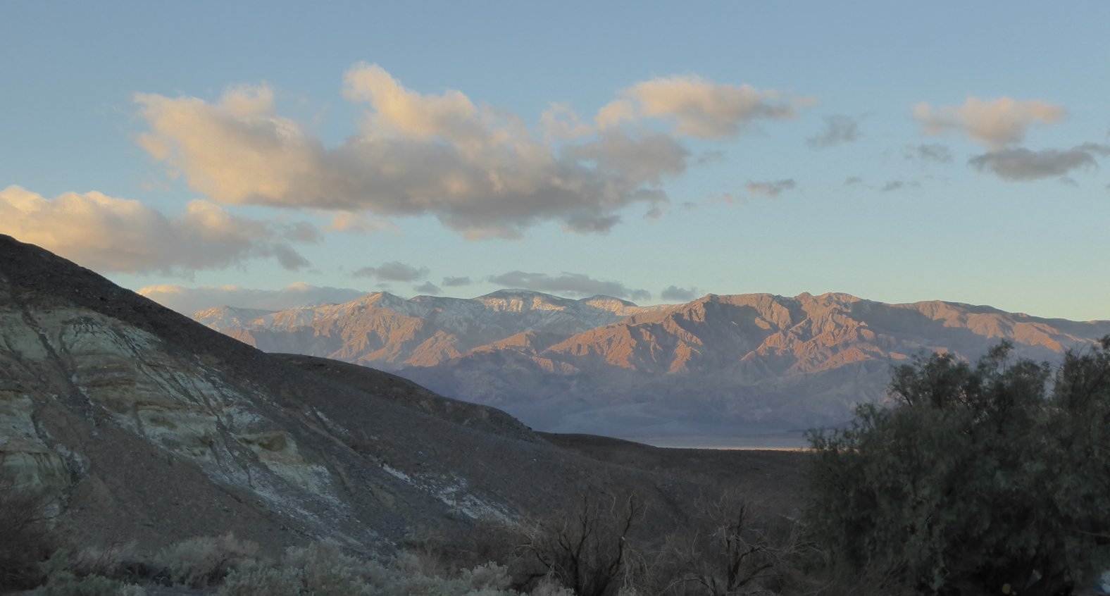
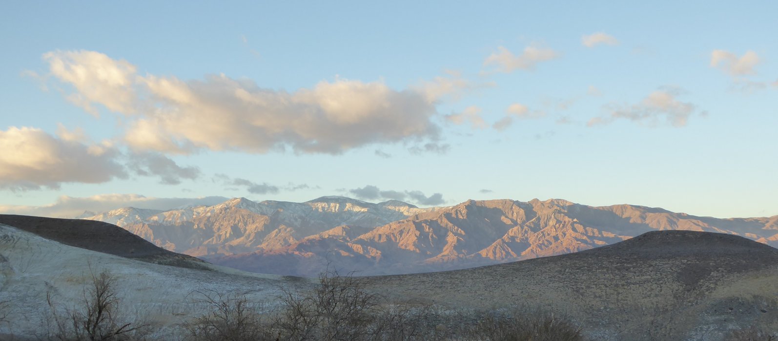
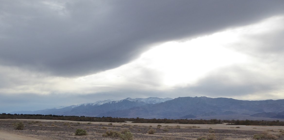
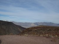
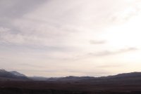
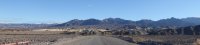
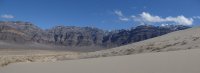
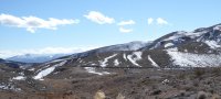
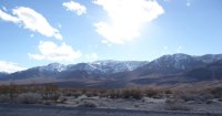
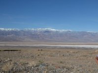
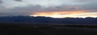
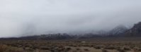
| It was an absolutely gorgeous day; the weather was breezy but warm, around 70 degrees, and the sky and light were amazing. Everywhere you looked the mountains were even more beautiful than usual, and many of them had snow on them. |
 |
 |
 |
 |
 |
 |
 |
 |
 |
In 2015, there was a huge rainstorm that literally hung over Scotty's Castle; the house itself was largely undamaged, but all the outbuildings, parking lots, basements, visitor's center and roads in and out were destroyed, and aren't going to be open to the public again til 2019. This is the closed road; I was thinking about walking up it a bit to see what it looked like in the hills til I saw that they REALLY don't want anyone doing that...so okay. I'll wait.
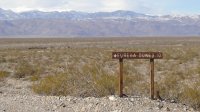
Actually, now that the family trip home base has moved to Beatty, I REALLY want them to open this road, which goes through to the 95 and is a great way to get from Beatty to the northern part of Death Valley...I'm hoping the road will open before the Castle does... But back to our day of fun! Here's our turnoff, from the Ubehebe Crater Road. Jim loves old mining camps, and has never been to Eureka Dunes, so that's where we're going.
|  |
 |
 |
 |
 |
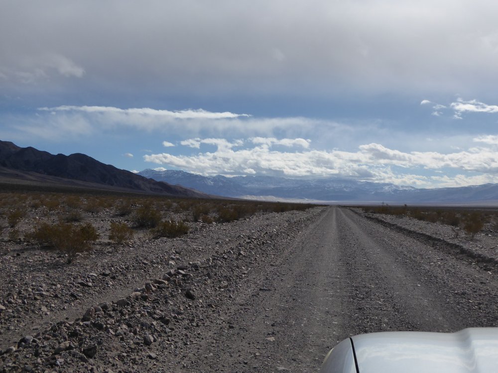
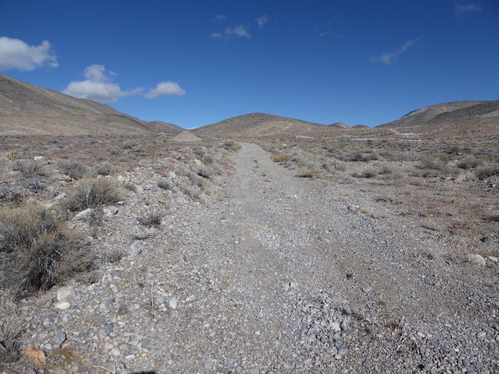
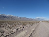
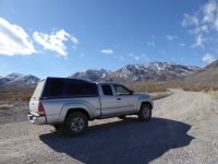
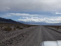
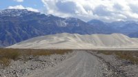
| This is a really nice road- dirt, but well graded. My truck loves it! And driving north to the snowy mountains was amazing. In the third picture you can see Jim taking a picture, and to the right is the picture he took. |
 |
 |
 |
Crankshaft Junction (I know, the sign says Crossing, but all the maps say Junction...) Two of the roads go out into the hinterlands, and the one we want goes west into...the LAST CHANCE MOUNTAINS. |
 |
 |
 |
| So from Crankshaft Junction, we went up into the Last Chance Mountains (Jim and I both love the names here. Last Chance Mountains!) where there was...yes, you guessed it...SNOW.
When we talked to the rangers before coming up here, the consensus had been, there's some snow, nobody has reported problems, and if it's bad you can always turn back. And here we were...and there's SNOW ON THE ROAD.
Luckily, it wasn't much snow on the road, and there were tire tracks through it, so we could see it wasn't too deep...but still...SNOW ON THE ROAD. In DEATH VALLEY. What fun! |
 |
 |
 |
 |
 |
 |
 |
| Looking back down at Crankshaft Junction. |
On the other side of the range, going down the hill to the turnoff for Eureka Dunes. Jim and I each took pictures of this because we were so surprised...there's another car on the road out here! amazing. We saw two cars all day, this one and another around 4 pm. And just before we turned left, we saw this... |
The old mining camp (be patient, we stopped there on the way back) is actually on privately owned land, and there is a road-wide strip for access that is also privately owned, and there is a couple of miles of paved road out there in the middle of nowhere that goes from the mining camp down the hill to where the Eureka Dunes road splits off from the main road (dirt again) that goes to Big Pine. This sign was at that point, and made us laugh. Really? No more pavement? darn... |
 |
 |
 |
 |
| We're on the right road! |
See the rain cloud? It rained on us for about five minutes, solid thick sprinkles. We talked about turning back, but decided to tough it out, and it blew through really fast...and was gorgeous again the rest of the day...<foreshadowing>til we were nearly back to Furnace Creek...</foreshadowing> |
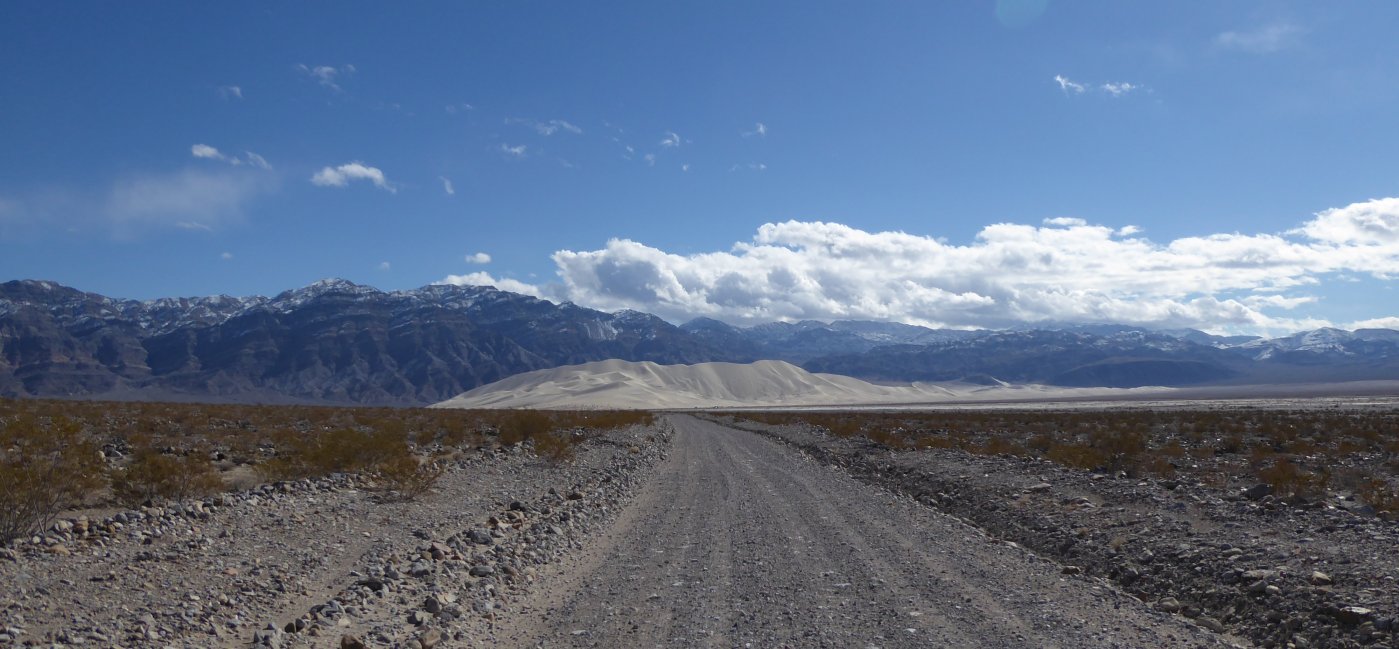
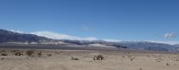
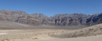
The sky is clearing, and the sand dunes are ahead! |
They are huge...they just keep getting bigger as you get closer... |
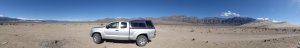
| We parked in the campground (yes, there is a campground there, with firepits, picnic tables and a chemical toilet) and had lunch, and took a bunch of pictures of the area...we were the only people there, the first time I'd been there with nobody else around.
I would actually love to camp here for a night...maybe in the summer. It would be awesome to see the sunrise and sunset, and the stars, that far away from everything... |
 |
 |
 |
 |
 |
 |
 |
 |
 |
 |
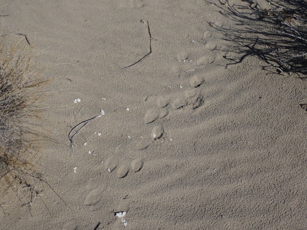
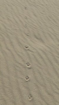
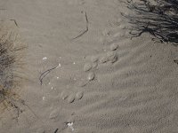
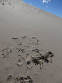
| Bunny and bird prints, and I'm not sure what the ones in a line are...maybe a fox? |
 |
 |
 |
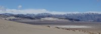 |
| The snow-covered mountains all around us were AMAZING. |
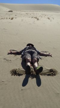
| And I decided to make a sand angel. Worked pretty well, too! |
 |
 |
 |
 |
 |
 |
 |
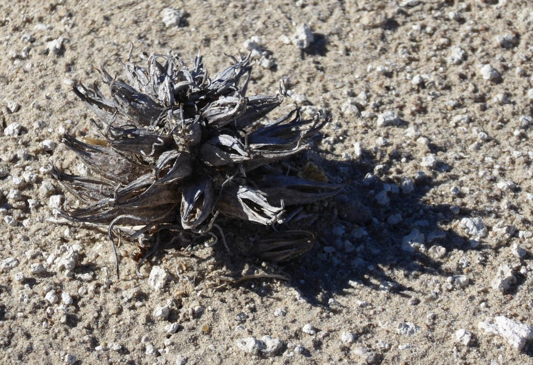
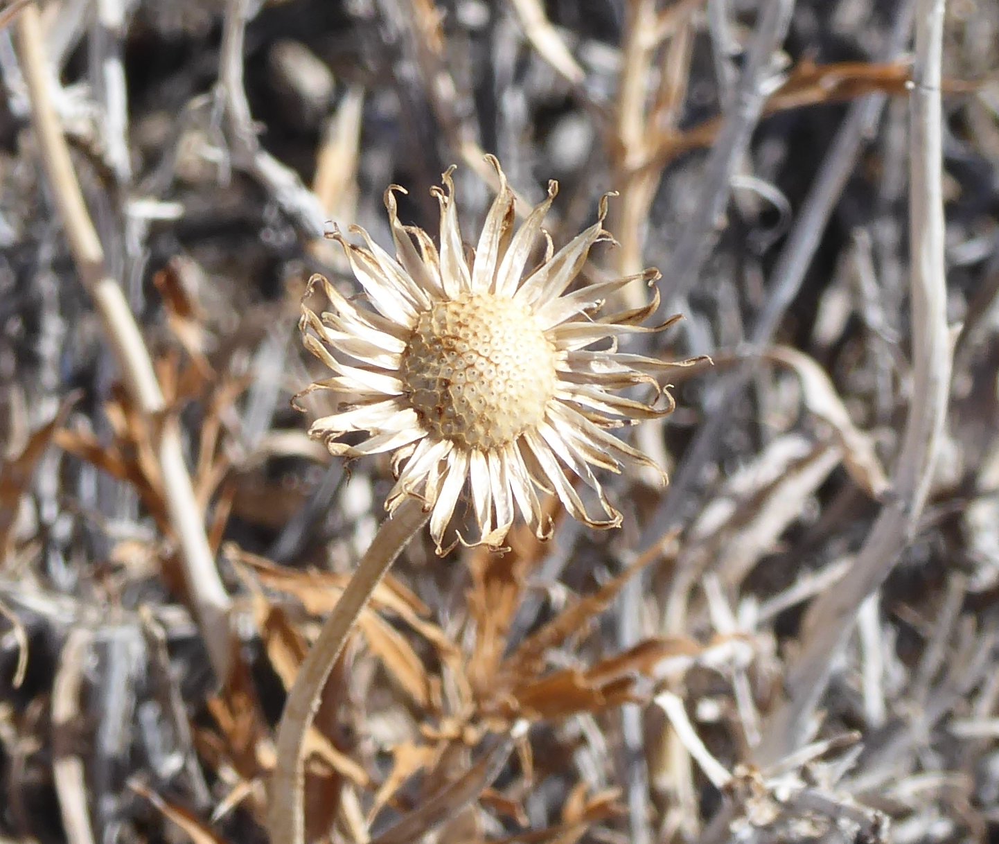
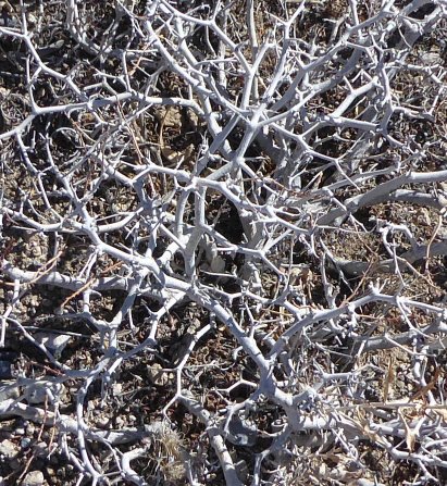
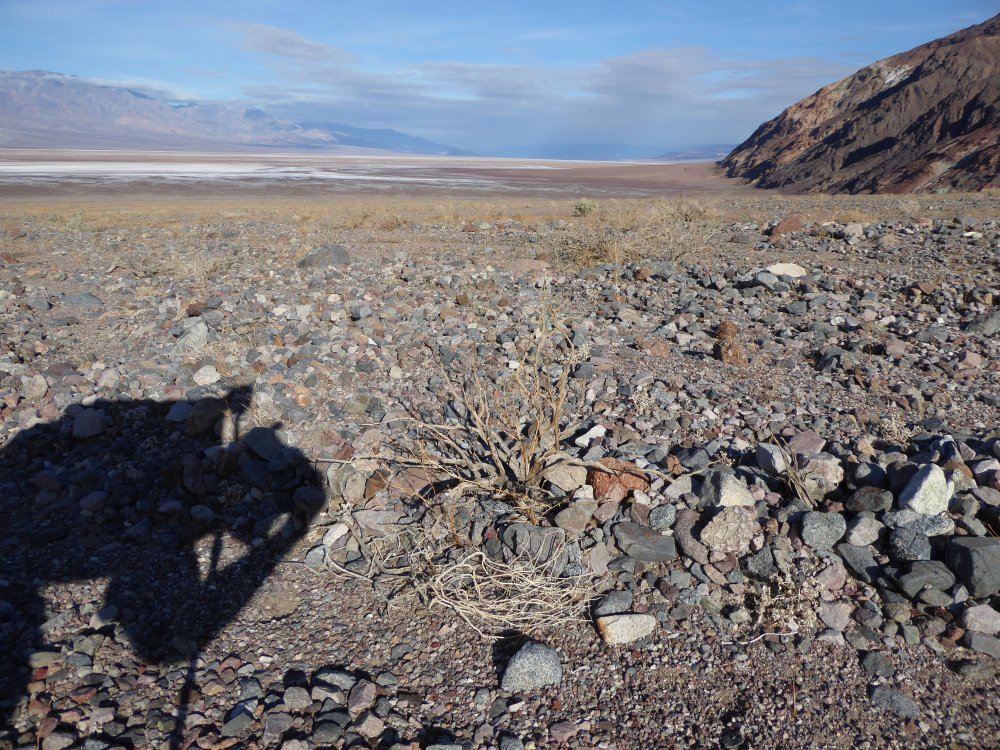
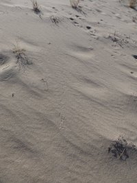
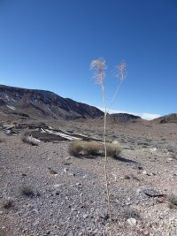
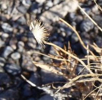
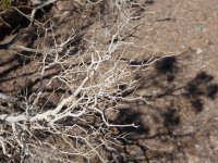
| A beautiful albeit dead (or dormant) plant, more tracks, and one more shot of the striped hills behind the dunes...and it's time to go! |
 |
The road back up into the canyon was beautiful too...
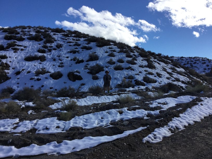
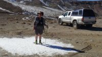
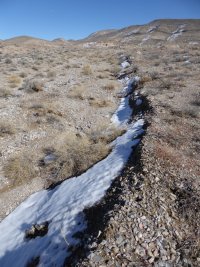
And now it's time to stop in Crater Camp and look around; the last time I had been here we hadn't had much time before it got too late to stay, since we wanted to be on paved roads by dark. This time we were much earlier! And the first thing we saw when we stopped was a big ol' patch of snow...so here I am, standing in the snow in Death Valley.
|
 |
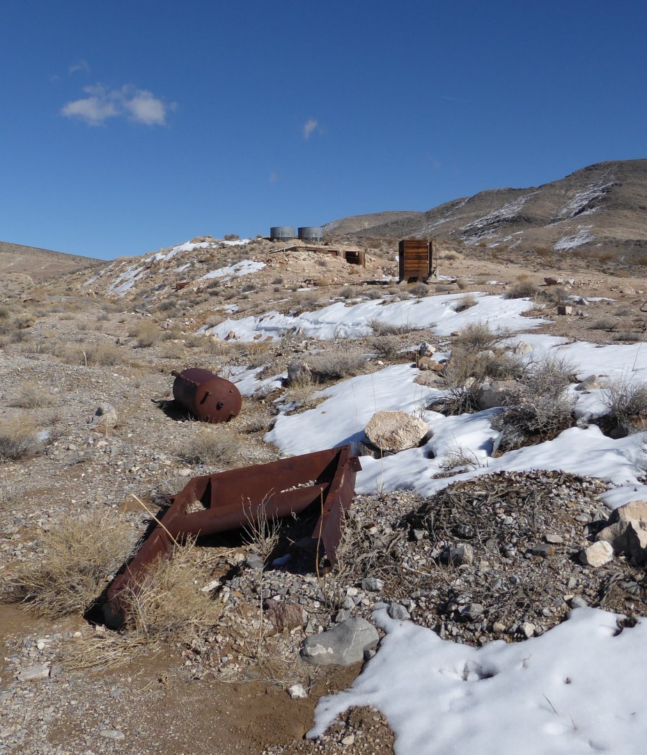
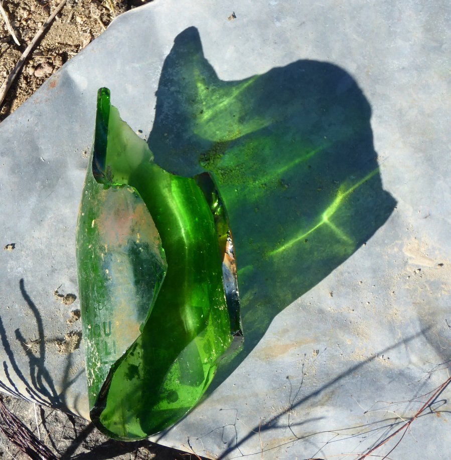
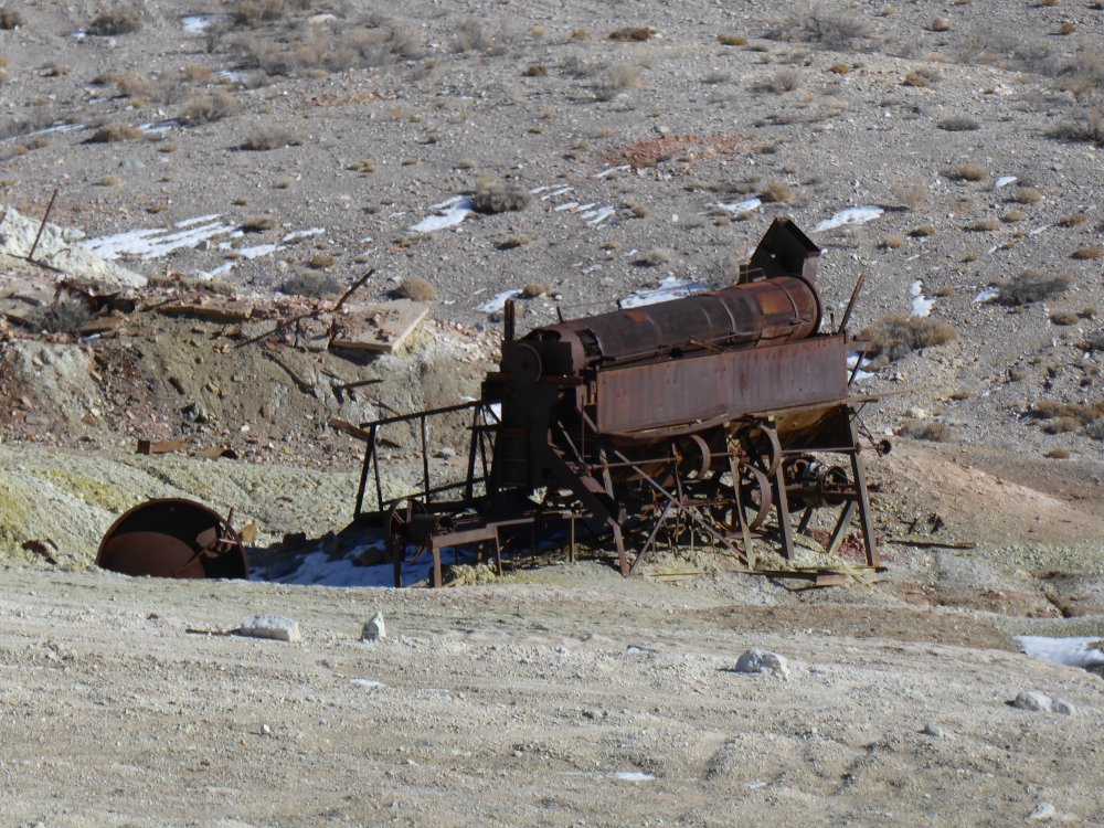
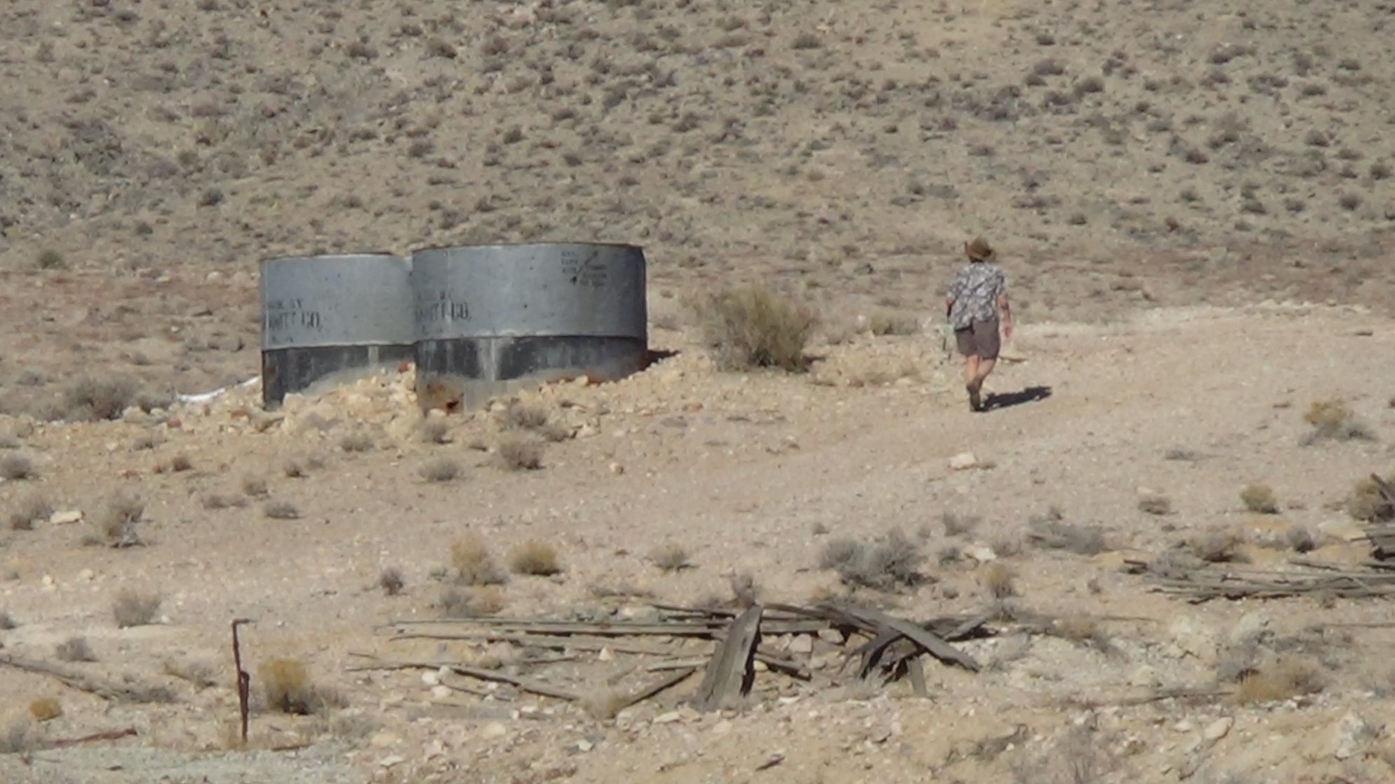
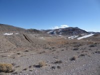
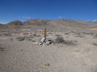
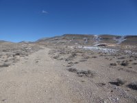
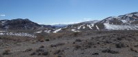
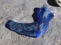
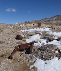
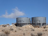
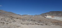
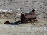
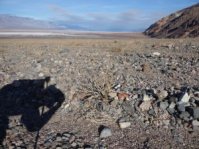
| Crater Camp was a copper mining camp in the 30s, and was never really big. It's fun to visit because there's a lot of mining and living stuff (like cans and bits of colored glass and whatnot) left all over the hills, and also it's just a beautiful hike. So here are the pictures I took; I went about a mile down a 4x4 road, through and past the camp and toward the far hills. There was snow around, but not a lot; the wind was cold, but I was okay in shorts and two shirts, at least in the sun. |
 |
 |
 |
 |
 |
 |
 |
 |
 |
 |
 |
 |
 |
 |
 |
 |
 |
 |
 |
 |
 |
 |
 |
 |
 |
 |
 |
 |
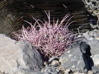
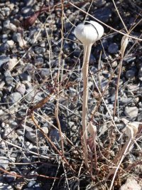 A Desert Trumpet that has opened to spread its seeds |
 |
 |
 |
 |
 |
 One of my very favorite pics of the weekend |
 |
 |
 |
 |
 |
 |
 |
 |
Okay, yeah, I took a lot of pictures here. There were so many interesting things! |
 |
 |
 |
 |
| Jim had wandered over to the mine area, and these are a few that he took. |
 |
 |
 |
 |
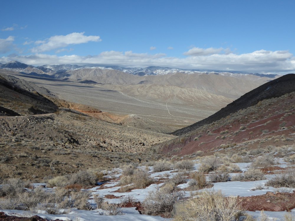
| Then we drove out through Hanging Rock Canyon, on the east side of the range, where all the snow was, and of course we had to stop and get pictures. Snow in Death Valley! What fun!
The last picture is the valley looking out over Crankshaft Junction, just before we go down the hill and back along that road. |
 |
 |
 |
 |
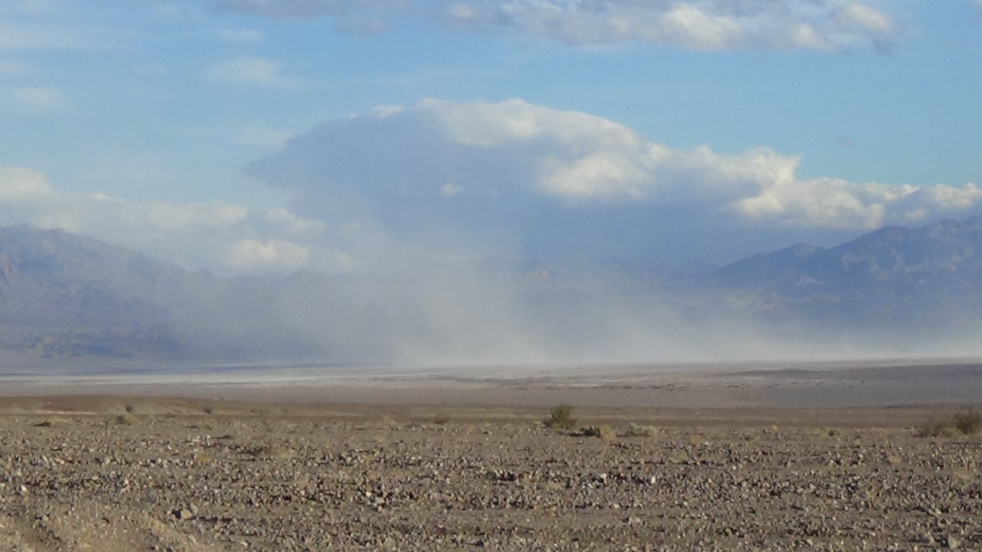
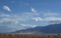
| And the drive back was beautiful, full of light and shadow and...uh oh, what's that? Is there a sand storm in the Mesquite Dunes? |
 |
 |
 |
 |
 |
 |
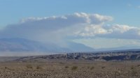
| Sure looked like it from a distance...but no, we passed the dunes and the column of blowing stuff was ahead of us...it was in the salt flats, and (we found out when we got back to the campground) the winds hit 30 mph that afternoon... |
 |
But as we got closer, it was still beautiful; the salt/sand/storm didn't reach our campground, and (after we picked up my stove and our chairs from where some well-meaning fellow campers had moved them when the winds hit) we chilled and had a beer. Lovely. |
 |
| We talked, played some music, discussed the next day...then I said, the light is going, I'd better make dinner. I lit the stove and tried to cook...but there was no heat. Flame, but not heat. I made sure the propane was hooked up right, but there was just no heat...and the connection seemed to be loose inside the stove. Hm...but now it was dark, nothing we can do about it. We had cold canned pinto beans, ham sandwiches and canned peaches for dinner. Edible but not exciting... |
| Saturday |
| Aaaaand...6 am came WAAAAY too early! but the group was gathering at Furnace Creek Visitor's center at 7:45, and we had to get up and pack lunches and get our breakfast...and remember, we had no stove. We had decided to try to fix it that night, instead of taking the chance of getting involved in stuff right before the hike. Didn't want to miss that! So here is a shot of the hills around the campground and Furnace Creek at dawn. |
 |
It was even more complicated than it sounds...there was a race being run that morning, from Furnace Creek north; it was a 10k/half marathon/full marathon mixed event, and we had run into people checking into the motel the night before. The clerk said the race started at 6:30 am, so we thought we'd get to the general store at Furnace Creek right after that and miss the crush of people...it turned out that CHECK-IN was at 6:30, but the race started at (yes) 7:45! so we got to the parking lot, pulled in and opened the tailgate and got our breakfastry out (they let us have free hot water, and Jim bought coffee, which meant he could use their microwave for his breakfast sausage, so that worked out even without a stove) and as we ate and drank our morning caffeine, we saw lots and lots of people coming in, parking, milling around. Pretty amazing.
|
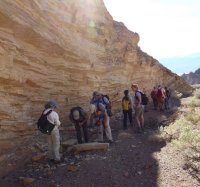
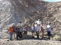
We met up at the Visitor's Center, and aside from having to wait for a group of runners to go by, everything was fine. Torrey Nyborg, who has a PHD in Earth Science and works out of Loma Linda U (and has been doing research in Death Valley for twenty years or so) led the tour. There was a representative from the DVNHA, Geneil White, and also a guy named Matt who was a ranger/geologist from New Jersey and was interning in DV for six months; he had only been there three weeks so far. There were also about 13 of us taking the tour.
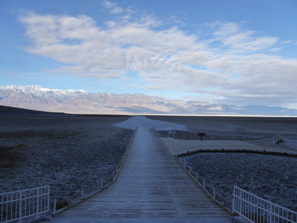
We stopped briefly at the last bathroom before Canyon X, and here is the only time I have ever seen Badwater without anyone at all walking on the salt flats. It's about 8:30 am at this point. |
 |
 |
 |
 |
 |
 |
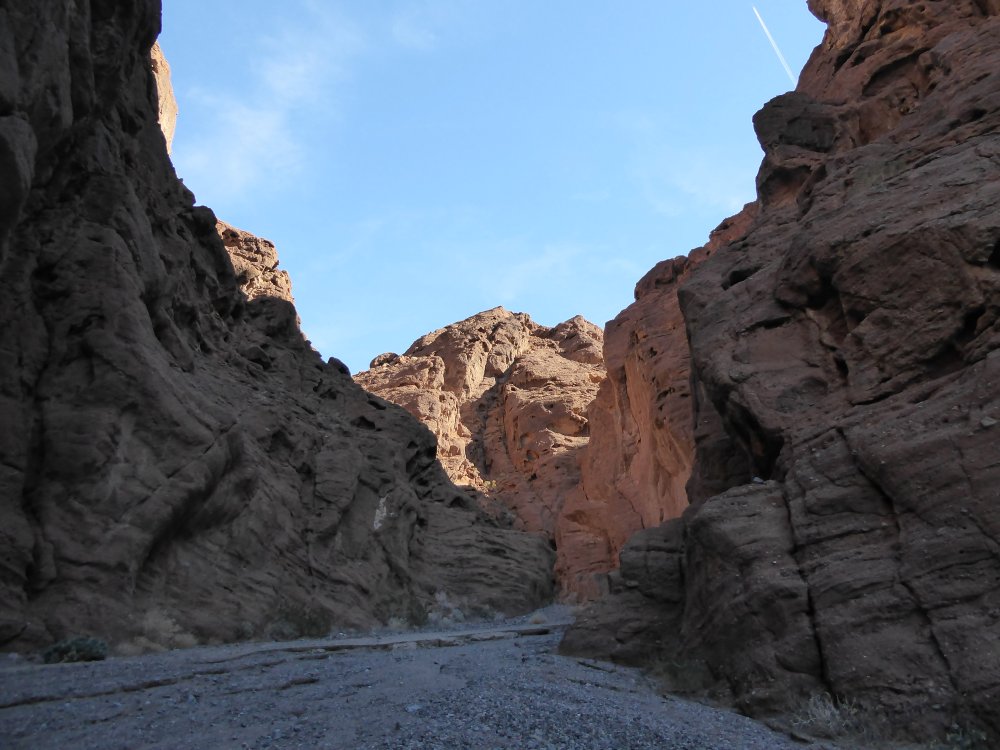
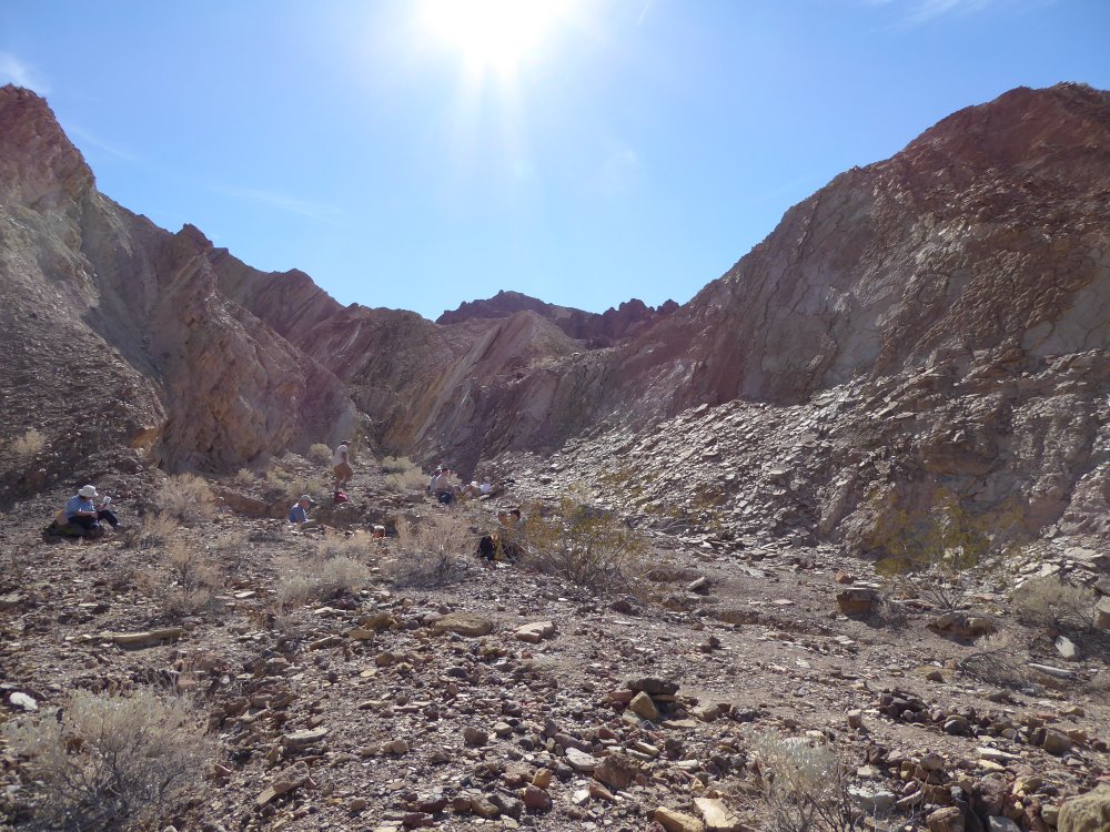
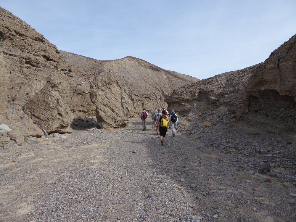
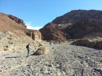
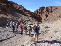
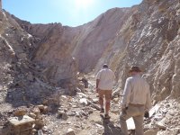
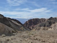
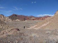
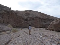
| Here we are, getting out of the Line of White Cars, and getting ready to hike up Canyon X. We're chatting, making sure we have everything, looking at the beautiful morning and the snow on the Panamints. |
 |
 |
 |
 |
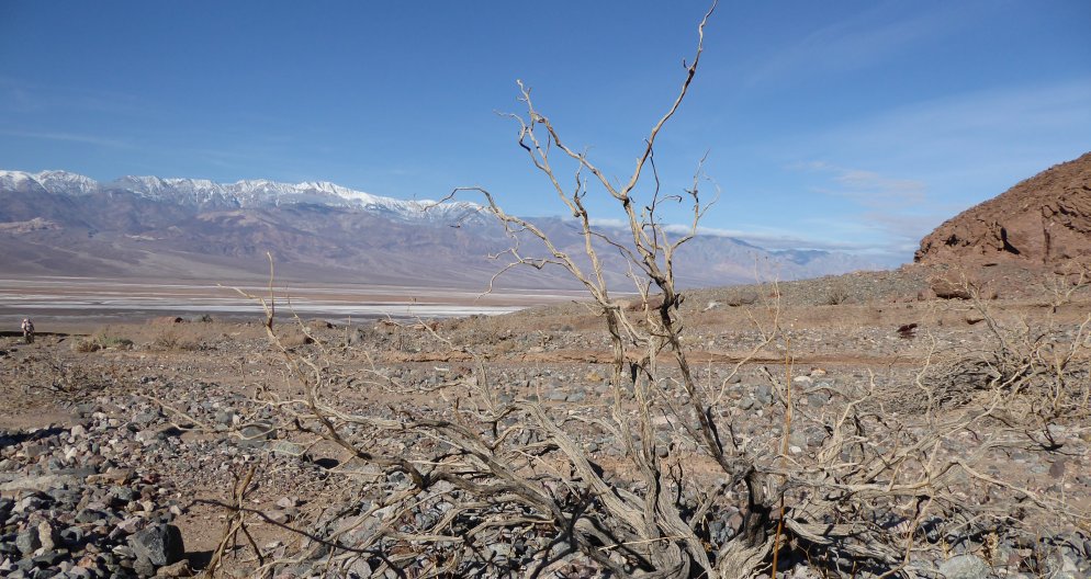
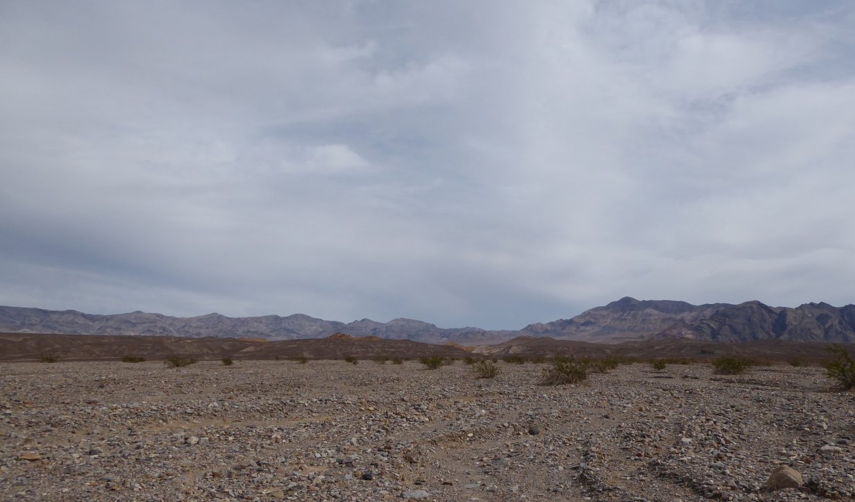
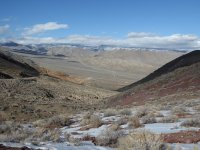
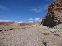
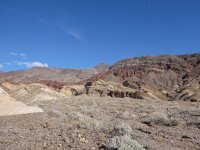
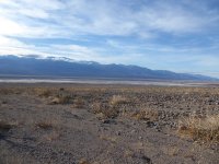
| The valley was gorgeous this morning. |
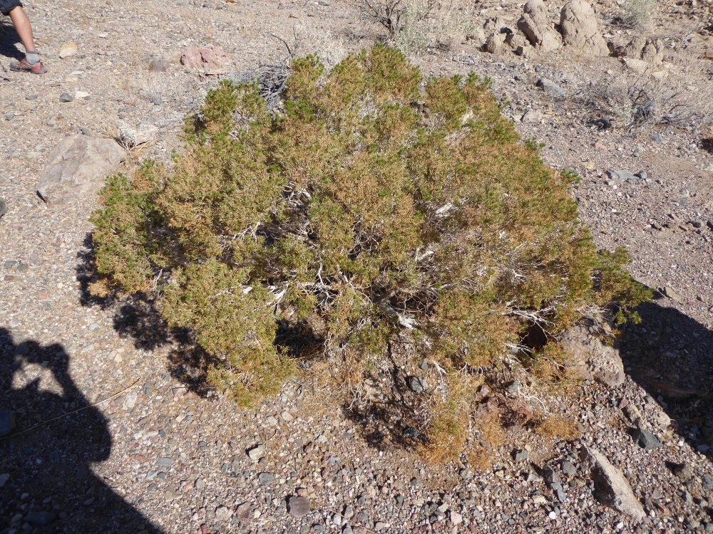
And a sort of self-portrait as I take a pic of a cool looking leafless bush. |
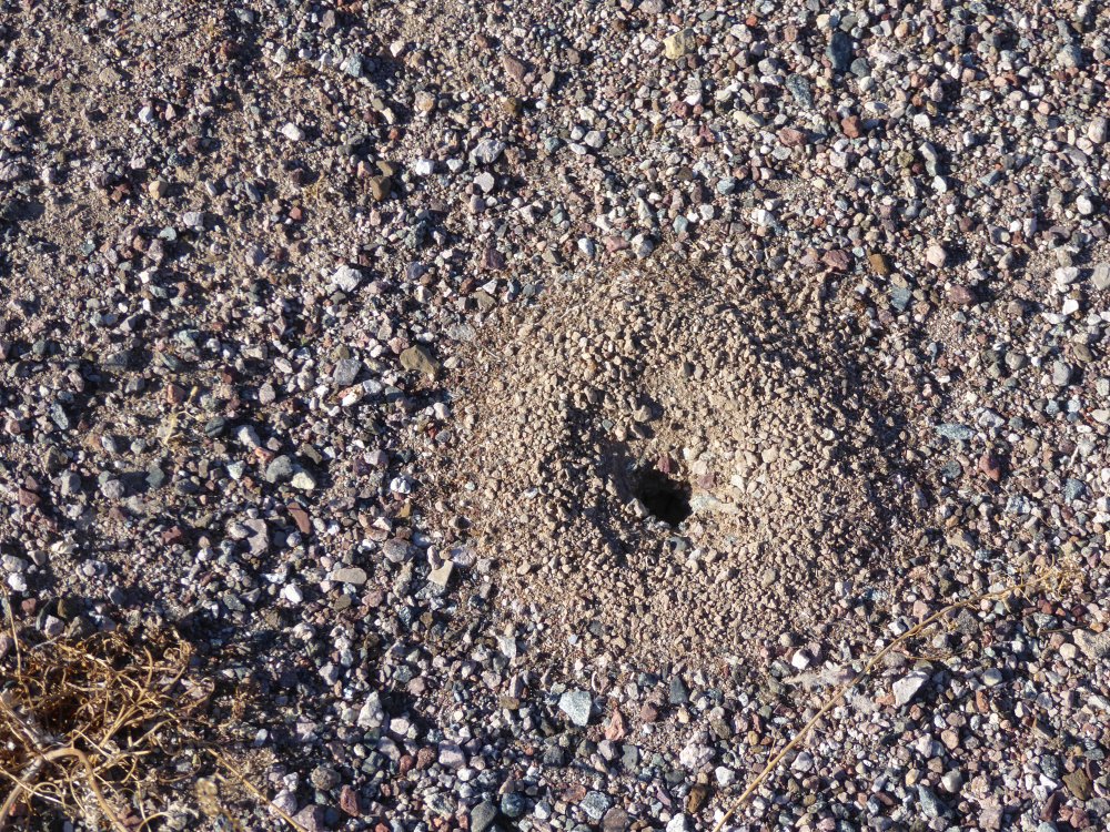
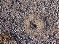
Ants! |
And they're up and around, done hibernating already! |
 |
 |
 |
 |
| An artsy shot, can't resist those. |
More snowy mountains. |
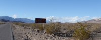
So I have to admit, as we drove to Canyon X, I was paying attention in case I was able to come back on my own...and I figured out the landmarks to return...and then I saw this sign as we got to the canyon. Hm, I said, maybe not... |
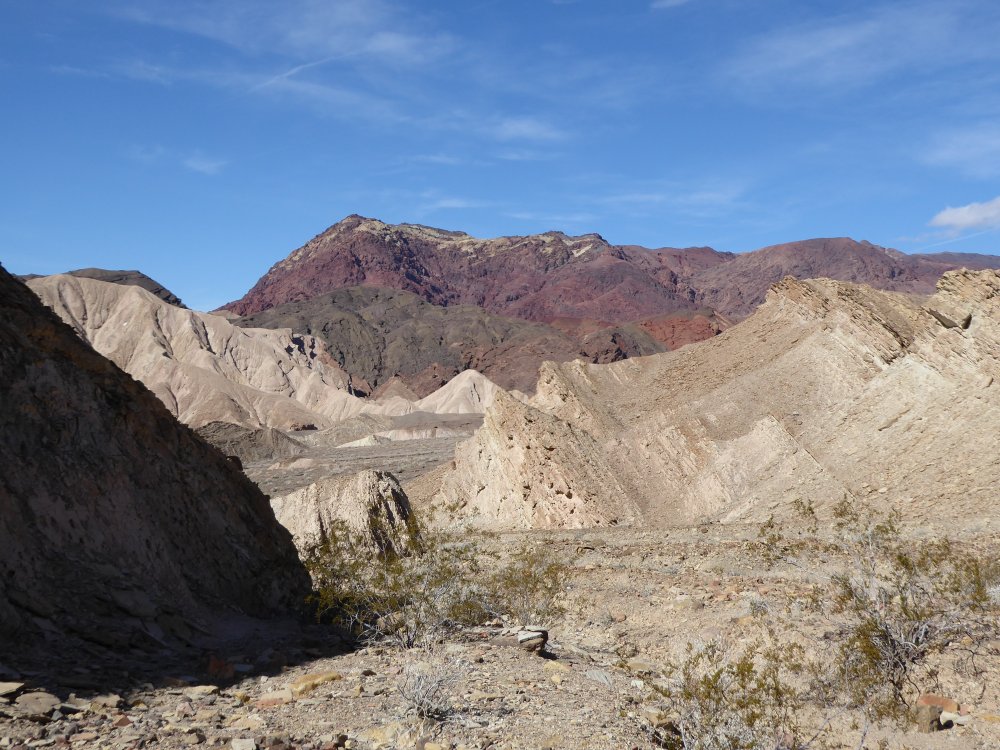
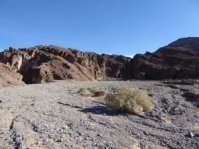
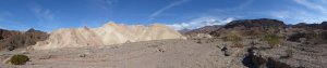
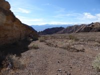
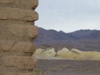
The alluvial fan we've been hiking up is leading into Canyon X. |
 |
 |
 |
 |
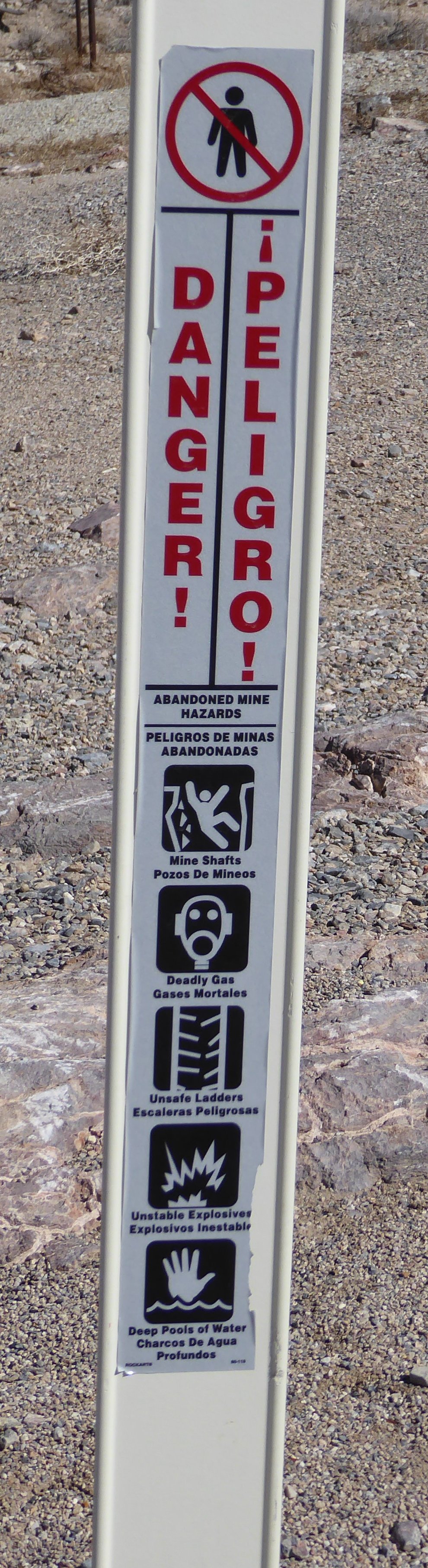
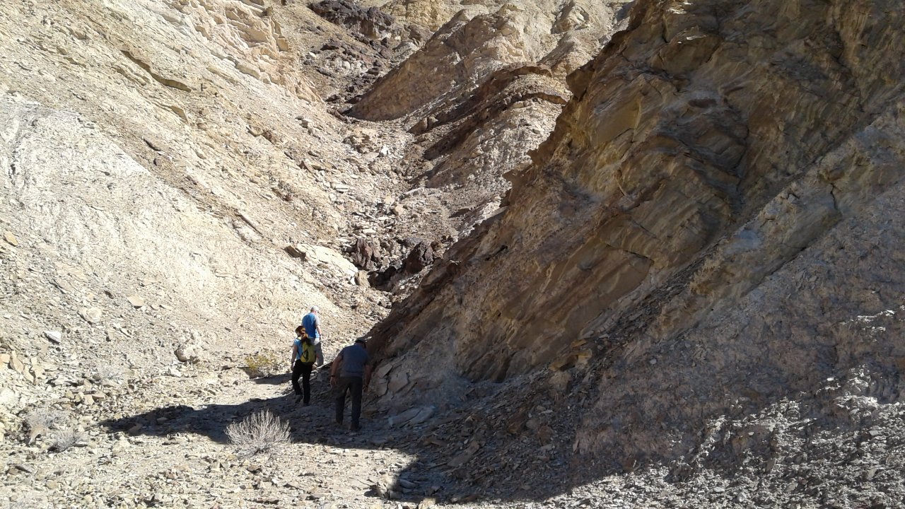
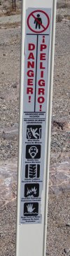
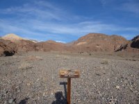
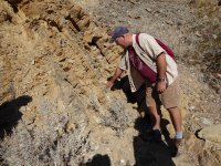
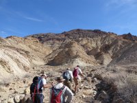
| We walked up the canyon at a moderate pace; I was not at the head of the group, because I was taking a lot of pictures, but I was glad to see that I was not at the tail end either (that would wait til the end of the day...!) And then we came to this sign, and I thought, okay, guess I'm not coming back here on my own after all! And later on I found out why it's so completely off limits... |
 |
 |
 |
 |
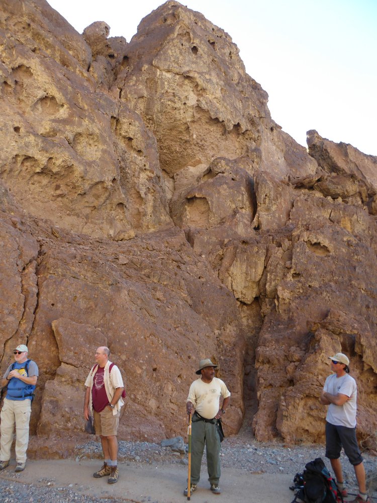
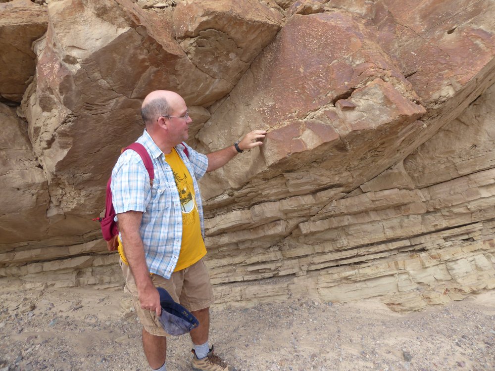
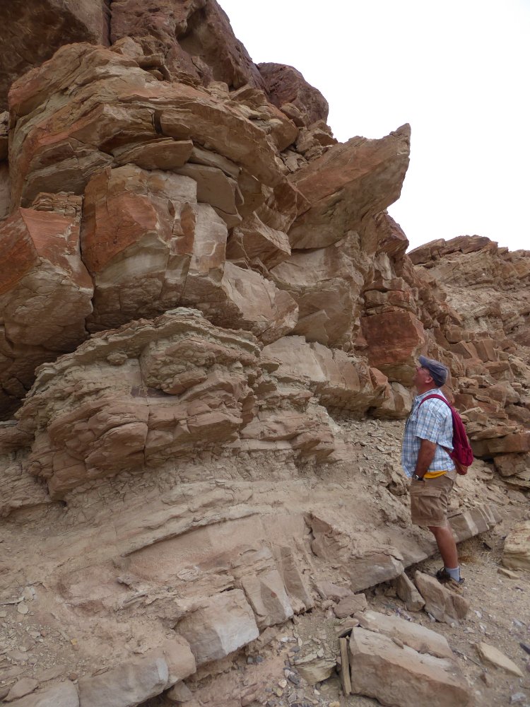
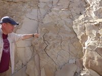
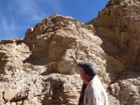
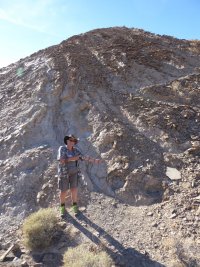
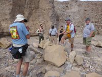
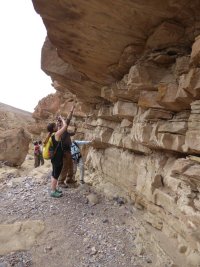
| Here's Torrey, telling us cool stuff about the geology we're walking through. |
 |
 |
 |
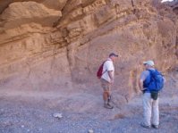 |
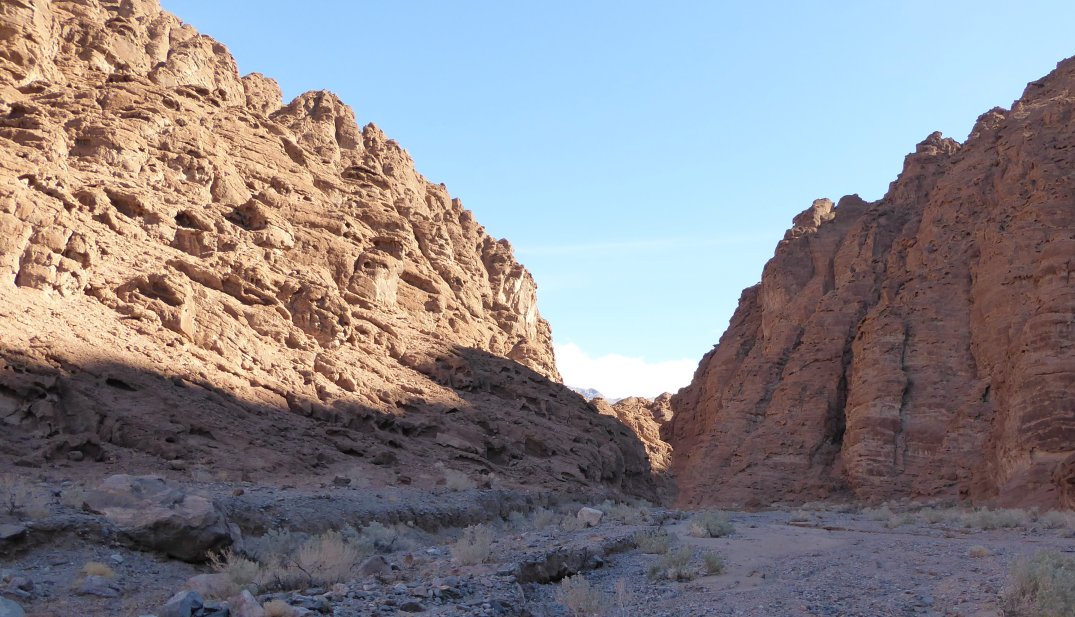
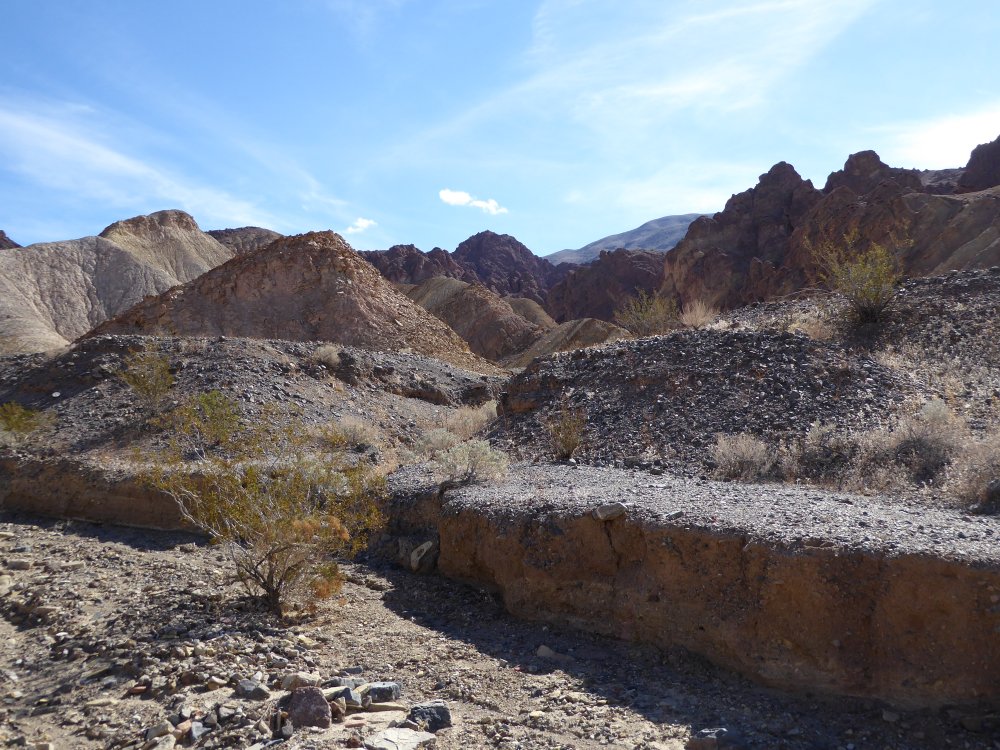
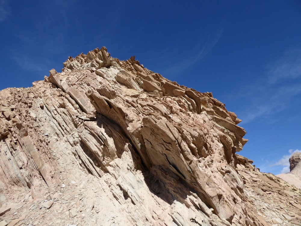
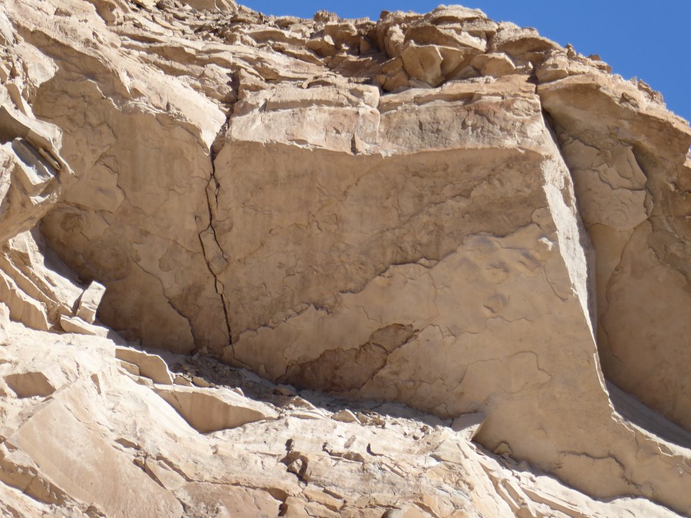
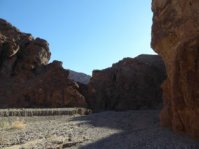
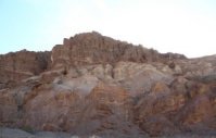
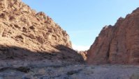
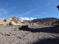
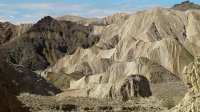
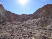
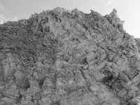
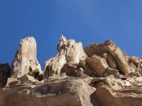
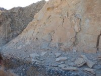
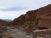
| And you know, this is an amazingly beautiful canyon. Even without all the paleontological stuff, this was a really great hike. |
 |
 |
 |
 |
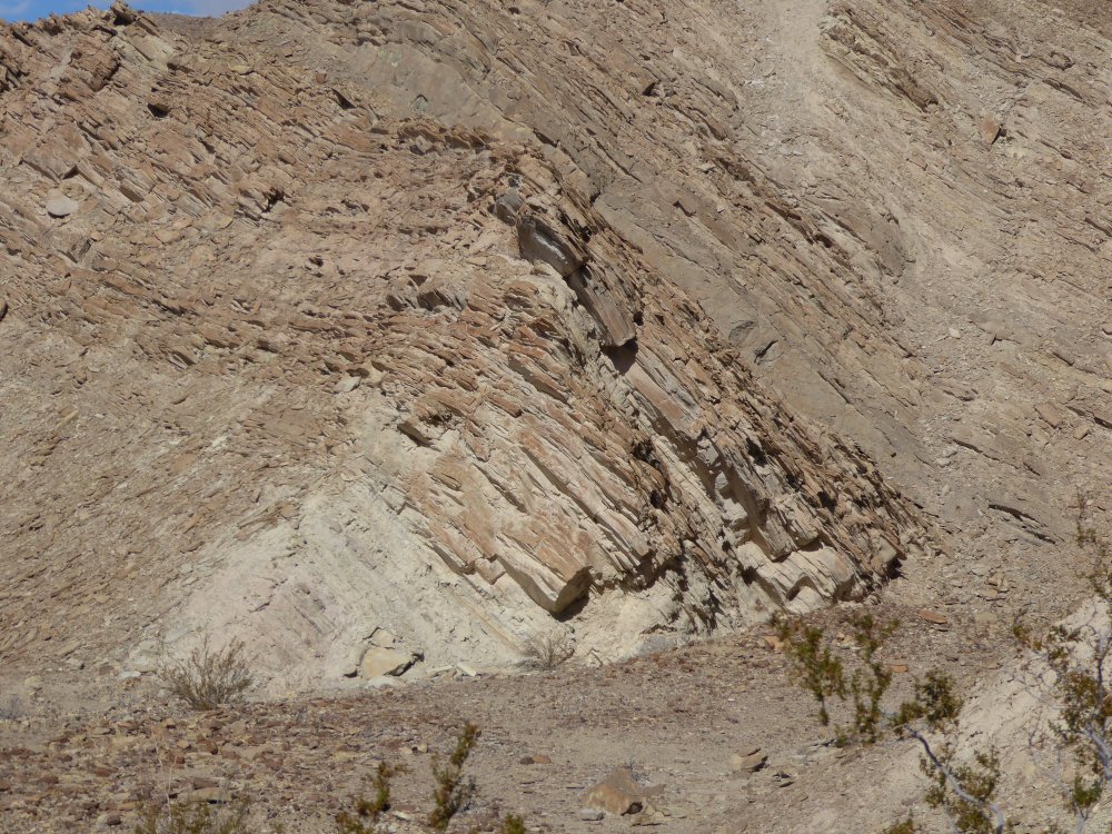
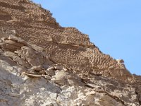
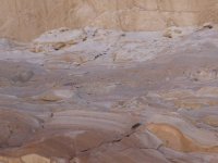
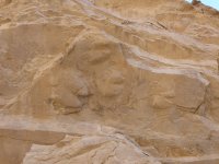
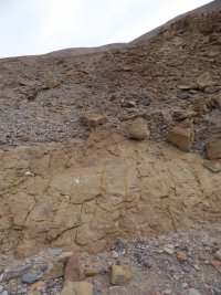
| You can see two faultlines running through the layers of this rock. |
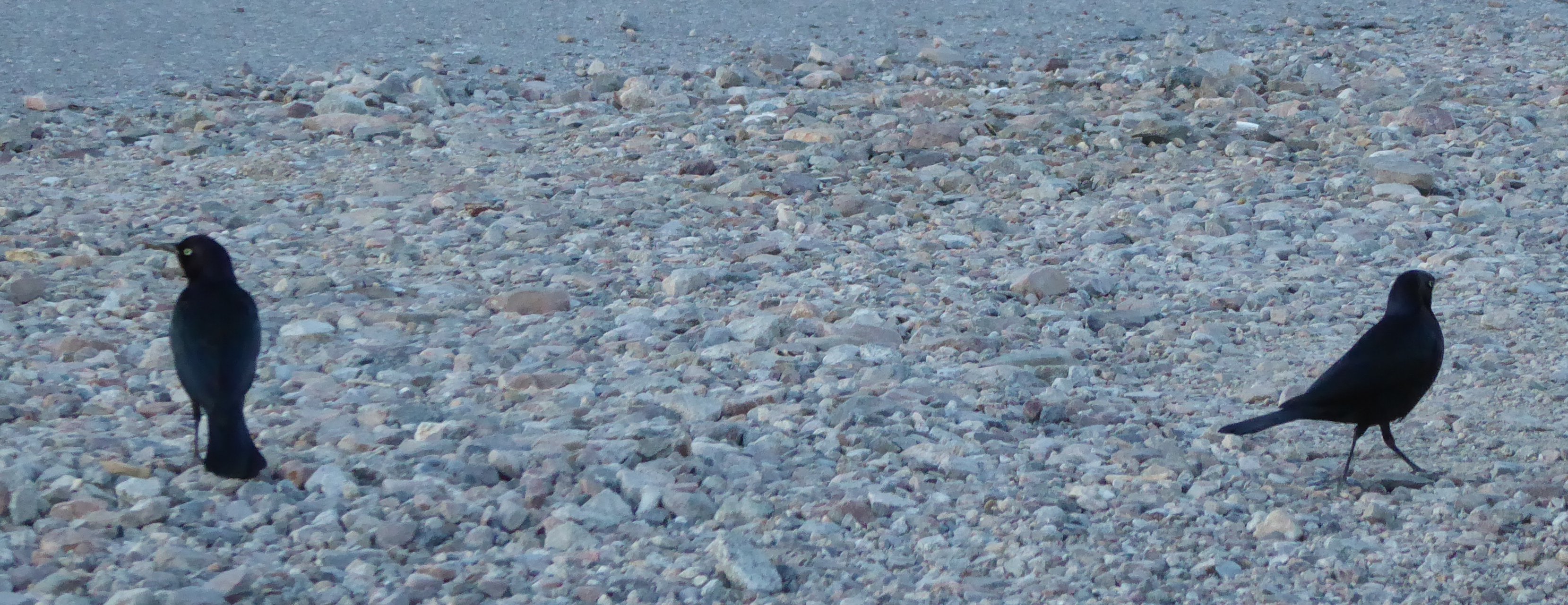
Two birds, too far away to identify. Probably Ralphs, as we call ravens... |
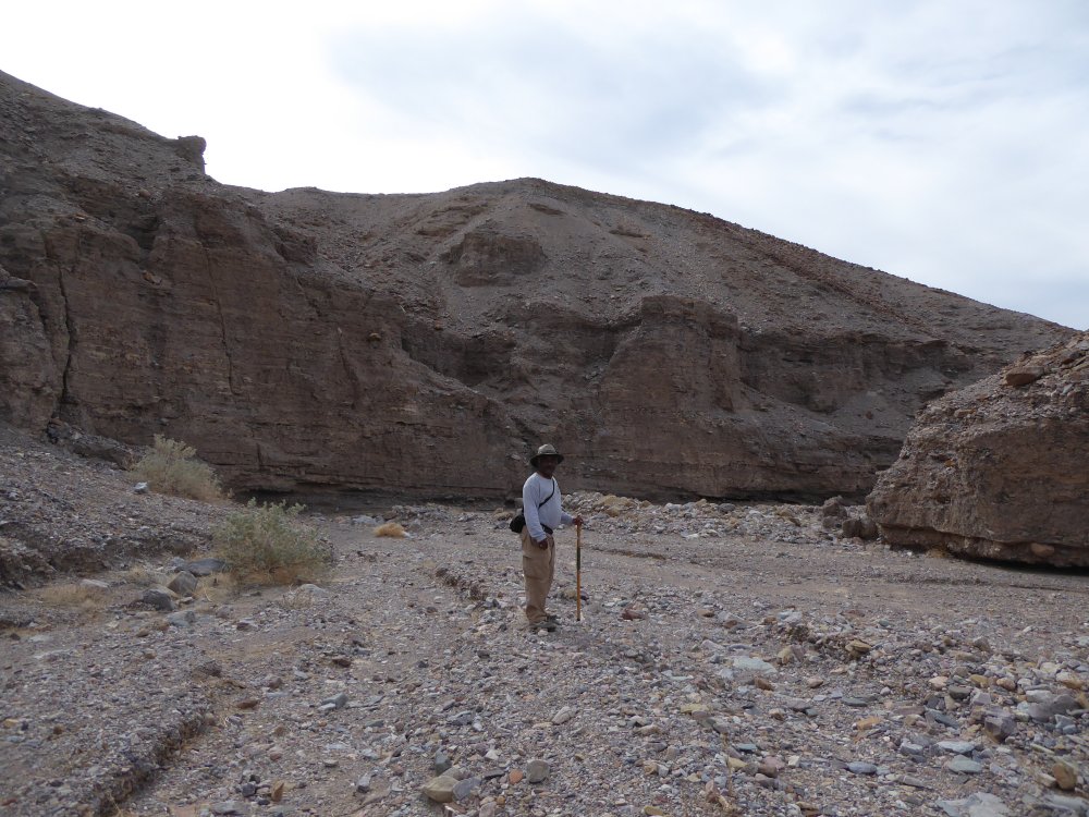
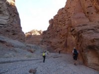
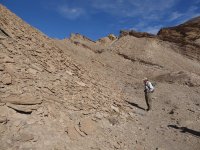
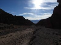
Yup, it's a hike. Up a canyon. All uphill on sand and gravel. We were told that it was 3 1/2 miles each way, but I think it was more than that...maybe 4 1/2? it took all day, because we meandered around the canyons a lot. |
 |
 |
 |
 |
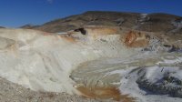
| And the canyon kept on going, narrowing then opening. The last picture is something Torrey is showing us, an arial view of the canyon. We started at 5.1 million years, and at the moment where we are looking at his notebook we are where it says 4.3 million years; we will end up at 3.3 million year old rock, and that will be TPTMNBN. |
 |
 |
 |
 |
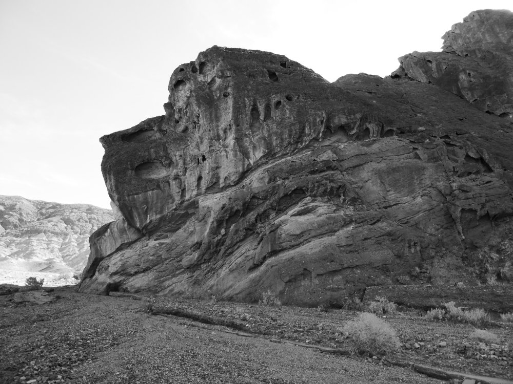
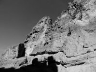
| I love my black and white filter! |
Torrey is telling us how these canyons were formed and about the rocks around us. |
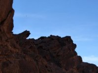
Red, black and pale rock side by side... |
and the far side of this open part of Canyon X. I love saying that, it sounds so mysterious. Canyon X. Canyon X. Canyon....X. |
 |
 |
 |
 |
| It's rainy and cold at home...I am LOVING the sunlight and (70 degrees) heat here. Just loving it. |
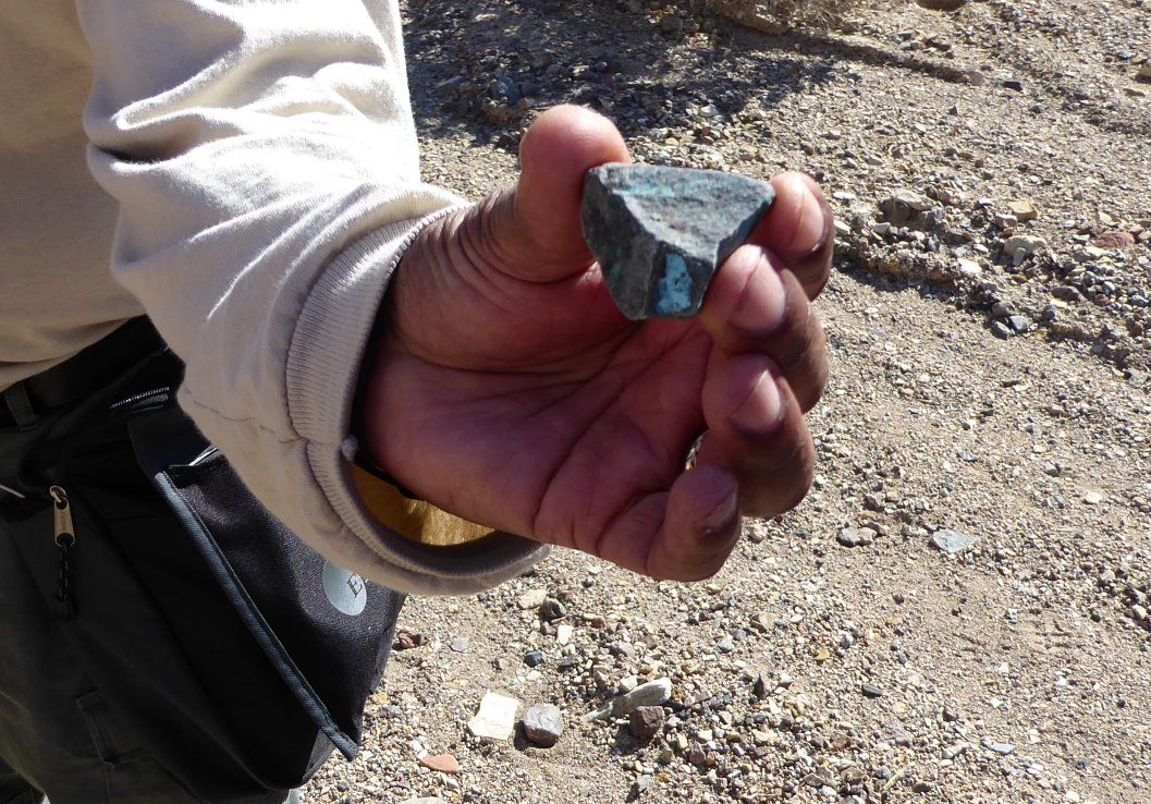
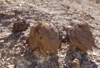
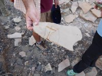
Jim is holding a piece of copper ore. |
Torrey points out the start of the fossils we'll be seeing... |
ancient sea fossils, tiny shells. |
 |
 |
 |
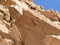 |
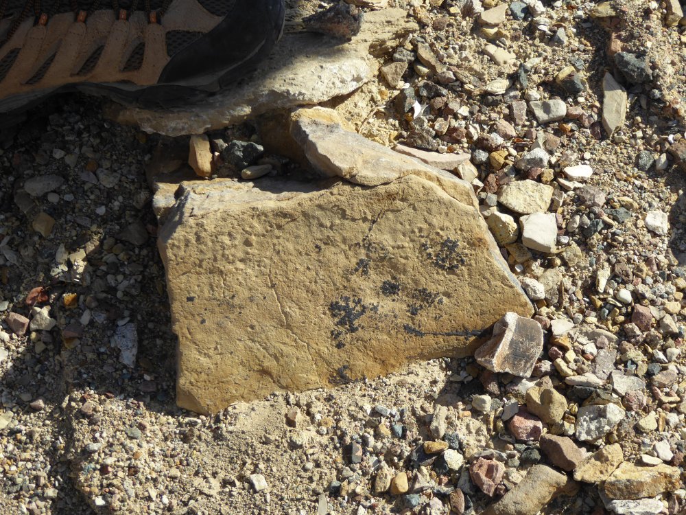
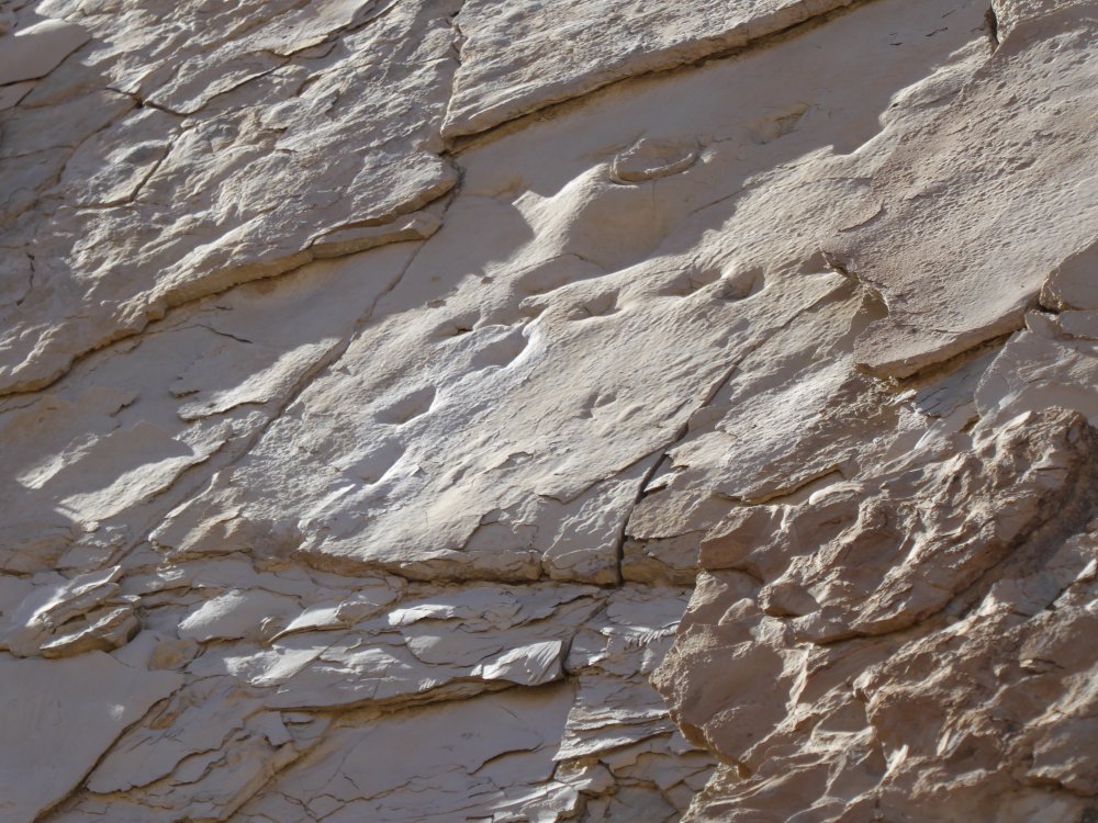
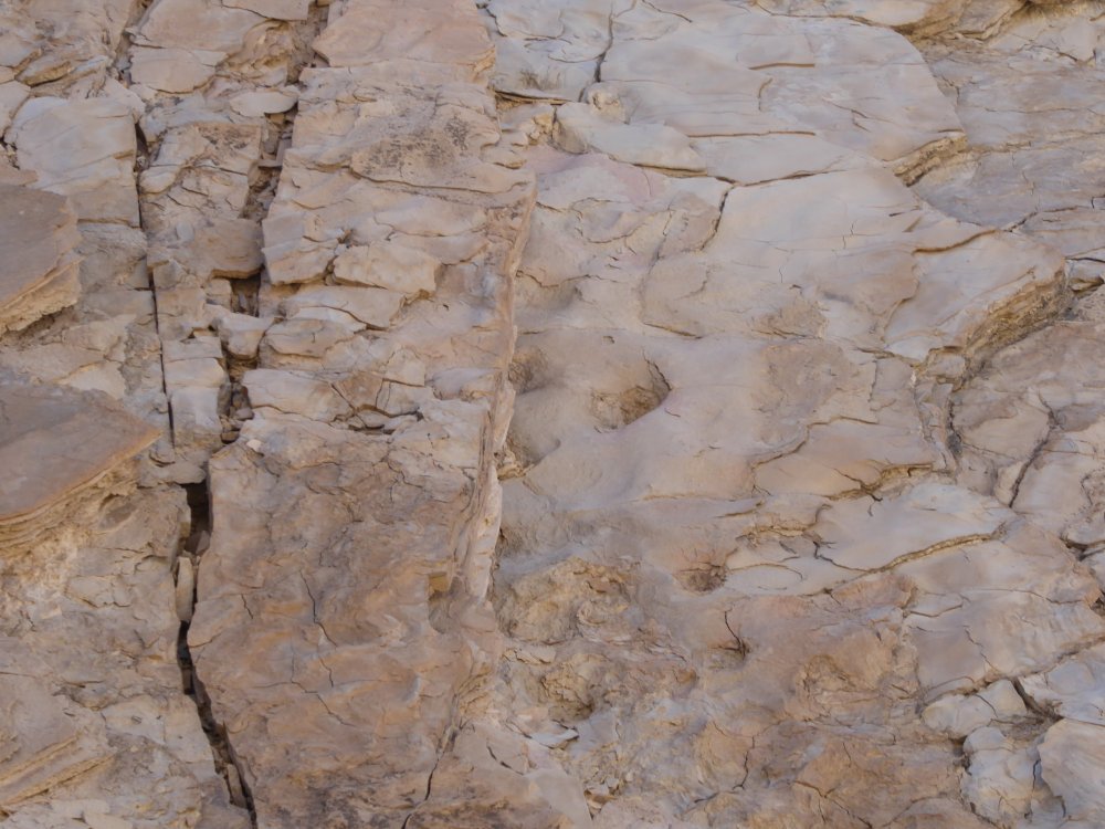
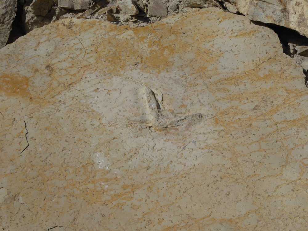
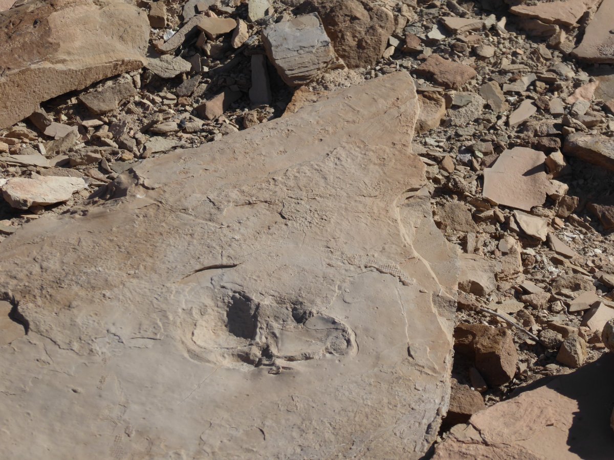
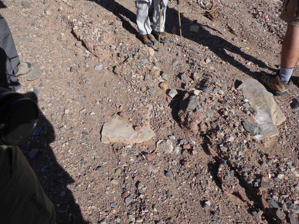
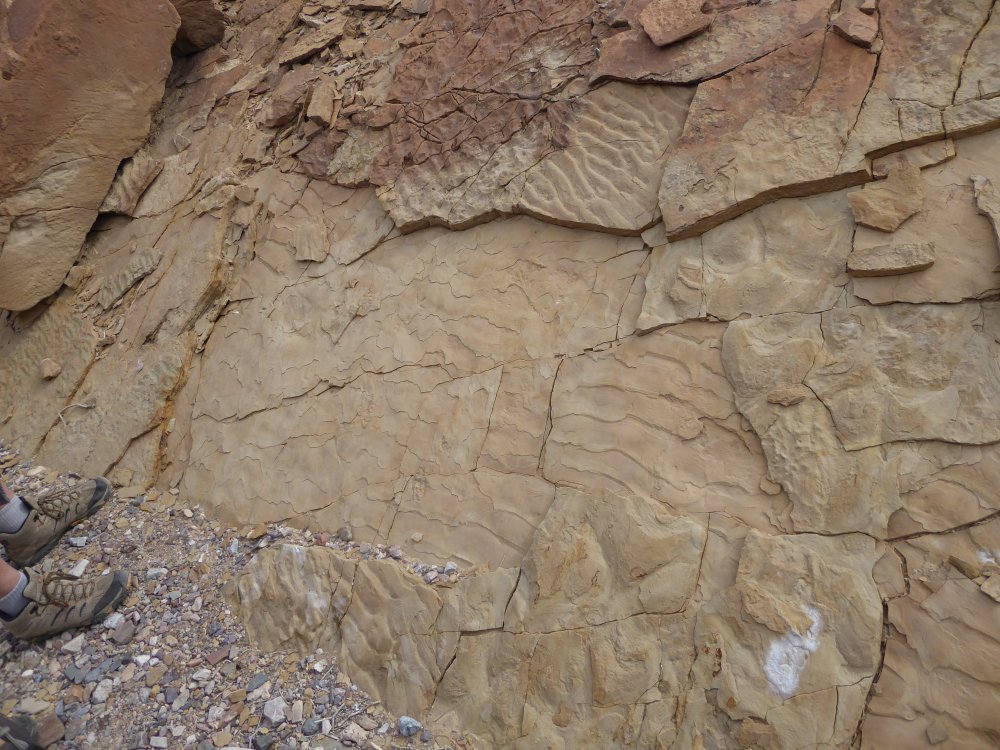
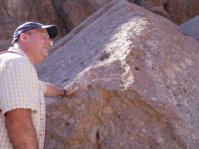
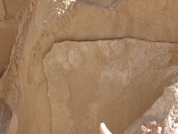
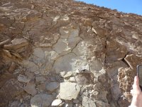
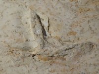
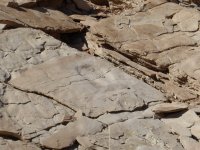
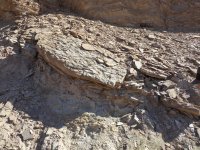
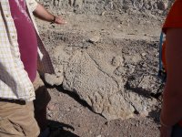
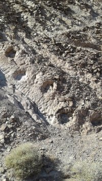
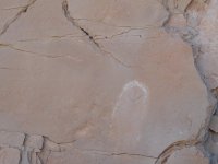
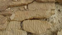
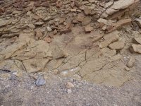
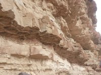
| This is where we really started seeing great stuff. The third photo shows a shelf of rock, and in the fourth you can see the bird footprint that is there.
Now, there are two important things about all these imprints to know:
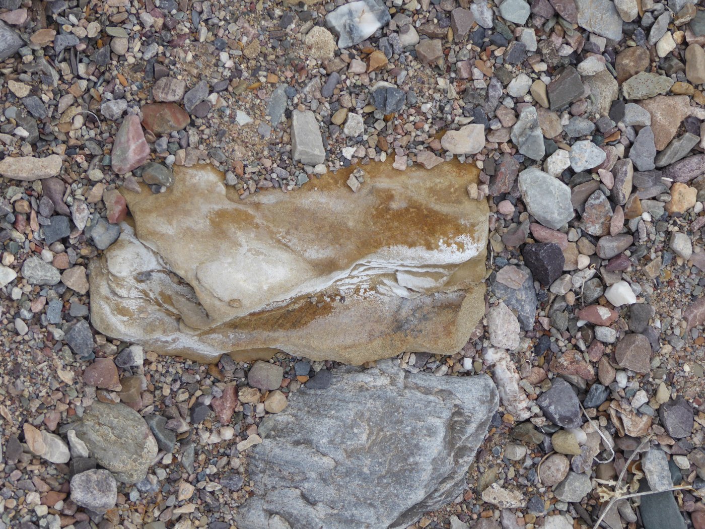
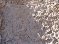
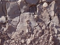
- They are all imprints in mud, and either they are the actual imprints, or they are convex prints where thicker mud filled in where the tracks were, made layers, and then the lighter mud fell away from underneath when it was exposed.
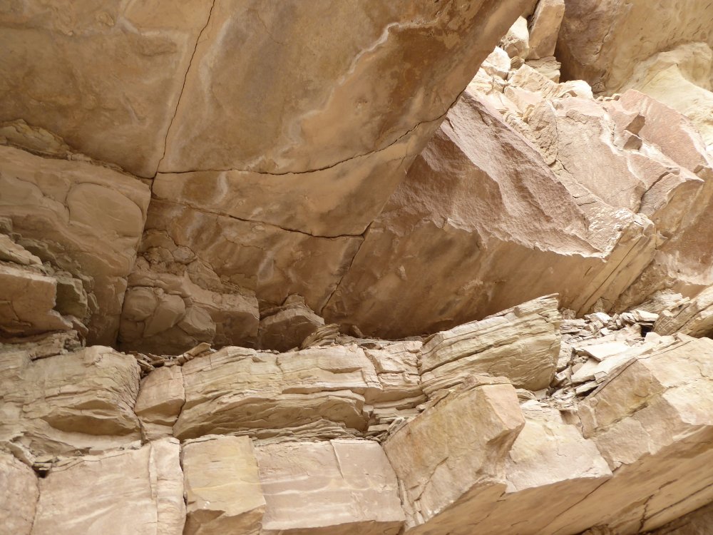
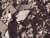
- The other thing to know is how incredibly fragile all of this is. Yes, it's rock, but we're not talking solid granite...this is fragile stuff that breaks and fragments if you even look sharply at it, and now I completely understand why this area is off limits...even the most well-meaning unwatched hikers could do truly awful amounts of damage without even noticing it.
|
 |
 |
 |
 |
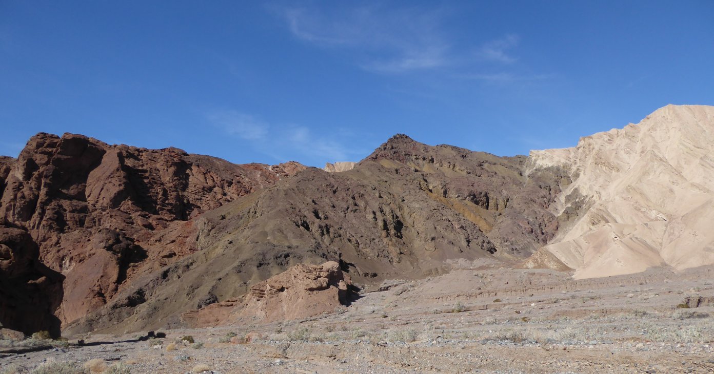
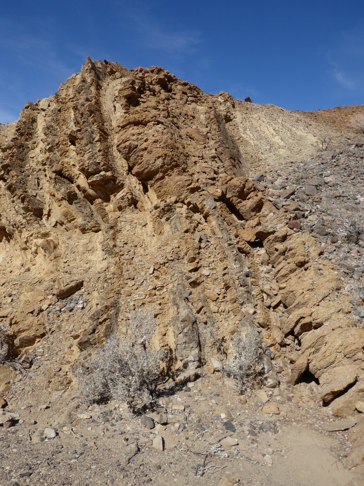
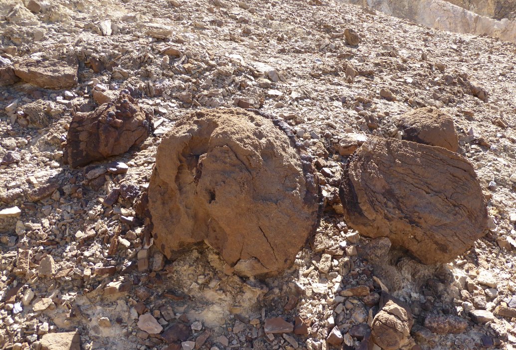
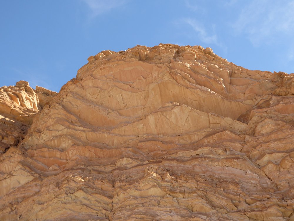
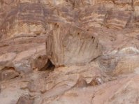
| We're almost at TPTMNBN and the colors and shapes in the canyon are amazing. The third picture shows iron that has replaced plant fossils, and the fourth is Jim's beautiful picture of the surrounding hills. |
 |
 |
 |
 |
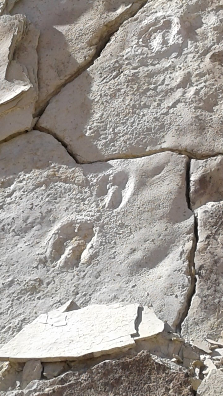
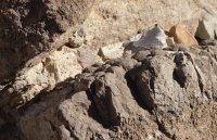
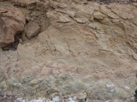
| And now we are getting to TPTMNBN, and here are animal tracks! They don't know yet which specific animals they were, but the kind is usually apparent, although the two above are just 'lots of animals' because I can't see/remember which is which when there are so many. |
 |
 |
 |
 |
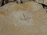
| Lake bed ripples and bird tracks. |
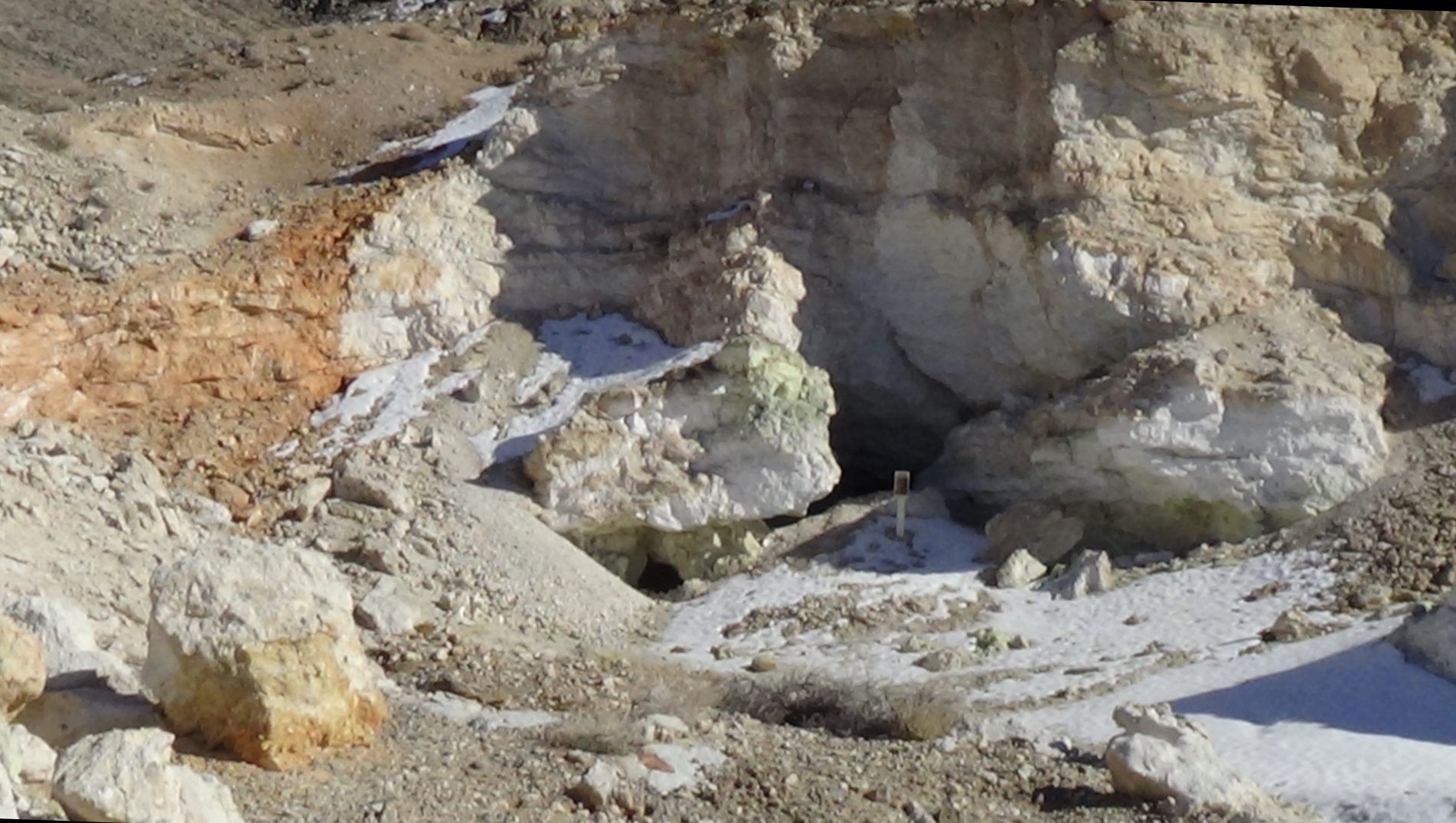
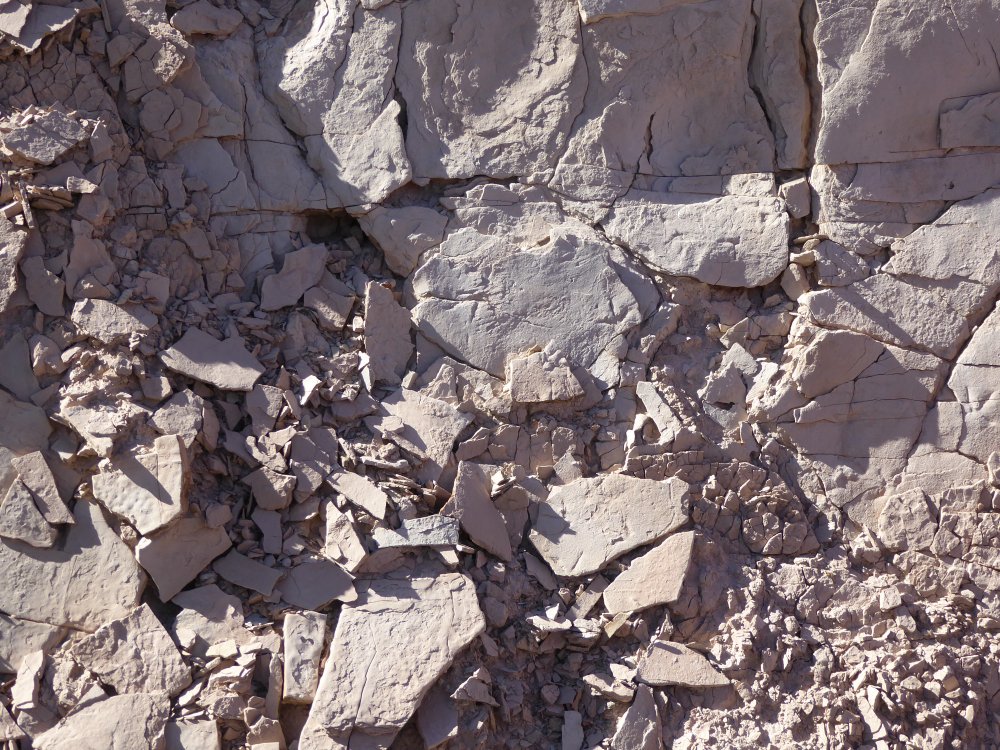
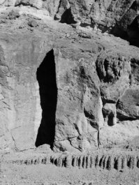
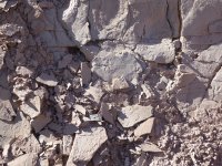
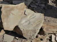
| And this is TPTMNBN. Specifically, the whole rock wall on the right side of the picture, where it's half buried by broken and fallen pieces of itself. This is why it's not open to the public; Torrey said that there are probably as many tracks in the broken pieces as are on the wall itself, and they break off and expose more tracks every time there's a big enough storm or other event that dislodges them. |
 |
 |
 |
 |
 |
| Ancient animal tracks... |
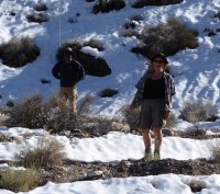
Two not-so-ancient animals. Jim and Frank. |
TPTMNBN |
Tracks. |
 |
 |
 |
 |
| We stopped at TPTMNBN for lunch, and Torrey took half of us at a time up a narrow side canyon to see cool geological stuff, like more camel prints and tufa mounds and basalt rocks with stuff that looks like brains on it. |
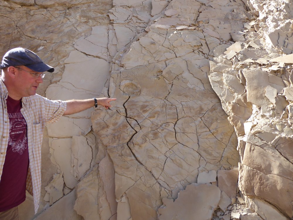
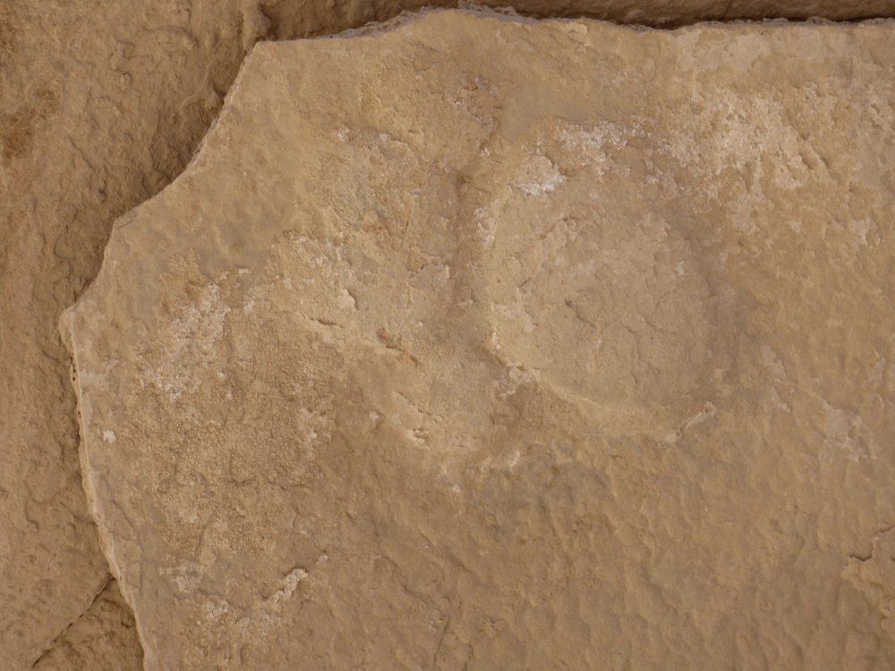
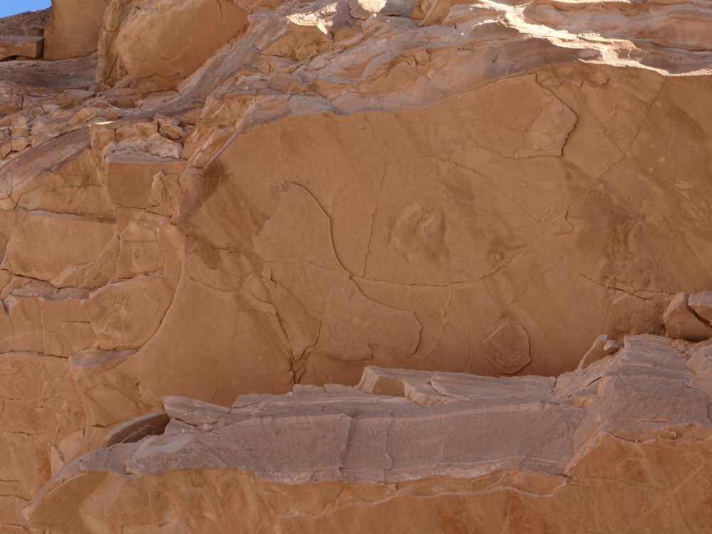
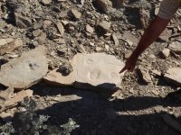
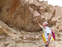
| KITTIES! Torrey is pointing at yet another place with a cool name that I cannot use, and you can see a big beautiful kitty print. It's about four inches across. |
 |
 |
 |
 |
 |
 |
 |
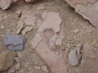
| More of the brain-stuff, and also a great example of rock that was mud, and smaller rocks that were thrown through the air hit it and made tracks; you can see the tracks and where the small rocks still are. |
 |
 |
 |
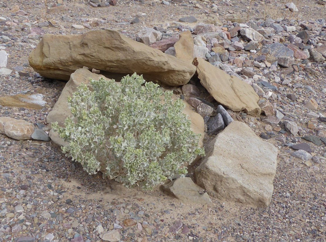
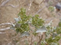
One cool-looking plant, and a lot of camel tracks. They're easy to spot because they have two toes. |
 |
 |
 |
 |
 |
 |
 |
| Camel, camel, landscape, bendy rocks. Canyon X was really beautiful, and it was a gorgeous day. |
 |
 |
 |
 |
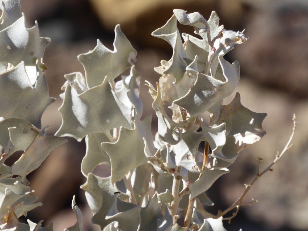
| Desert holly, some of the group crossing the canyon floor, more gorgeous rocks. |
 |
 |
 |
 |
| Bird tracks, Telescope Peak just peeking out of the clouds (or peaking, if you're in the mood) and another camel. |
 |
 |
 |
 |
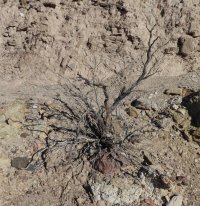
| A cool dead bush, a picture going up the canyon (half the group went on another half mile or so, the rest dropped back to wait at our last stop), a pygmy cedar, and more fun with the black and white filter! |
 |
 |
 |
 |
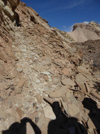
| We just walked along looking at all these shards at the foot of the cliff; many of them had a track or two on them. |
Camel! |
Not sure what this was. |
Looking for tracks. |
 |
 |
 |
 |
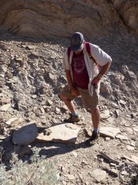
| Walking up into the canyon, more loose rock, and Torrey pointing to two sets of horse tracks. |
 |
 |
 |
 |
| Torrey showing us the horse prints, the track of a canine (mostly worn away), more of the tiny rocks thrown into mud, and the underside of the rocks, pretty!. |
 |
 |
 |
 |
| Sea creatures, camels, and the other side of the unmentionable place with the cool name. |
 |
 |
 |
 |
| I've zoomed way in to the top of the ridge, but it's too far away to really see anything. Torry is pointing out where iron oxide has replaced a plant that was in the mud; you can see the orange lines. |
 |
 |
 |
 |
| Melty rocks and plants, including a tiny 3 inch turtleback plant. Only one I saw all weekend. |
 |
 |
 |
 |
| Camels, a lovely kitty print, and the group strung out along the canyon wall, looking at cool stuff. |
 |
 |
 |
 |
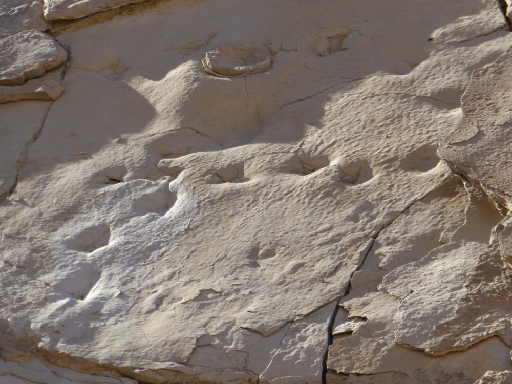
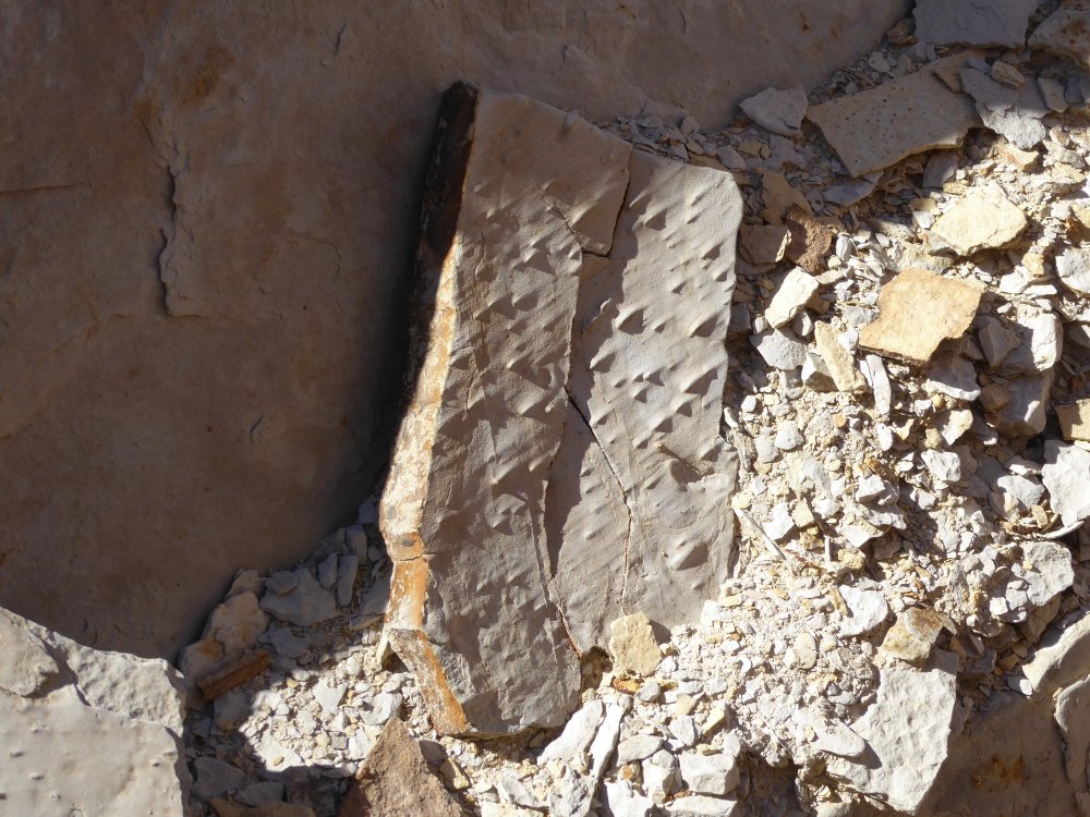
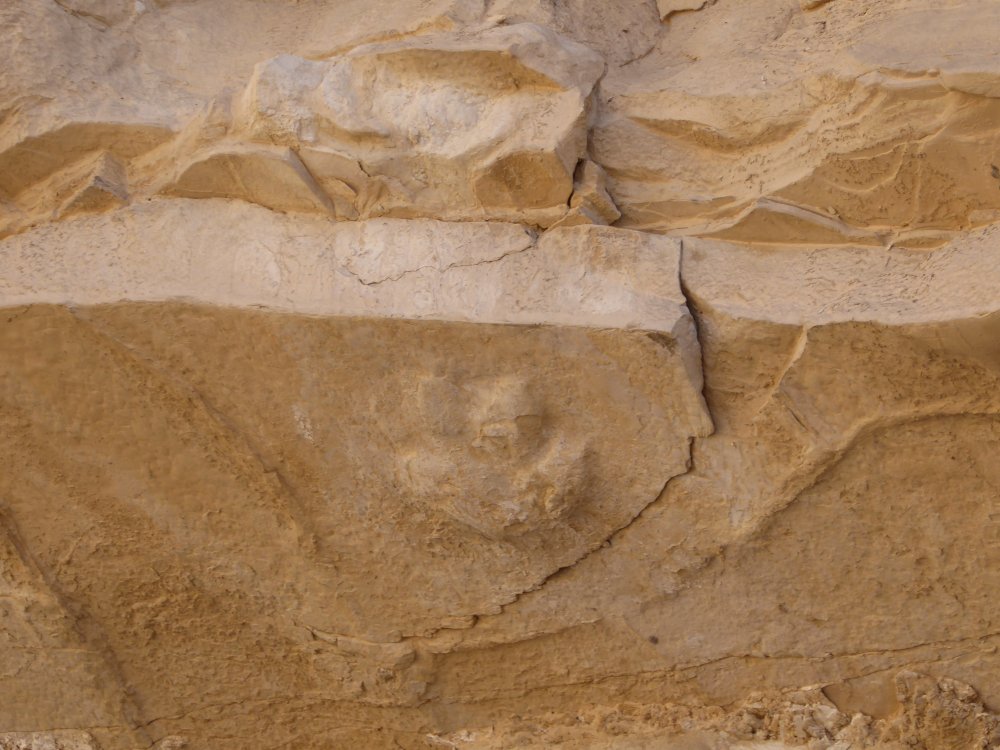
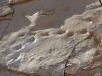
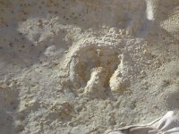
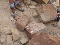
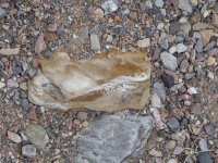
| This was one of the best things of the whole day. See those round depressions going up the side of the wash? Those are MASTODON FOOTPRINTS. Torrey said there are five sets known to exist in the world; three of them are in Death Valley, and these are the best of the three. These are the BEST MASTODON FOOTPRINTS IN THE WORLD. Wow.
So of course it was a huge photo op! |
 |
 |
 |
 |
| So...one more picture of the beautiful colored wash, one more iron-infused ancient plant, a really cool bird track with a white semicircle over it...and it's time to go. It was about 2:30 at this point, and we had 4 miles to get back to the cars...and I was kind of tired! |
 |
 |
 |
It was a long hike back, especially after I fell down and slid in the gravel, cutting my hand open and scraping my knee. Sigh. Geneil kindly stayed back with me as I limped in, we were the last ones back to the cars...which you can see in the middle picture, the three tiny dots almost in the salt flats. And yes, there I am, all cut up. Poor Jo! |
| So we got back to the campsite around 5:30, and Jim took the stove apart...the propane feed had broken, either when the well-meaning campers had moved the stove to the ground, or when I picked it up. Whichever, it was dead. Which meant A) no hot dinner and B) no hot water to clean up my (still oozing) wounds. So I took the truck and went to Furnace Creek, hoping for hot water in the bathrooms. No such luck. Cold water, foamy soap and (OUCH!) iodine from my truck first-aid kit...and MANY bad words were said at that point!
After I was cleaned up and bandaged, I went back to the campsite, and we discussed what to do for dinner. I knew that the Furnace Creek market had microwave burritos, which I happen to love and rarely get. So we went down there, had burritos for dinner, and played 500 rummy til 8:30 or so, at which point we went back and went to bed.
I had just gotten my first Kindle and was having a WONDERFUL time reading in my truck every night, but I have to admit, after all the hiking, my eyes closed at about 9:30 pm... |
| Sunday |
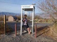 |
There was a derelict phone booth in the campground, and both Jim and I thought it would be hilarious to take pics of me both A) trying to use it with no phone in it and B) using my cell phone in the old phone booth. We are so easily amused... |
 |
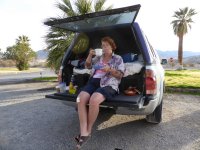 |
We had yet another tailgate breakfast at Furnace Creek, as you can see. I am actually enjoying my tea, as usual I'm making a funny face when the camera caught me. Sunday was a half day of hiking and paleontology; we were going to meet at the Visitor's Center at 10, and hike til about 1. Easy peasy. We drove a few miles south of Furnace Creek and again hiked into a canyon, although a shorter and easier hike than the previous day. Also not a secret location, but one we could come back to in future if we want. |
 |
 |
 |
 |
 |
| Still a nice warm day, about 72 degrees, overcast but not cold. Nice for hiking, although I missed the sun, of course... |
 |
 |
 |
 |
 |
 |
 |
 |
| Torrey talking about mud ripples and the bird footprint that is in there as well. |
 |
 |
 |
 |
 |
 |
 |
 |
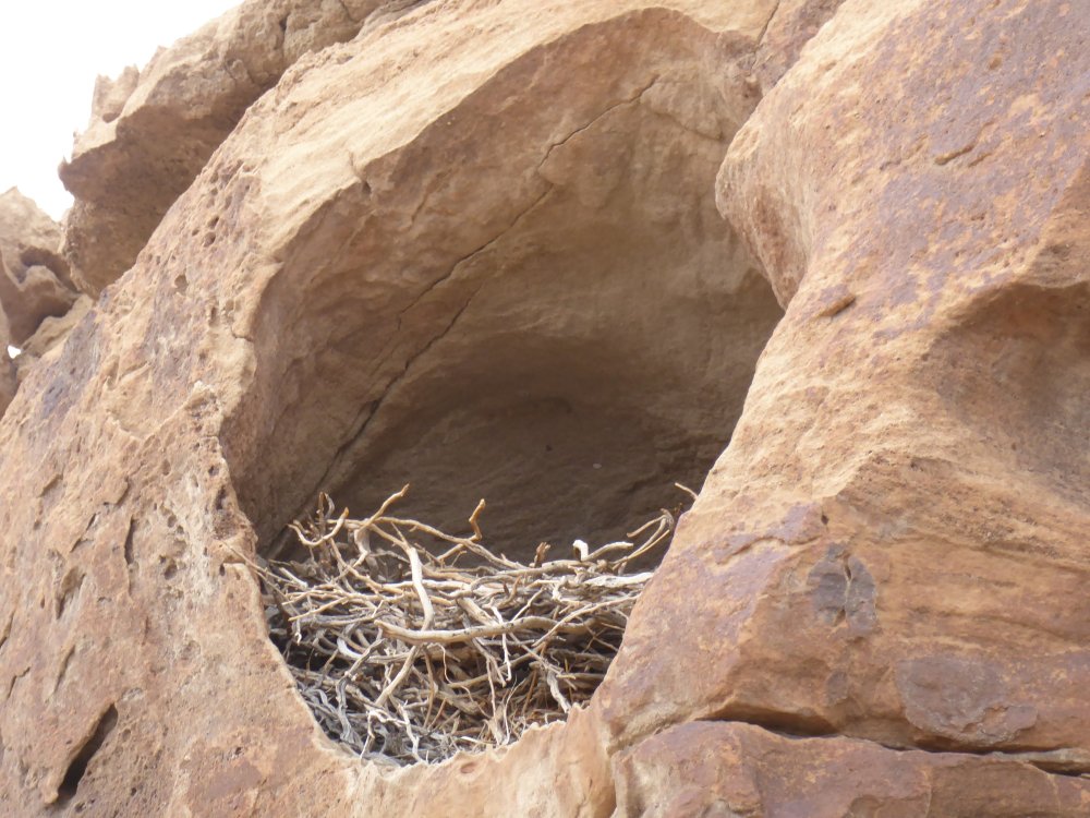
| A birdwatcher who was with the group noticed this (abandoned?) nest high up in the cliff face...we didn't see anything moving, but we were a big loud group, so who knows? |
 |
 |
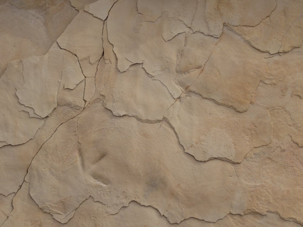
| You can see where these rocks broke from the underside of the section of the canyon wall; they have the same pattern of marks that the underside of the rock face has. |
 |
 |
 |
 |
 |
 |
 |
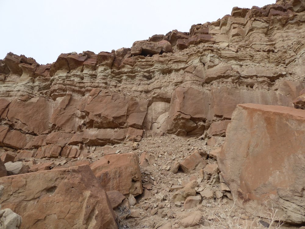
| Each of the lines of rock in this canyon is a different flood event, where one layer was laid down. One of them was six feet thick! it was great to hear Torrey talk about how they got here. The third picture is another (worn) camel track. |
| One last shot of Torrey and the layers of rock Two pictures of the flowing rock where we hiked up into the canyon. Jim, Intrepid Hiker Two pretty rocks |
 |
 |
 |
 |
 |
 |
 |
 |
 |
 |
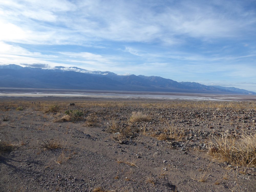
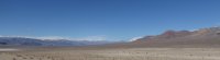
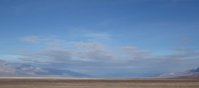
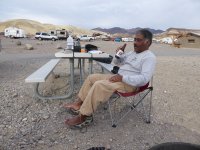
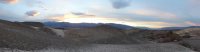
| Two views of the valley in the day, with cloud cover; me and my favorite ranger, Ranger Bob; and a moocher coyote we saw as we left Furnace Creek Visitor Center.
Jim and I were trying to decide what to do the rest of the day, and I went looking for Ranger Bob, who is awesome and knows stuff.
Me: So...how about this road to Keane City?
RB: No, it's closed.
Me: Is it part of the Keane Wonder Mine? and is that ever going to open again? I loved that hike...
RB: Well, it's all cleaned up, and we're waiting for an independent agency to test the soil to make sure it's got safe levels of lead and arsenic. Of course, the NPS could test it, but then if we got sued it would look like we fudged the results, so we're getting someone else to do it...so whenever that happens, if they find that the levels are safe, it's good, and if not we have to put a layer of (some kind of mineral) to mask it, and then it'll open.
Me: But not yet.
RB: No, it's imminent, which in NPS talk means anytime in the next three years...
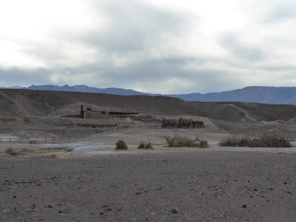
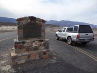
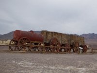
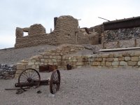
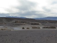
That made me laugh. But at least they're working on it, I haven't hiked it since 2001 or so. We hung out in the parking lot talking to Frank, one of our group who was repacking his old VW Vanagon (with 450K miles on it!) to go off somewhere else exciting. Then we looked at our choices for the rest of the afternoon- hike somewhere, go back to the campsite and chill, or find something else interesting...so we decided to go to the guided tour of the Harmony Borax Works, which (although centrally located) I had not been to since 2004. |
 |
 |
 |
 |
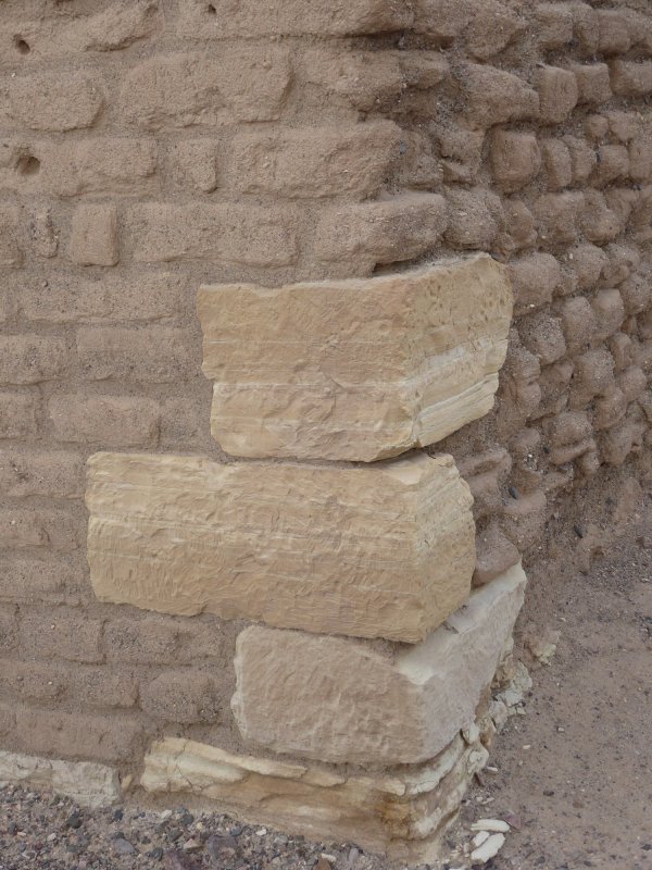
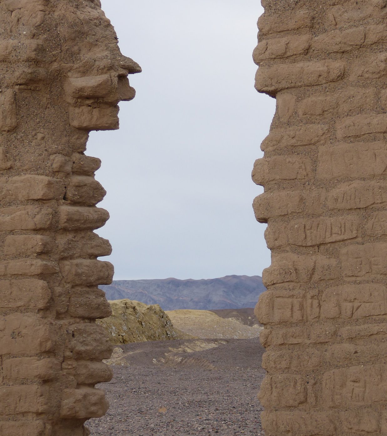
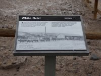
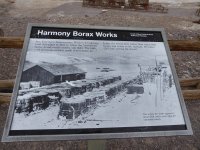
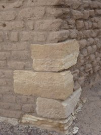
| Two guys owned these borax works (best friends, thus 'Harmony') for the several years it was open...this is the company that began the 20 Mule Team slogan, which, I found out this day, was a brand name that was suggested by none other than Stephen Mather of National Parks Service fame...the ranger giving the tour was succinct and interesting, and afterwards we walked out to the (remains of) the adobe office buildings. |
 |
 |
 |
 |
 |
 |
 |
 |
 |
 |
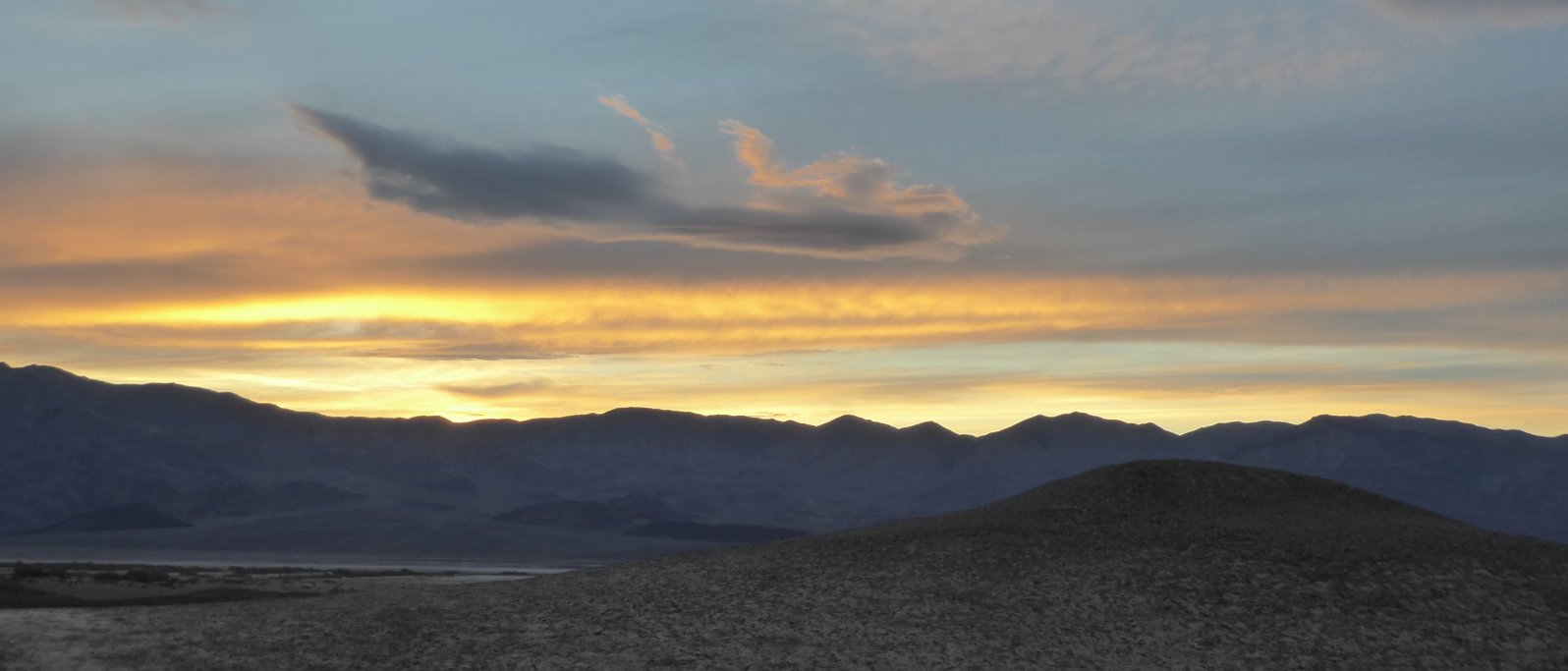
The clouds were pretty amazing that afternoon, and after we got back to the campsite, we chilled out and had a beer. |
 |
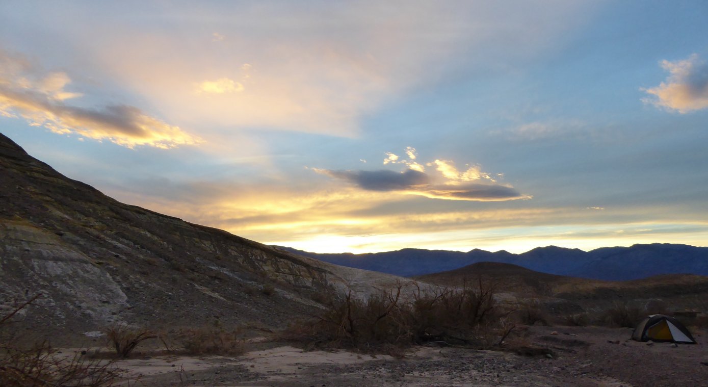
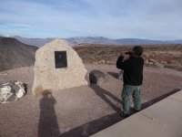
| That evening, before our dinner of microwaved burritos from Furnace Creek General Store, I climbed up on one of the hills in the campground and took pictures of the sunset, and of one of the stone picnic benches that were there as well. |
 |
 |
 |
 |
 |
 |
 |
 |
| Monday |
| We had originally planned to stay til Tuesday, but between not having any more food to eat (because of the broken stove, most of what we brought needed cooking), me wanting to get back to civilization and soak the dirt and gravel out of my wounds, and the weather getting colder and less fun, we left on Monday instead. After all, we said as we discussed it Sunday night and decided to leave early, we'll be back in SIX WEEKS! And we will, and are very excited about it. This coyote was sloping along the road through Panamint Valley, between the Towne Pass grade and Panamint Springs. He was pretty interested when we stopped, until he realized that we weren't going to feed him. Another of his brethren was on the winding road on the way to the Father Crowley overlook...that guy actually came out onto the road and lay on his belly in the middle of the lane going the other way! I stopped and honked my horn at him til he moved, I was terrified someone would come along and hit him! |
 |
 |
 |
 |
 |
 |
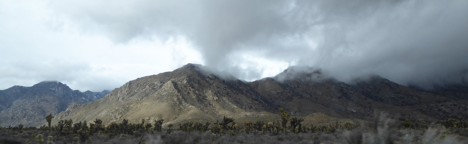
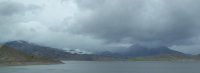
| The Sierra Nevada on the way to and through Olancha, down the 395 and in Walker Pass. It was like this all the way home, cloudy/misty/rainy but beautiful. |
 |
 |
 |
I think that Fremont Sycamore in the pale sepia light is one of my favorite pictures ever. This is really the color it was, I didn't do anything to it, or use a filter. Lake Isabella looking much less calm that it had when we went by five days earlier. The Kern River is pretty wild too! And we went home, with no trouble...and now it's time to start thinking about the next time I get to go back! I'll see you there, I hope! |
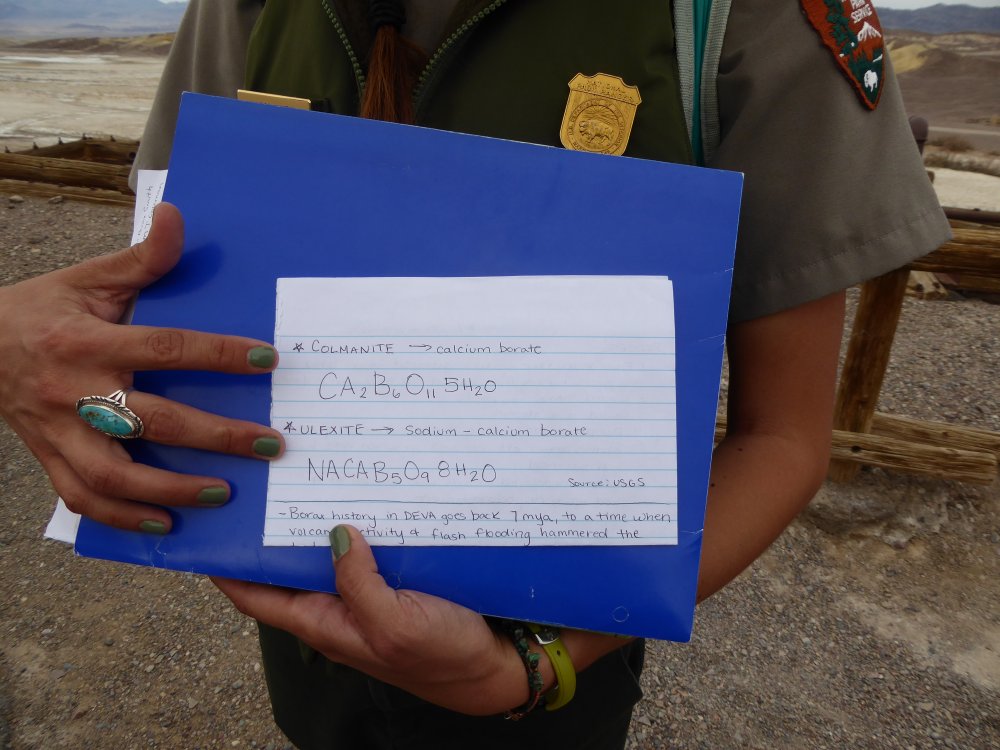
| color="000000">Geneil says: The Death Valley Natural History Association is a nonprofit partner of Death Valley National Park who provide hikes and other tours for a fee, as a mission fulfillment item being able to share treasures like this with the general public since it is permanently closed. Access is only allowed with a guide and special permit which because of our special relationship with the park we are able to obtain.
Here is the DVNHA website. They are also the people who sponsor the SJSU trip that I go along on every March.
|