|
It all started (this time) in November. I sent emails to the people who had come to Death Valley last time, and people talked to
people, and by April we had ten of us ready to roll:
- Me and Doug, from San Jose
- My sister Diana, from LA
- My brother Bill and his wife Signe, from Portland OR
- Jo Nell and Tom, from the Riverside area
- Tom's sister Ellen and her partner Elise, from Seattle
- Our friend Mark, also from LA
Most of us were going to show up on Wednesday and stay til Sunday. The exceptions were me and Doug (staying til Monday), Bill and Signe (Thursday to Wednesday) and Mark (Thursday to Saturday).
And this is how it went.
We all emailed and planned food, things like games and dvds, and talked a bit about what people wanted to do.
Then...it was the night before Doug and I were supposed to leave. Now, on the 2006 and
2007 trips, we had rented Toyota Rav4s. They were wonderful- comfortable, nice to drive, didn't break down and got good mileage.
Unfortunately, Hertz is the only company that rents out Rav4s...and when I reserved one in January, we were going to have to pay almost twice what we paid last year,
and pay for a full week's rental (because we were staying an extra day this time). That was a bit steep, so I also reserved an SUV through
Budget, for a much more reasonable sum, figuring that one or the other would work out.
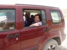
So Tuesday night we showed up at the Budget counter at the San Jose airport at 8 pm, and I showed my reservation. Does it have four wheel drive? I asked. Yes, said the guy
behind the counter. Good, I said, what kind of car is it? A Nissan Pathfinder, he said. Doug and I had a brief discussion, and decided that Nissan was a trustworthy enough brand
for us to trust it not to break down on us in the middle of nowhere.
And we went outside to get it...and it was a HUGE PALACE of an SUV, with all the doodads one could ever ask for. We kept expecting to find a swimming pool or tennis
courts hidden under one of the seats, it was that nice. And of course, it being a Pathfinder, I immediately christened it Natty Bumppo, and that was its name from then on.
And a nice SUV it was too. It got 17 1/2-18 mpg all weekend, no matter what kind of driving we were doing, and we did appreciate that. Fun to drive, either on the freeway or the
worst of washboard roads, and it could seat SEVEN without too much disomfort, which was also very nice.
My goals for the weekend: hike every day, find some new stuff to do, and GET TO MARBLE CANYON, which I had been trying to do for 15 years.
|
|
Wednesday
|
|
Getting there
|
 |
 |
 |
 |
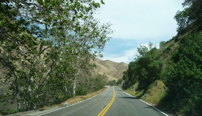
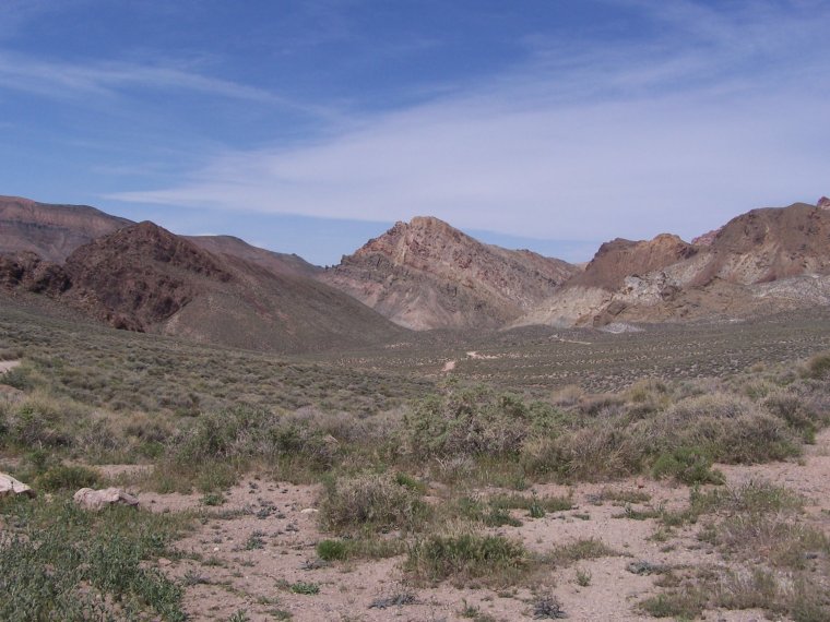
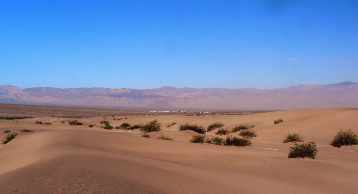
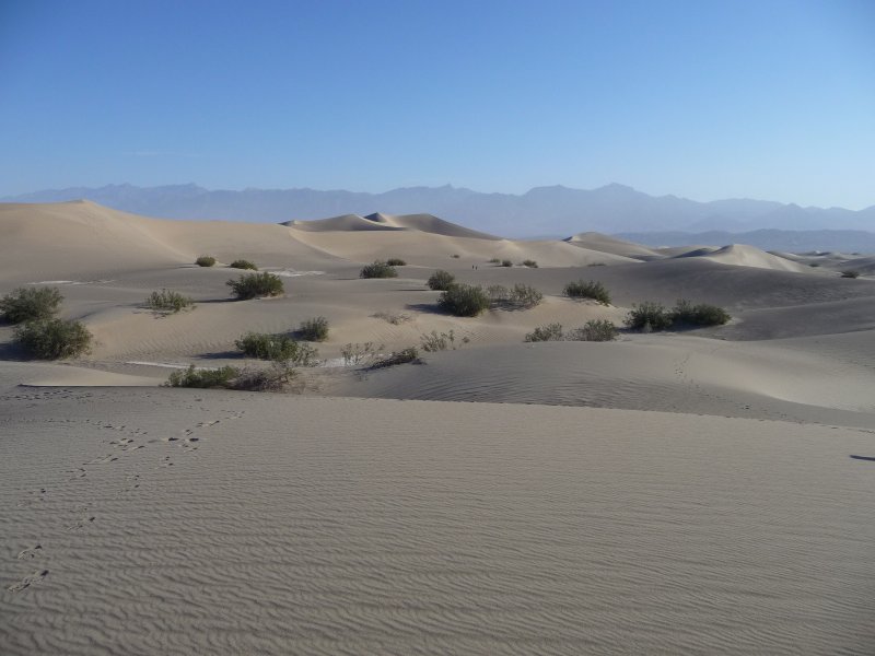
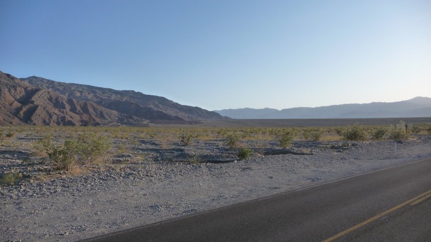
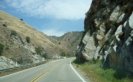
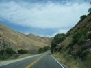
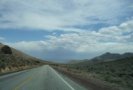
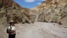
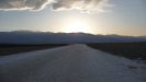
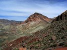
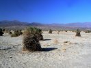
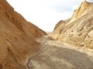
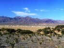
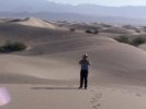
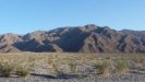
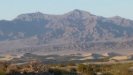
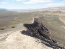
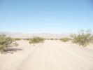
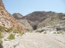
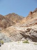
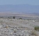
| From San Jose, we drive down to Bakersfield, then turn
east and take the 178 past Lake Isabella, out to the desert. These pictures were taken on that road, with Douglas
driving, to try out my new camera (a Panasonic Lumix) for the first time. |
 |
 |
 |
 |
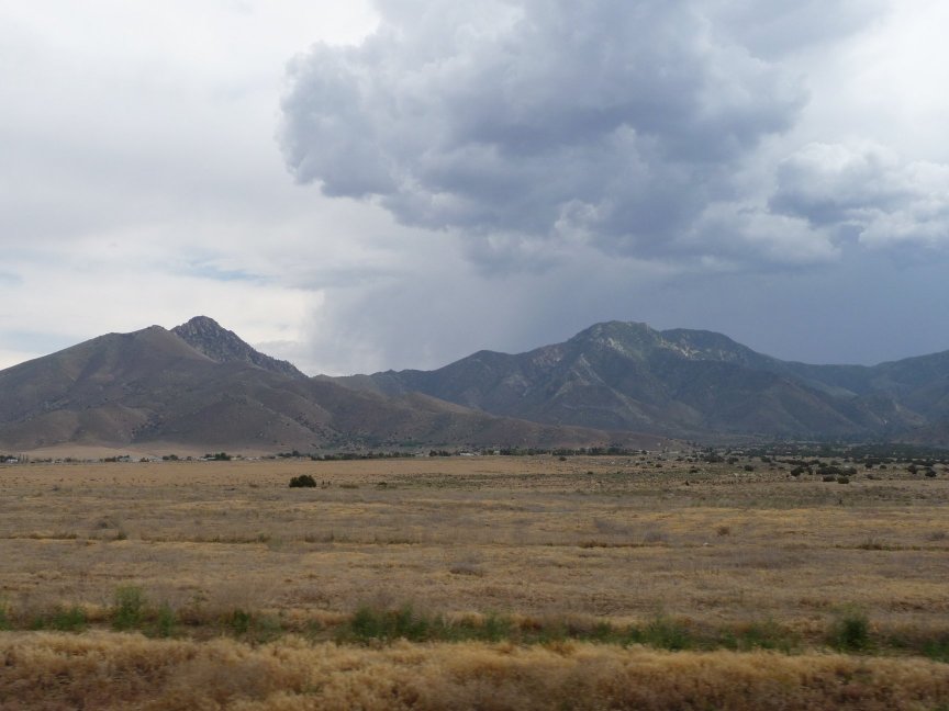
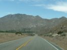
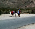
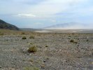
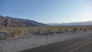
| Uh oh, storm clouds over the desert. Tom and Jo Nell
actually drove through some rain, but we didn't. |
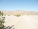
On the other side of the Sierras, heading off to the desert...and the sun comes out! |
 |
 |
 |
 |
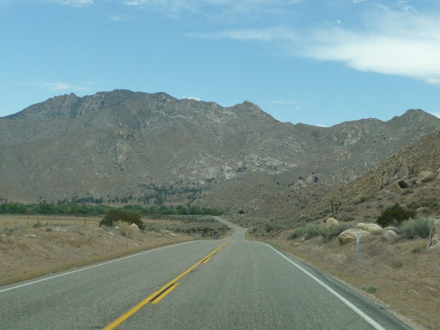
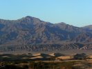
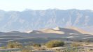
| More clouds and sun... |
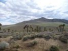
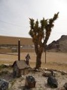
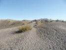
and our first sight of Joshua trees! |
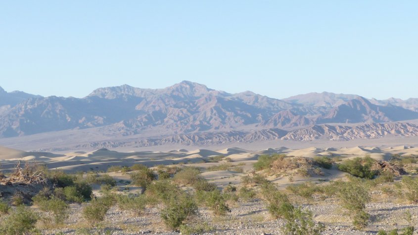
After a very long drive indeed (through Ridgecrest and Trona, then entering the park through Wildrose) we reach
Stovepipe Wells and unpack. It's dinner time! and here's a bunch of food. |
We arrived around 5:30, after Diana passed us on the
road into Wildrose! A car passed us, and just as I said, hey, that's the Catbus, she waved. We stopped and compared routes, but she wanted to go by the 190 rather than the Wildrose entrance
because her car was having problems. This is a pic she took of the Trona road.
|
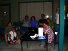
| Once we got there, Jo Nell and Tom were there too, so we all talked for a while, then met in
Diana's room for a late dinner. Around 9:30, we started saying, where are Ellen and Elise (who were flying into Reno
and driving down the 395)?. Jo Nell checked the room that was going to be theirs..and they had arrived five minutes
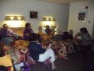
earlier. So of course the party moved to their room, and we all hung out with more food and drinks. Very nice.
|
|
Thursday
|
|
Zabriskie Point to Golden Canyon
|
 |
 |
 |
 |
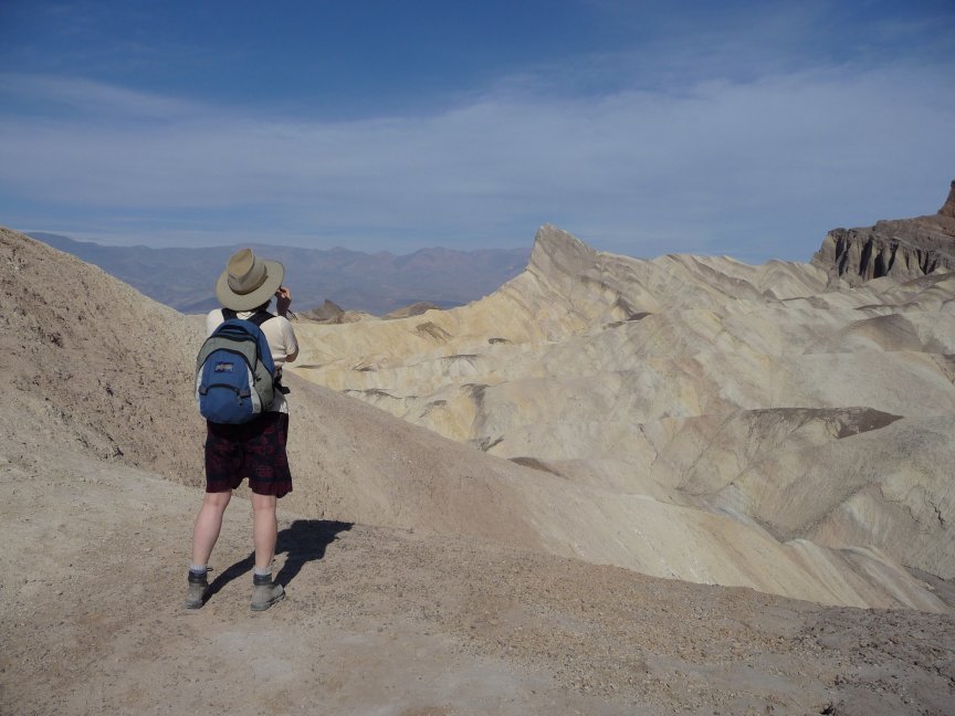
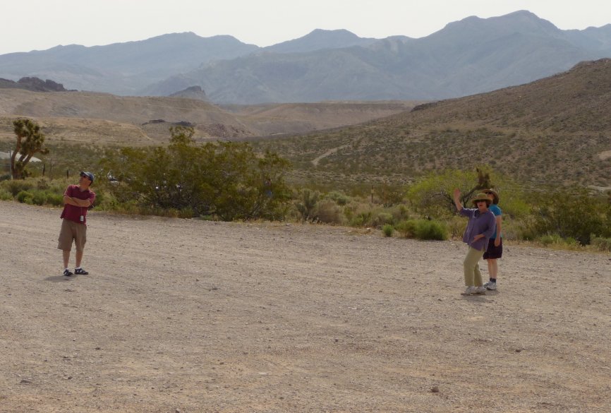
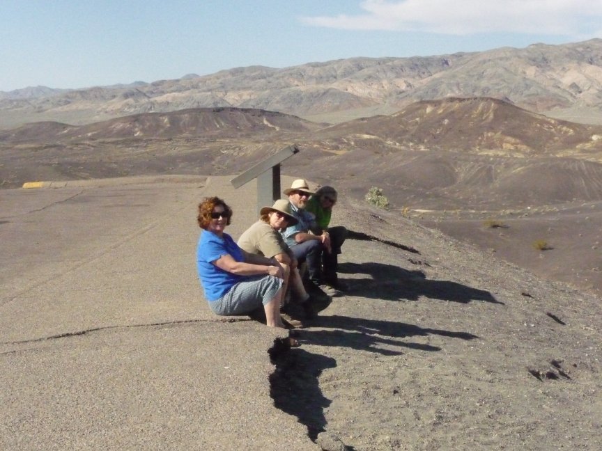
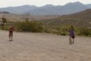
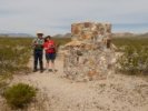
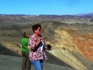
| EXTREMELY OFFENSIVE HAND GESTURES. At 8 am, no less. Imagine that.
Jo Nell, Diana, Tom, Ellen and Elise. |
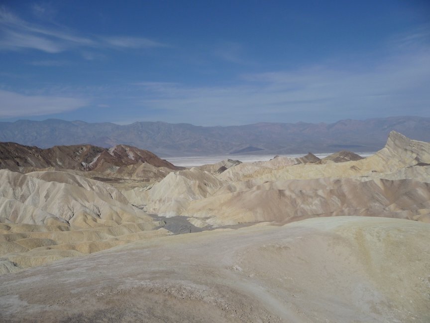
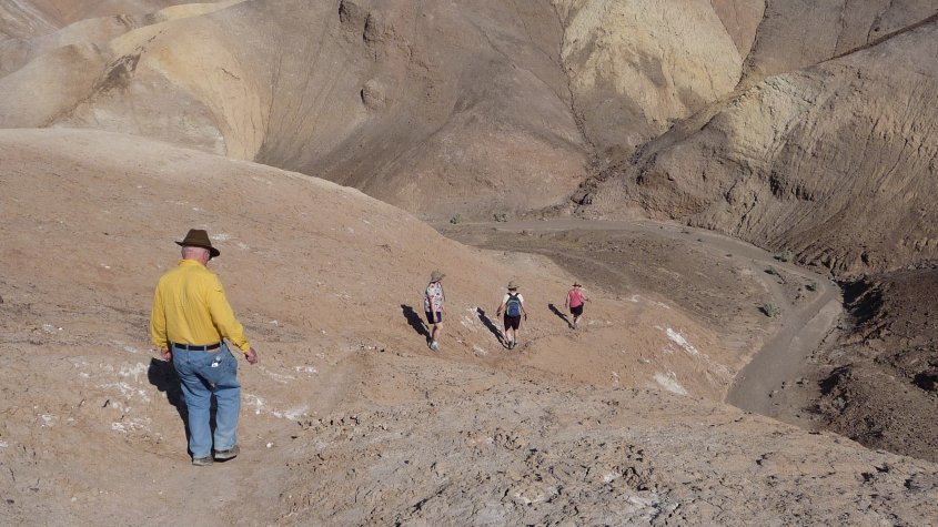
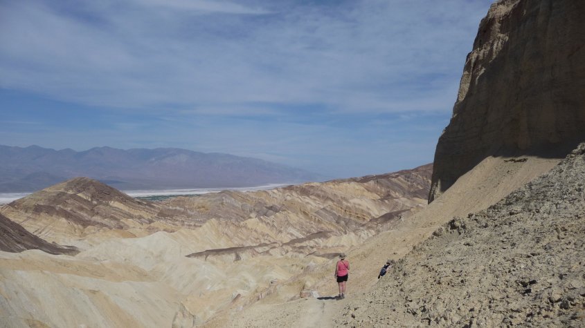
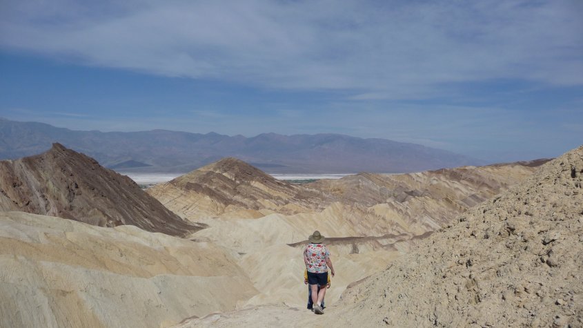
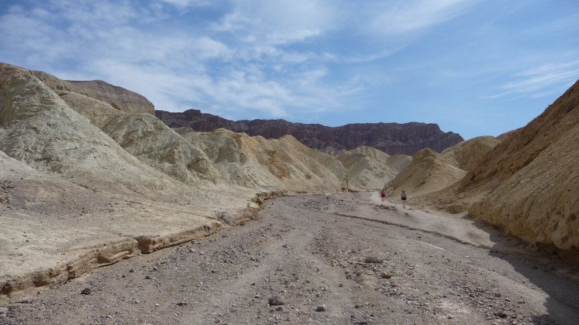
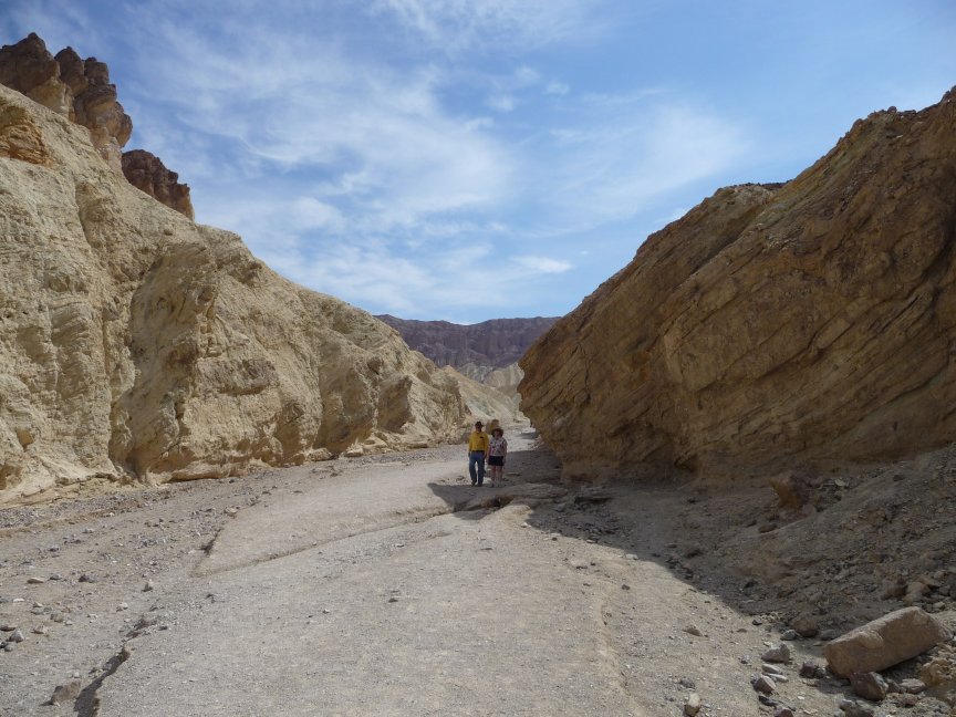
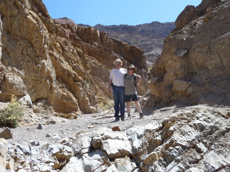
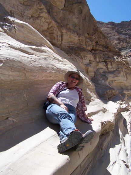
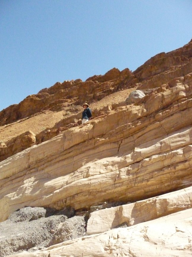
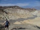
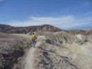
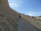
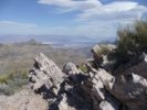
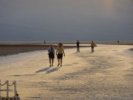
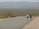
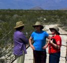
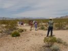
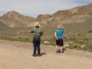
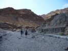
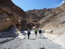
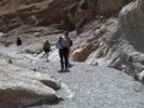
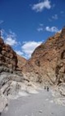
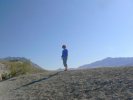
We got up early to hike from Zabriskie Point down to Golden Canyon, DOWN being the operative word. Here we are at Z Point. |
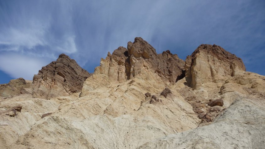
Looking out over Manly Beacon and the Red Cathedral, both of which we'll soon be crossing. |
And looking down the canyons. Which seem to be unshaded and very sunny. Which is why
we got up so early to hike this part. |
 |
 |
 |
 |
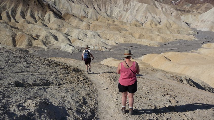
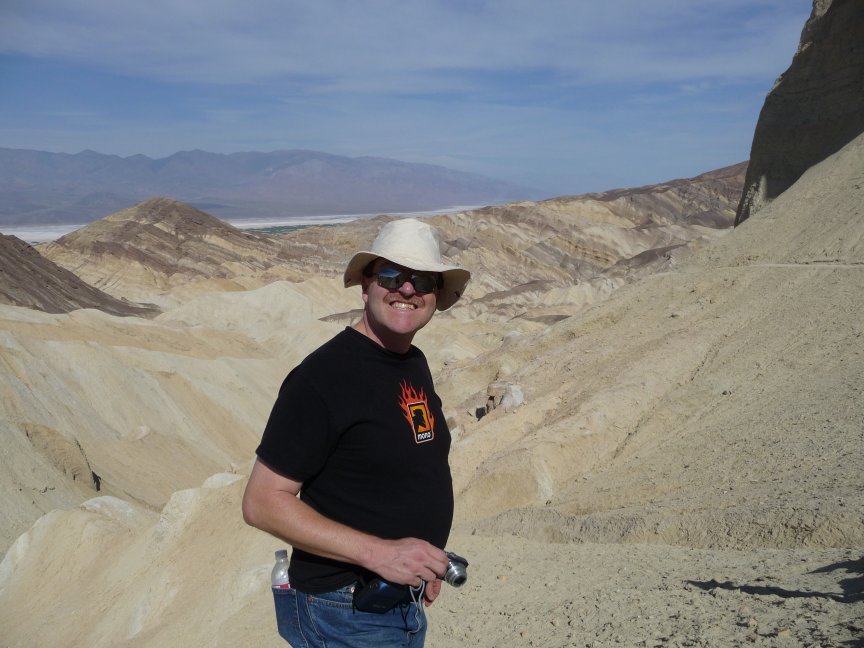
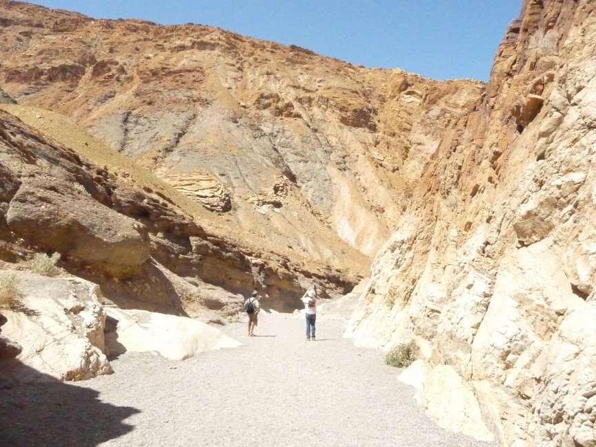
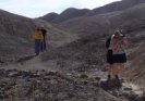
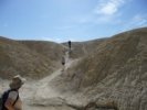
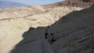
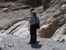
| Because as beautiful as it is, it's also dry and dusty and hot. Fine for me, but not for all. |
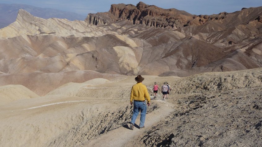
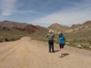
Tom took this, Ellen and I are in the lead right now. |
We're heading toward the dark gray wash... |
and on this part of the trail, all you have to do is go downwards and to the right. Very simple. |
| A WORD ABOUT PHOTOS
Most of the photos (about 2/3) on this page are pictures I took. Tom, Mark and Jo Nell gave me theirs as well, and I integrated
them into the whole. I'll give credit for them where easy/appropriate, and of course if I'm in the picture, it's almost a
sure thing that one of them took it. You can also mouse over the picture and check the filename at the bottom of your browser-
if Tom took it, the picture name has a t just before the .jpg, if Jo Nell took it the picture name has a j. Mark = m, Diana = d, Bill = b.
Now back to our hike, already in progress.
|
 |
 |
 |
 |
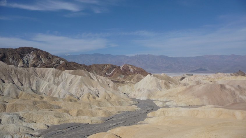
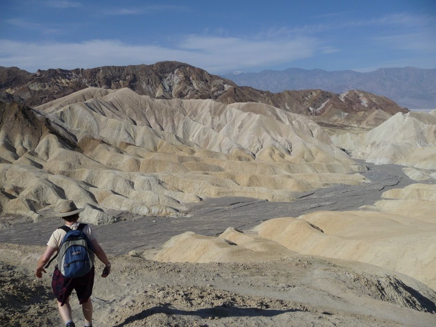
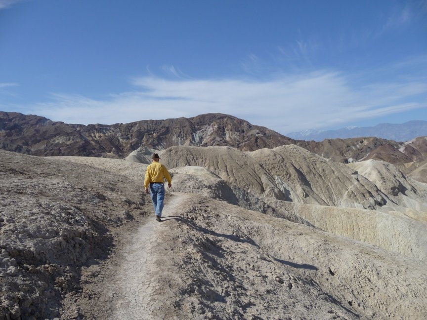
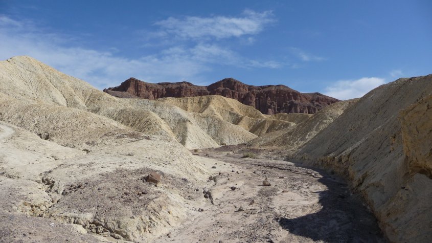
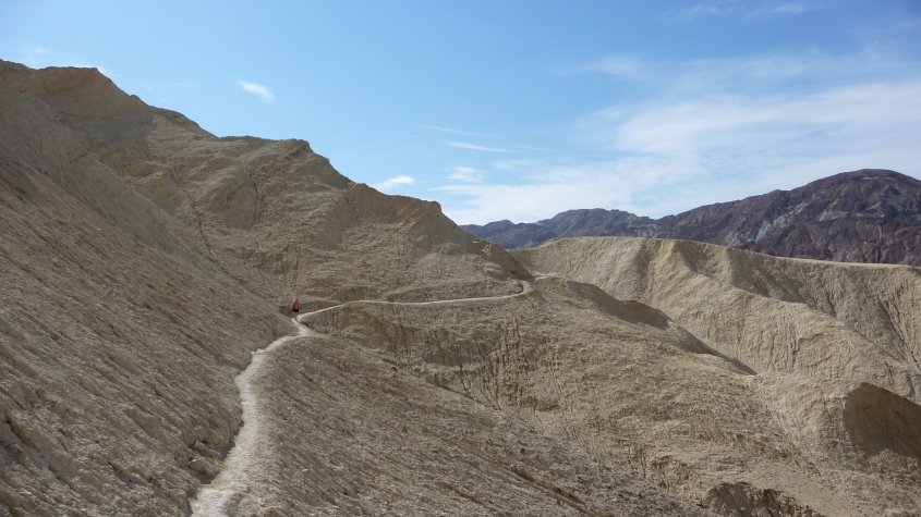
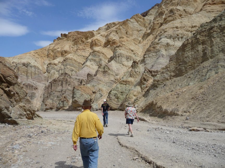
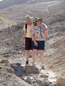
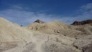
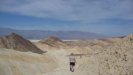
| And down the trail we go...there's a reason why we take two cars and leave one at the other end of the trail before
driving up to Zabriskie, this is a much better hike DOWNHILL. A couple of sister-in-law moments, and a lovely shot from Tom of the many-colored hills. |
 |
 |
 |
 |
 |
 |
 |
 |
 |
 |
 |
 |
 |
 |
 |
 |
 |
 |
 |
 |
 |
 |
 |
 |
 |
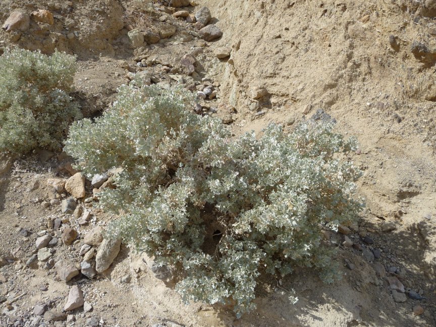
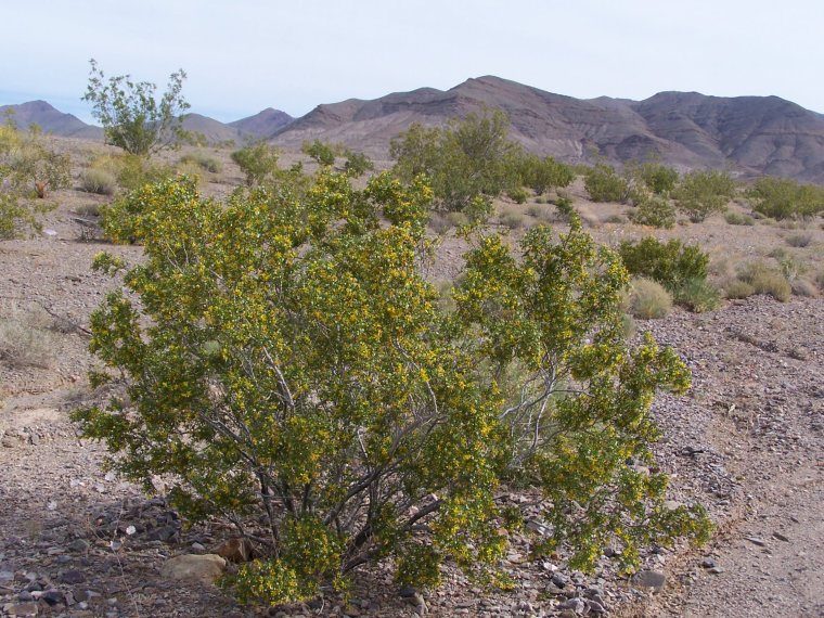
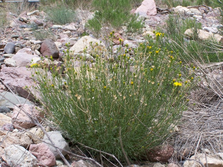
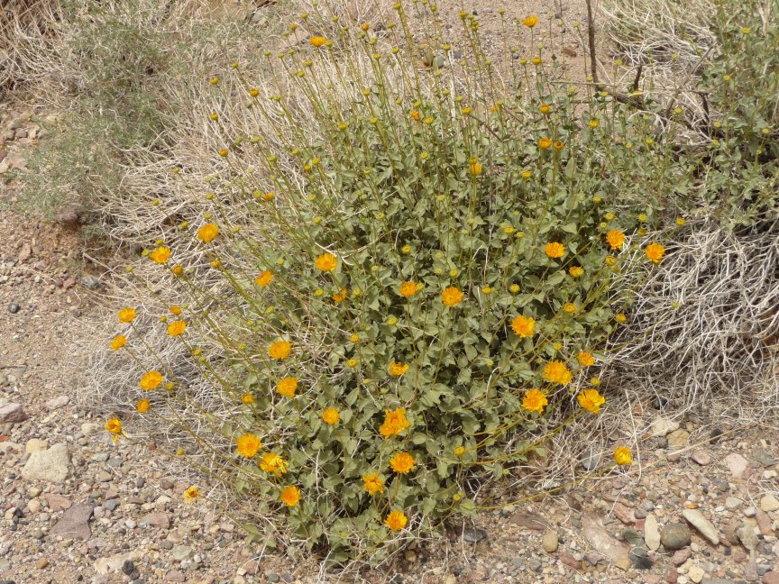
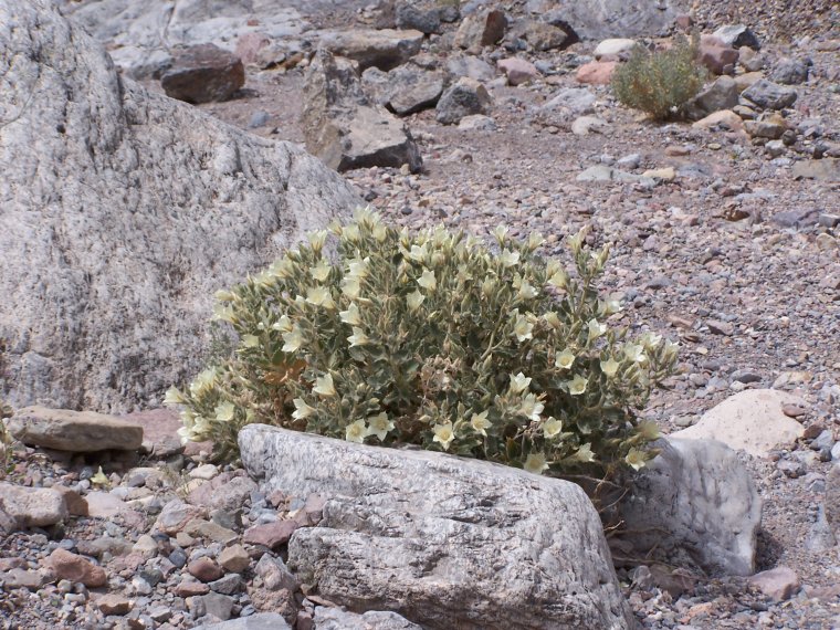
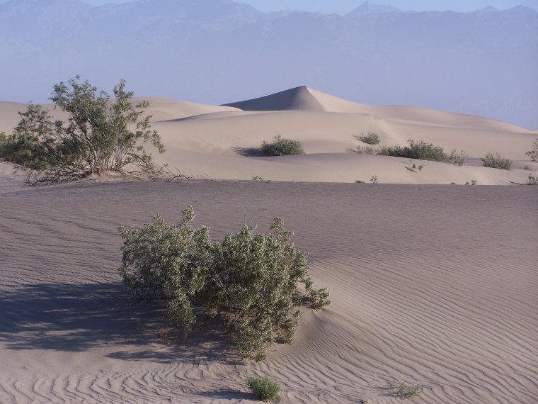
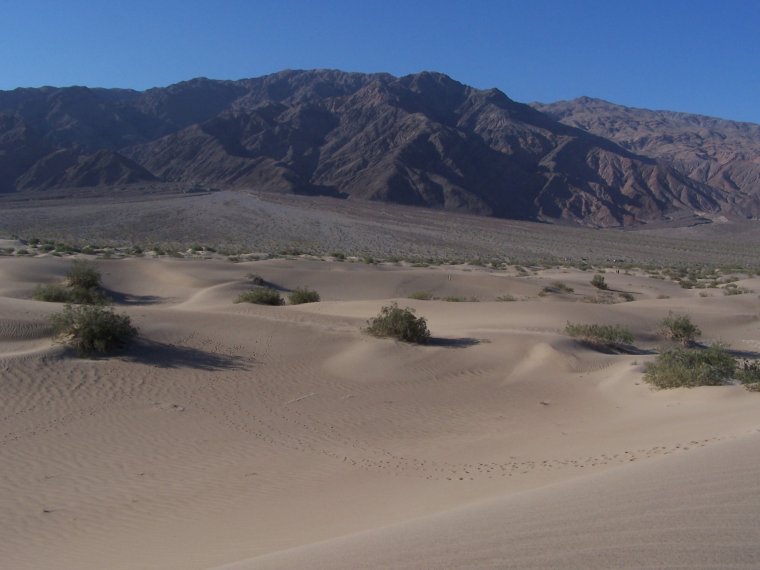
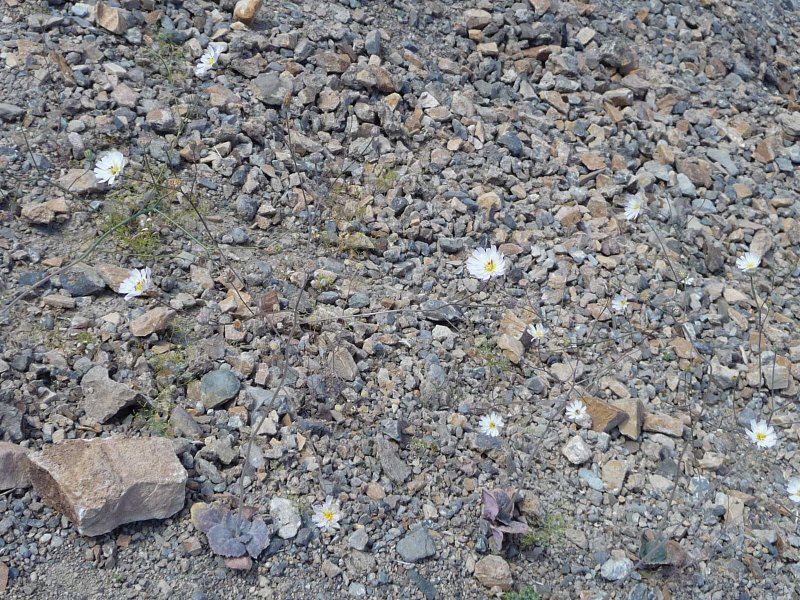
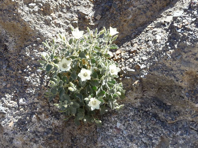
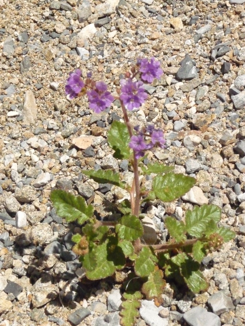
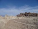
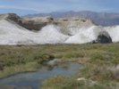
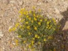
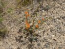
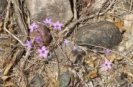
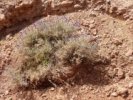
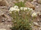
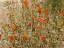
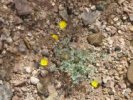
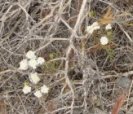
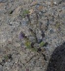
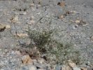
And here is the first of the vegetative shots...it's Death Valley in
April, and the wildflowers are blooming. We are there at the end of the season, but we still saw plenty of pretty stuff, as
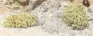
you will see. This is Desert Holly. |
 |
 |
 |
 |
 |
 |
 |
 |
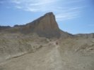
| And we bid a fond farewell to our first hike of the weekend. |
|
Salt Creek
|
| We stopped by the Furnace Creek Ranger's Station to pay our
entrance fees and (of course) check out the gift shop. I found two good books on DV hikes in the gift store, both of
which I used to excellent effect on this trip.
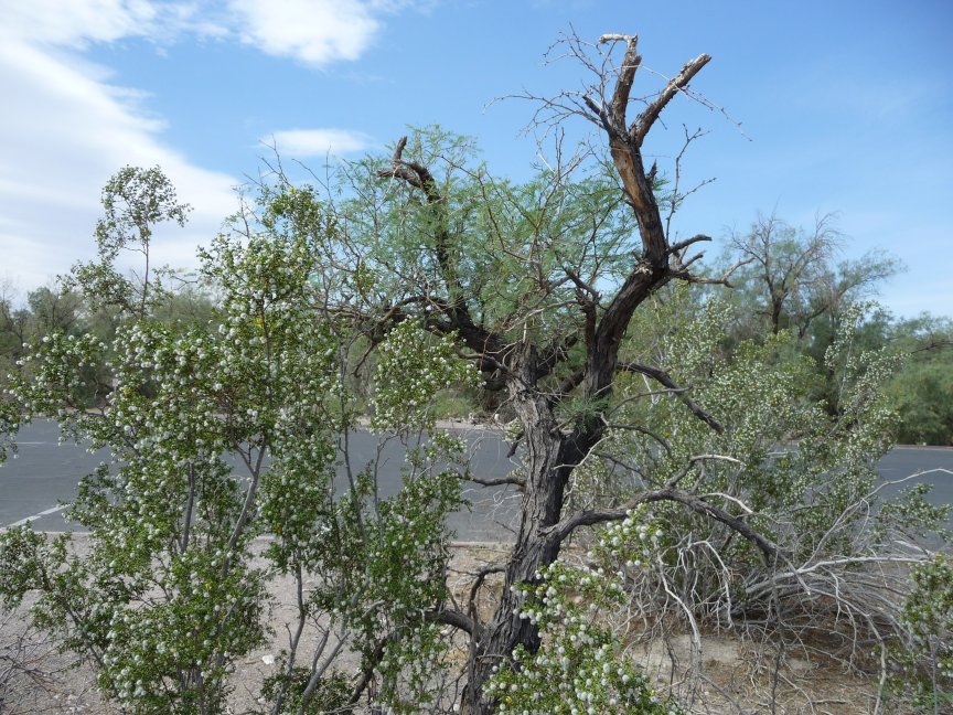
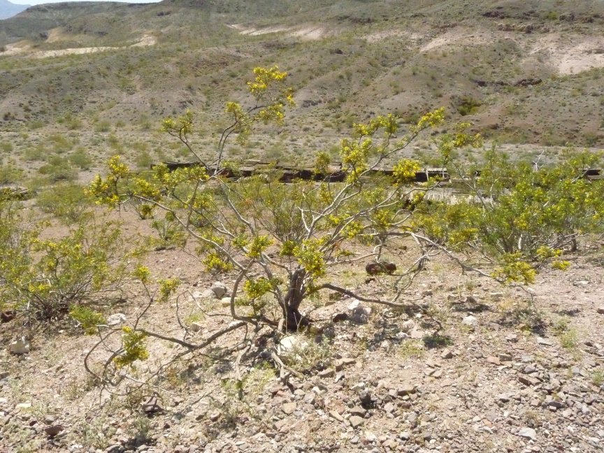
We also saw this tree out front, and forgot to ask the rangers what kind of tree it was. I thought maybe manzanita, Bill was
holding out for tamarisk...but no. Turns out that after creosote bushes flower with those beautiful little yellow flowers, they get
little fuzzy white seed pods all over them...and here is a good example. |
 |
 |
 |
 |
 |
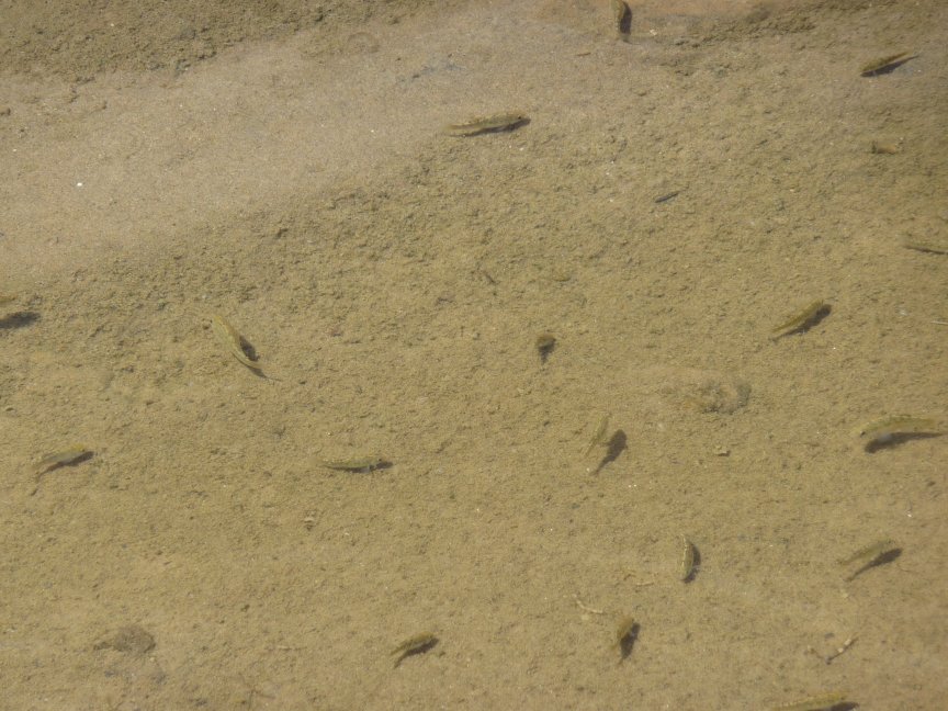
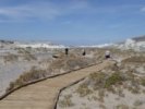
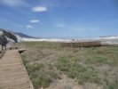
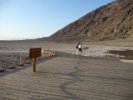
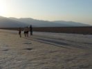
| Then Doug and I left to stop by Salt Creek and see the pupfish, which
hibernate in the mud and come out for six weeks in the spring when there is water there. Jo Nell, Tom and Ellen followed us, and here they are going
along the boardwalk toward the creek. They turned back before getting to the back part of the creek...smart move. |
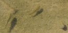
Here's actual running (very salty) water, in Death Valley... |
and here are the pupfish! way more of them than we saw on the 2006 trip, and
running around like crazy, mostly the males chasing the females. |
 |
 |
 |
 |
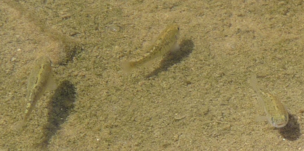
| These are the brown spotted females... |
and here's the blue-green male. |
Here's another male, although he's not blue-green...more sort of mustard colored plumage... |
I love this, all the green watery lush marsh, against the bare dry hills. Wow. |
 |
 |
 |
 |
| Death Valley: Land of Contrasts |
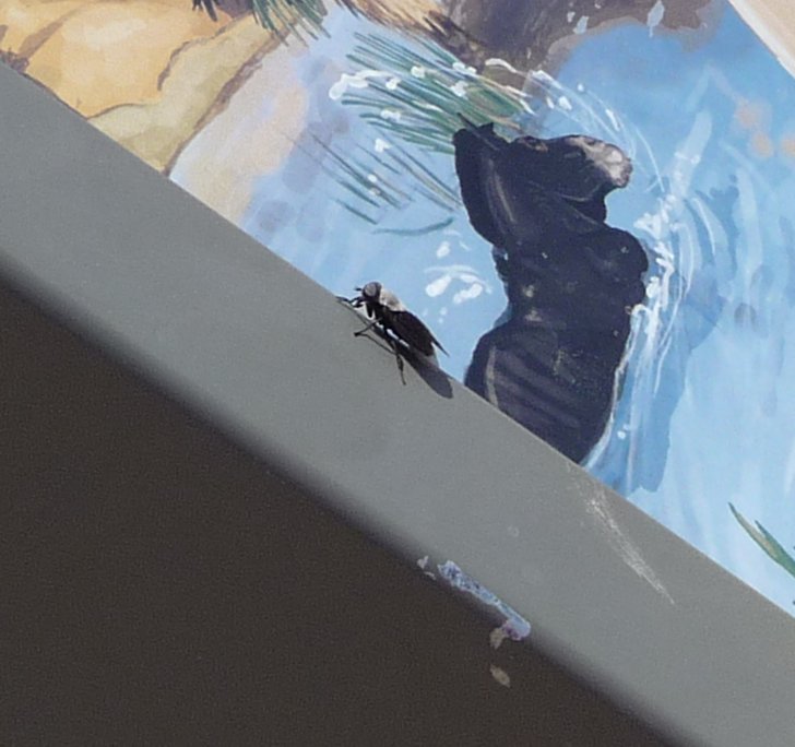
Of course, the fish weren't the only living thing there. The zebra lizards were hiding, but the HORSEFLIES were out in force, here's one fella that
dive-bombed me for fifteen minutes. Oh, and of course there were mosquitoes, who must have been starving for redhead, because they feasted on the backs of my legs. Yes, I managed to get mosquito bites in DEATH VALLEY.
Only me. |
More boardwalk and landscape. |
Diana shows off a pathetic black beetle that she evicted from her
room.
The evening of the day she left, I saw the guy who had taken over her room open the door, throw out a black beetle he had caught in a cup, and slam the door shut. Probably the same one back again. Made me laugh.
|
|
Wildrose and Aguereberry Point
|
 |
 |
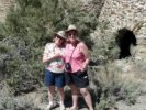
 |
 |
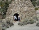
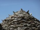
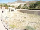
| Elise and Jo Nell in one of the big charcoal kilns |
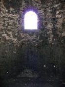
A kiln from the inside |
Spiky rocks on top |
The outside, with cool rock patterns |
 |
 |
 |
 |
| The whole row of kilns, 10 in all |
Me and Nellie. |
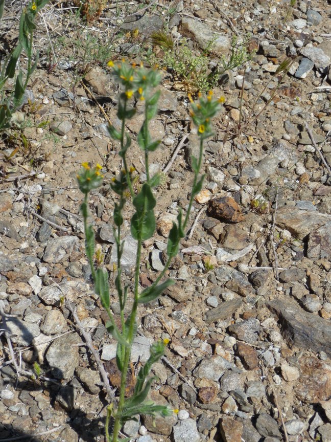
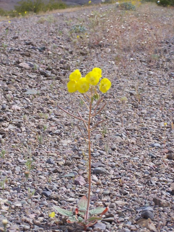
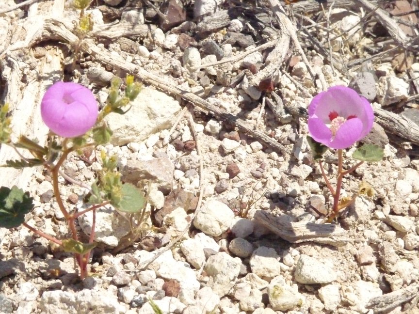
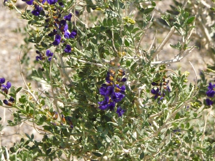
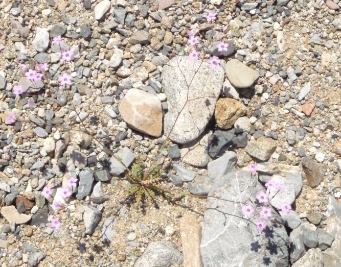
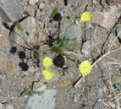
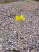
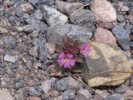
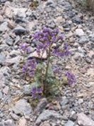
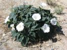
Wildflower stop! Devil's Lettuce |
(and here I pull out my flower guide,
because this is the first of many I didn't see last time...) This is Box Thorn |
| CONFESSION TIME: So I have this new camera, the Lumix. And it's taking
pretty good pics. Except for one thing: in bright sunlight (nearly all the time in DV) I CANNOT SEE A THING IN THE DISPLAY ON THE BACK. This is
a major fault in a camera and is making me very unhappy. Some of the next few flower pics are a bit blurry becuase I was having to focus by guess.
Then the light bulb went off in my head: it was my POLOROID SUNGLASSES. When I looked over the tops of them, the readout on the
camera was JUST FINE. Sigh.
So pardon the not-as-crisp-as-they-could-be flowers, they get better soon.
|
 |
 |
 |
 |
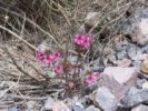
| So here is one of the slightly
blurry ones. But as far as I can tell, this is King's Sandwort. |
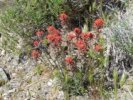
Indian Paintbrush (aka Desert Paintbrush, for the PC) |
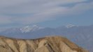
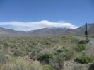
Looking back on the south end of the Panamints, which are still snowy. They just removed the 'ice axes and crampons' warning
from the Telescope Peak trail the week we arrived. |
Desert Pincushion |
 |
 |
 |
 |
| Utah agave, fairly rare to see it bloom (or nearly). |
Broad-flowered gilia |
Yellow Saucers. I do so love these flower names! |
Small Flowered Blazing Stars, with one (I think) Chinchweed in the top left. |
 |
 |
 |
 |
|
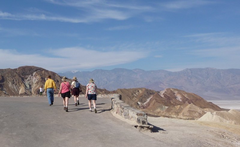
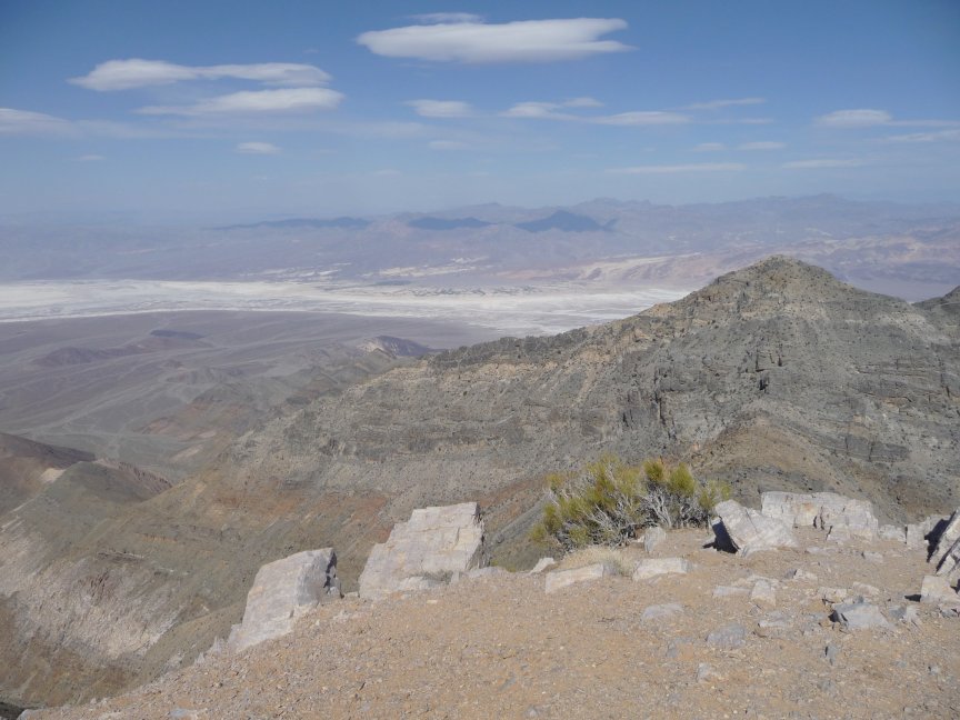
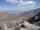
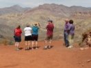
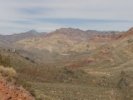
Aguereberry point. 6700 feet up, looking down on the valley that is below sea level. A 9 mile not-too-bad washboard road leads to the edge
of the hills, at which point one drives up a very narrow and twisty short road that leads to the vista point...where we found a FOURTEEN FOOT
UHAUL MOVING VAN that was carrying the effects of two vanloads of UCSB students who were making a geology camping tour of the southwest. HOW ON EARTH did they get it up, and
more importantly, DOWN from there? amazing.
|
|
 |
 |
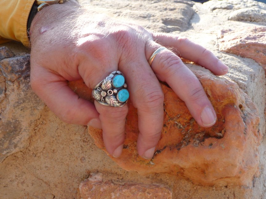
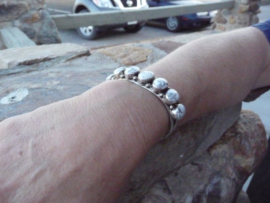
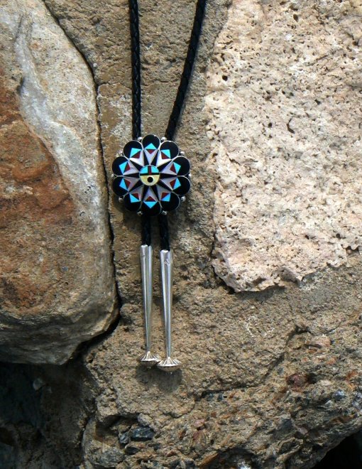
LOOK AT YOUR OWN RISK.
We got back from Aguereberry point, and Doug met me
in front of our room. Come with me, he said, there's a ring in the gift shop I want your opinion on.
The gift shop had all kinds of pawn jewelry, and a lot of it was really nice. He showed me the ring. I think it's beautiful, looks
great on you and the price is excellent, I said. So he got it.
AND OVER THE COURSE OF THE NEXT FEW DAYS, MOST OF US HAD
TO GO GET OUR OWN PAWN JEWELRY.
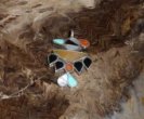
Signe got the turquoise bracelet with the corn maiden. Ellen got the white agate bracelet. I finally broke down and
got the gorgeous woodpecker pendant that I admired for three days. And when we left, Bill was planning to get a bolo tie slide...here it is, along with the
turquoise earrings Signe got for her daughter Rhiannah. Insidious stuff, this pawn jewelry...
So look at your own risk; you may get the urge for pawn jewelry too... |
 |
 |
 |
|
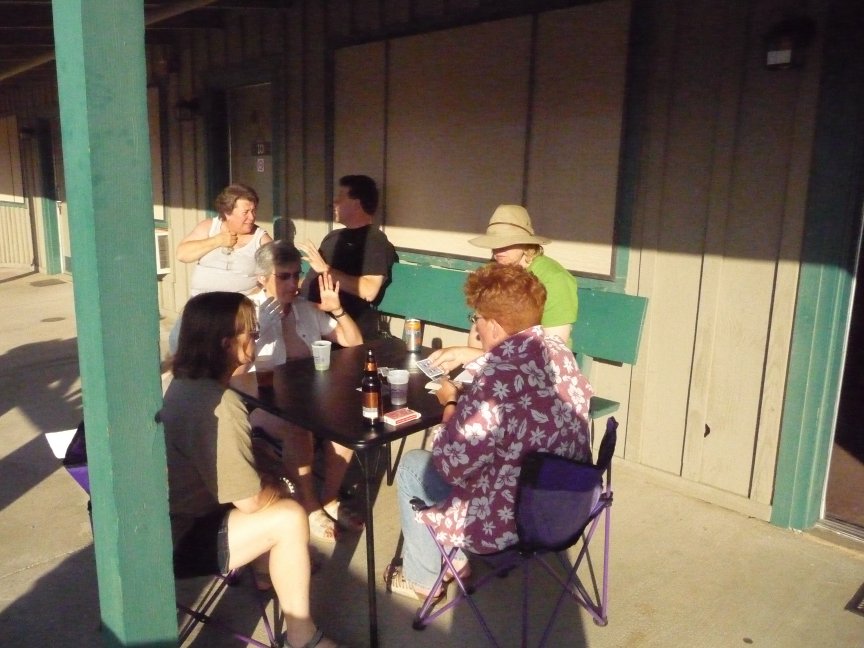
After the ring purchase, happy hour commenced. Ellen is quite a mixologist, and Tom had brought many varieties of alcohol
and mixers. The margaritas, caipirinhas, and G&Ts flowed. Not to mention wine and beer. For some reason, Happy Hour took place in our (my and Doug's) room...which was very fun.
Although more and more bottles of stuff found their way to our one desk, which is one of the reasons Doug worked in the 'card room'. Because a week before we left on this trip,
Doug's editors for one of his books moved his deadline, for a complete rewrite from scratch, to three weeks after the DV trip
was over. Which meant that at least half of every day,
he hid in the card room with the laptop and worked on this book. That's dedication, and I sure couldn't have done it. On the other hand, Stovepipe Wells (which has no cell phone
service at all) now has wireless, albeit slow and horse-drawn wireless...you can get on the internet or check your email, but it's not fast. But it made the writing easier, I guess.
Anyway. Our room became party central, and of course this otter loved that. We talked about the evening, and the perennial question, Where to catch the sunset?
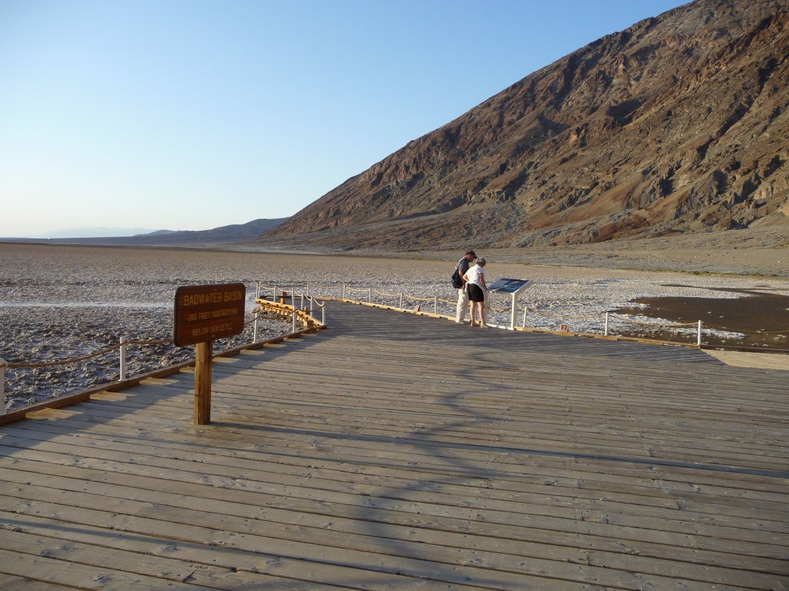
We decided to take the newbies to Artist's Palette for the sunset, and to hit Badwater first (one of the famous things you have to see when you come to DV) and have dinner afterwards.
So that's what we did.
|
|
Badwater and Artist's Palette
|
|
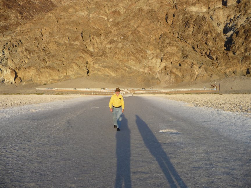
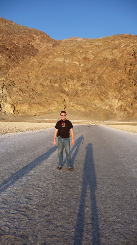
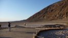
Badwater is the lowest point in the continental US, 282 feet below sea level, and has cool salt flats and a pool of
salty water with pickleweed and stuff.
|
 |
 |
 |
 |
| Diana with glow, caught by Mark. |
Mark and Ellen going to check out the bad water... |
and they're looking... |
and yes, it is bad. Bad, bad water! |
 |
 |
 |
 |
| Various people took various pictures of us wandering around
Badwater and the salt flats. |
 |
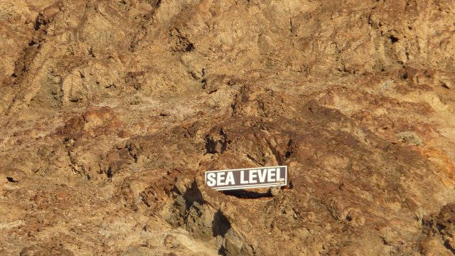
On the left is a pic of
the hills behind Badwater...if you look closely, you can see a little
white sign halfway up
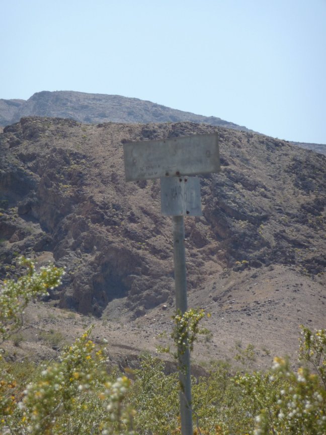
the hillside, above Ellen and Elise's heads. On the right is what the sign says... |
 |
 |
 |
 |
 |
 |
 |
 |
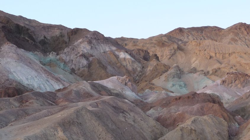
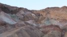
So then we piled back into the cars and drove north to Artist's Drive, a 7 mile loop with the entrance to the
Artist's Palette about halfway along. For the amusing story about the sign that is no longer there, see the 2006 trip narrative.
|
|
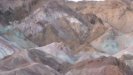
This is a beautiful bunch of hills, of all different colors because of the minerals in the rocks, well worth seeing at any time. Sunset here is
often very nice, and we were ready for it. |
 |
 |
 |
 |
| Beautiful colored hills... |
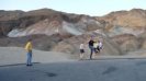
And now the chorus line starts. |
High kicks, everyone! |
 |
 |
 |
 |
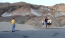
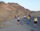
| Wandering around looking at the pretty hills. |
No! No picture of me! Anathema! Anathema! |
Oh, okay, if you want. |
The sun is going down... |
|
 |
 |
 |
| NO! NOT...THE BATHROOM!
I actually didn't know I had taken this picture, but hey, if the embarassing picture shows up, use it... |
Nellie taking pics on top of the hill. |
A nice man who we had met several times today asked me
to take his picture and then offered to take ours. |
More hanging around.
This was all only about 15 minutes, really. |
 |
 |
 |
 |
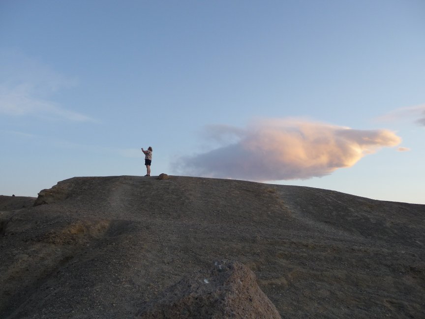
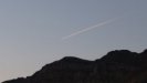
| Pretty sunset. |
A good picture of Mark and the whale-shaped cloud. |
Tom catches me taking the good picture of Mark. |
And more pretty sunset, thanks to Tom. |
 |
 |
 |
 |
| He also caught this contrail, turning sunset colors. |
But you know, sunset is always a crapshoot... |
And this is probably as good as it's going to get...and we haven't had dinner yet... |
Okay, let's go. |
 |
 |
 |
 |
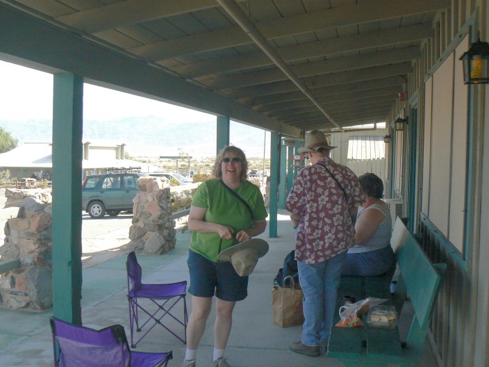
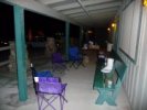
| Three of our five rooms fronted on this patio, and we OWNED it. This is
our dinner setup...
|
with our table full of great food,
spilling over onto the ice chest. Not to mention the drinks. And cookies. |
After dinner, starwatching. It was the new moon, and the stars were gorgeous. |
And after I blinded the starwatchers with this picture, they told me to get the heck away from them. Fine. |
|
EXTREMELY FRIGHTENING GRAPHIC CARNIVORE DEPICTION.
Not for the fainthearted. |
|
Friday
|
|
Rhyolite
|
 |
 |
Thursday night, after dinner, we all talked about what to do today, the only day that all ten of us were going to be together. We wanted the DV newbies to
do one of the major activities (Titus Canyon or the Racetrack) that would also show them a lot of what DV is about, and it was
decided to go to Rhyolite, then drive through Titus Canyon, and
to visit the Stagecoach restaurant and casino in Beatty NV (about forty miles from DV) for dinner. Let's go!
|
|
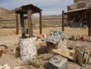
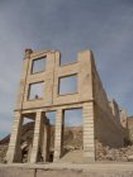
Rhyolite is a favorite stop in Death Valley. Not only is it an authentic ghost town (10,000 people lived there in 1910) but there are some pretty
interesting parts of buildings left. It's out among the flowers and rocks and deserty stuff, there's a bottle house, and there's also an artist's colony. Oh, and the
graveyard, Bill and Signe found that the last time and it sounded great.
|
 |
 |
 |
 |
| Tobacco-weed, aka Gravel Ghost. What an appropriate name. |
For pics of the bottle house, you can go to the 2006 trip page. This is the village that one of the caretakers (Rhyolite is on BLM land, so
there's always someone there, but not a ranger) built for his kids. Usually the sun is so bright on it that it's hard to get good pics of it...this day was overcast, and cooler than
the weather had been for a couple of days. |
 |
 |
 |
 |
| One more pic of the village with a nice Joshua tree. |
Mark's pic of Signe playing with hardware. |
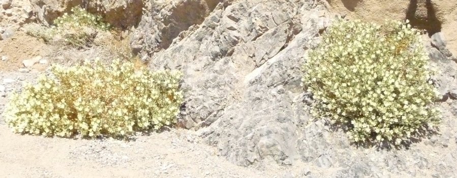
A beautiful blooming beavertail cactus |
And this is the landscape. |
 |
 |
Bill's pics of the bottle house, a wierd hardware thingy and a group of us walk on, engrossed in conversation and silliness. |
 |
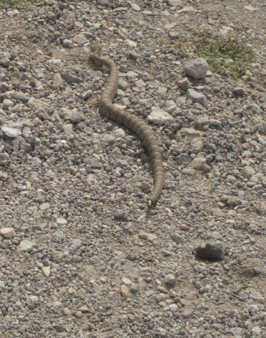
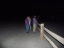
| So we're walking around Rhyolite, and my brother comes up to me.
You should thank me, he said. For what? asked I. For saving your husband's life, he said. Evidently there had been a rattlesnake that
Doug did not see. My response? DID YOU GET A PICTURE OF IT?
He, expecting abject gratitude, was nonplussed. No, he said, I was too busy SAVING your husband's LIFE.
Sheesh, I said, or words to that effect, if he's wandering around the desert and not looking out for rattlesnakes he dserves what he gets. Sorry I missed the snake, though.
Then, a week after the trip, Mark sent his pics. Not only is there one of Doug and Bill, engrossed in conversation, moments before the Wild Snake Scare...but he GOT A GREAT PIC OF THE SNAKE.
Thank you, Mark!
Doug's comment? "I need a better wife..." |
 |
 |
 |
 |
 |
 |
| Old buildings with desert coming through them, and a very nice creosote bush.
|
 |
 |
 |
 |
| The 'Say Cheese' of Death Valley: Look Swedish! |
Jo Nell caught this beautiful Desert Primrose |
More great-looking old buildings. |
 |
Slowly they walked away,
sadly shaking their heads at the silliness they were leaving behind...no, actually
Ellen and Elise are leading us downhill to the Artist's Colony.
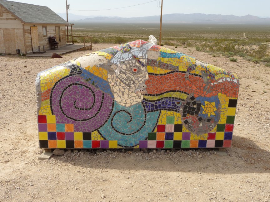
There's some privately owned land here, right across from the Bottle house, and there are open-air artworks, which are always fun. |
 |
 |
 |
 |
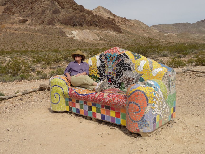
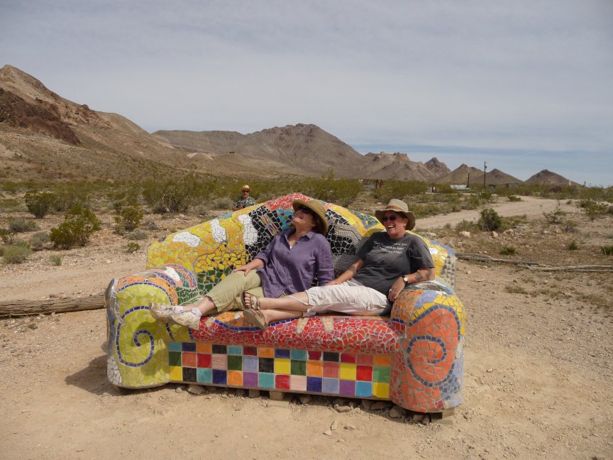
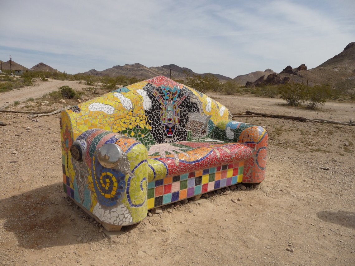
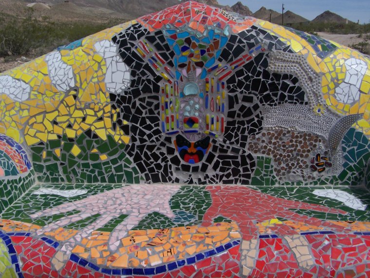
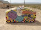
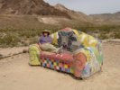
| As many times as we've been here, there's always something new to see. This time, it was THE COUCH. |
Oh man, how beautiful. I'd take it home so fast. But Signe is on it... |
and I join her. Look Swedish! |
Doug: It's my turn! Jo: No!!! |
 |
 |
 |
 |
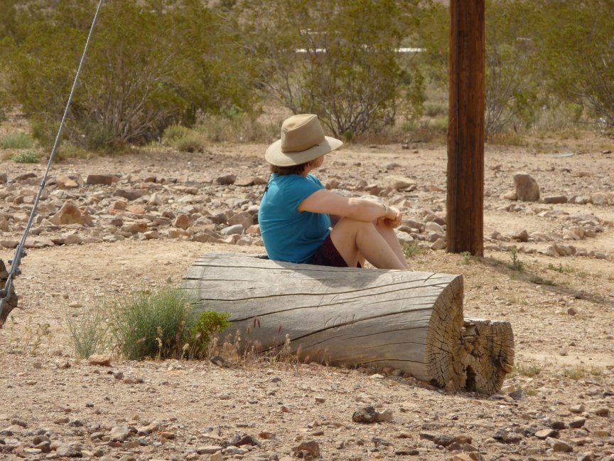
| Mine! |
Okay, I'll share. Great author picture... |
What a labor of love. And so beautiful! |
Okay, one more picture and move on. |
 |
|
 |
 |
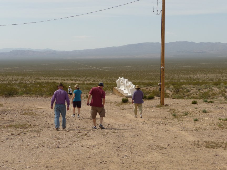
| Walking down to see more cool stuff... |
NAKED WOMAN SCULPTURE |
Ellen has a quiet moment... |
and is joined by Elise. |
 |
 |
 |
 |
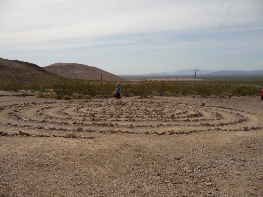
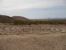
| Ellen is walking the whole spiral. Of course, Jo Nell just
cut through the middle of it. |
The guys hanging out by the Ghosts' Last Supper |
Ellen is almost in the middle... |
Jo Nell couldn't resist the ghost and the bicycle. |
 |
 |
 |
 |
| The Kymerica.com plaque. They rewrite US history to include the Cthulhu stuff and leave historical plaques in
different places. Very cool. |
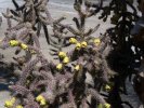
Blooming Beavertail cactus |
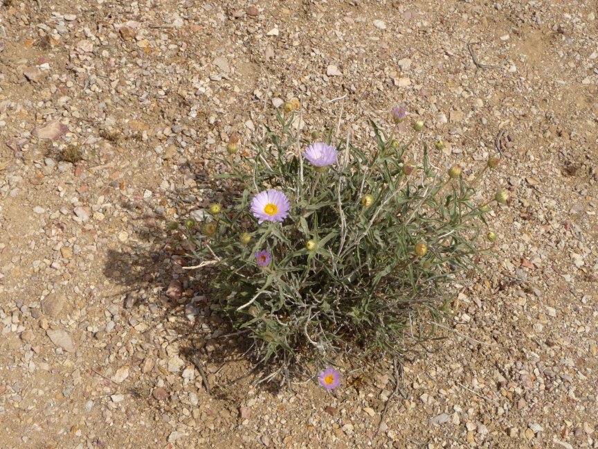
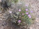
Mojave Asters. These things were EVERYWHERE. |
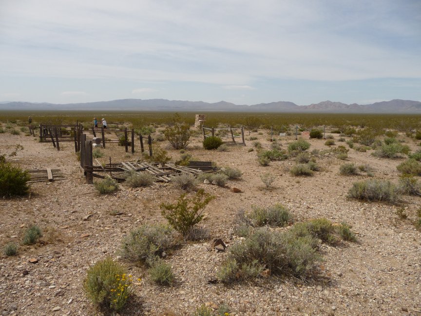
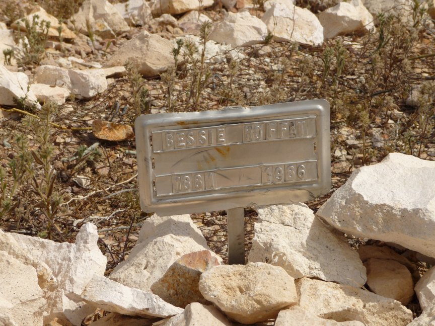
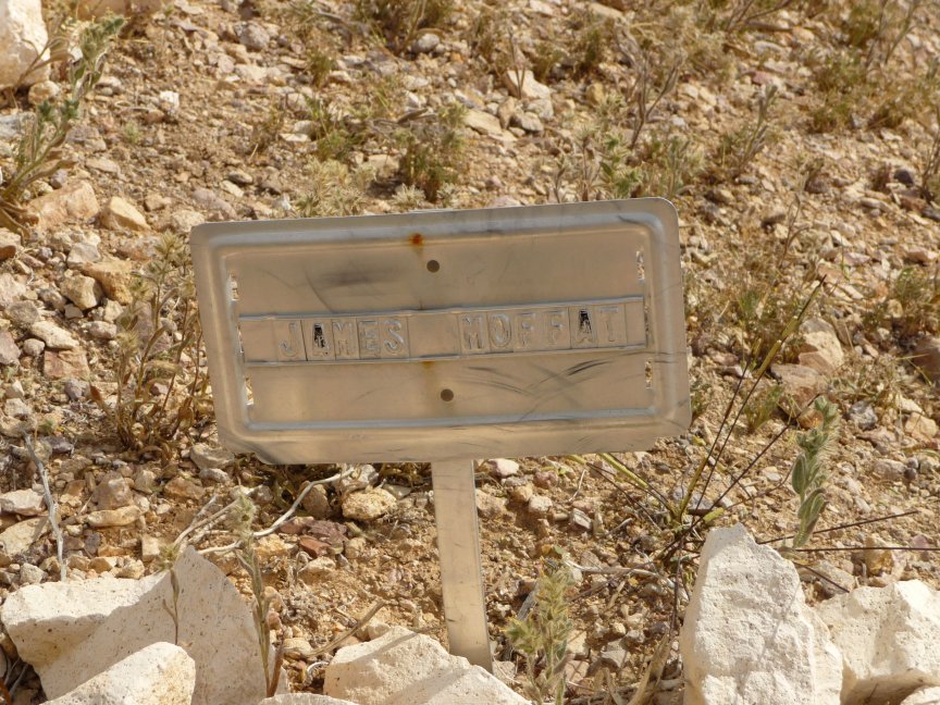
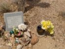
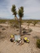
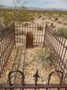
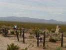
And now we reach the Rhyolite-Bullfrog Cemetery. This is it, folks, just a hunk of desert with a barbed wire fence around it. |
 |
 |
 |
 |
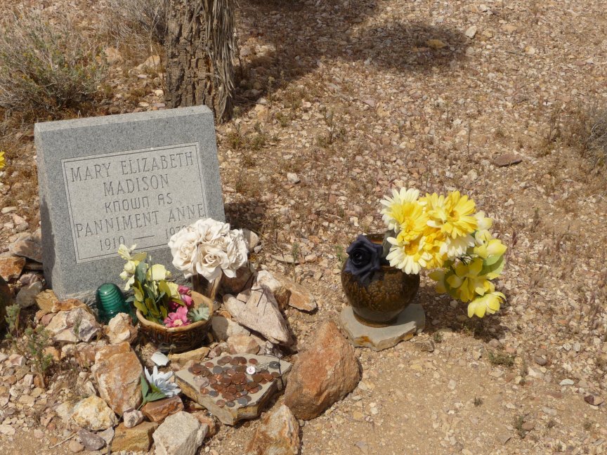
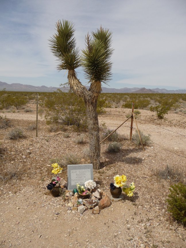
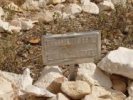
| The grave of Panamint (misspelled on the headstone) Annie, an
authentic western prospector legend. Here's a website (woefully ungrammatical) that tells about her:
|
Unidentified red-leaved bush. Or maybe they're
flowers. Can't find this one anywhere. Anybody know what it is? |
 |
 |
 |
 |
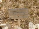
| Nice marker. |
Unidentified grave, but pretty. |
More Mojave Aster. |
This is a shot across pretty much the whole graveyard. |
 |
 |
 |
 |
| A husband and wife, with a headstone... |
and individual metal markers as well. |
Cool looking, but why? |
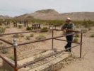
A lot of these graves are from when there was a town here, but a few, like Panamint Annie's, are more recent. Do people still own plots here? interesting. |
 |
 |
 |
 |
| A cool grave and a cool brother, and the marker for the
cemetery. |
 |
 |
 |
 |
| More wandering around, looking, pictures. A very nice place. |
 |
 |
 |
 |
| Shockley Goldenhead. Doesn't that sound like someone you went to high school with? |
Mark contemplates mortality...or lunch, hard to tell which... |
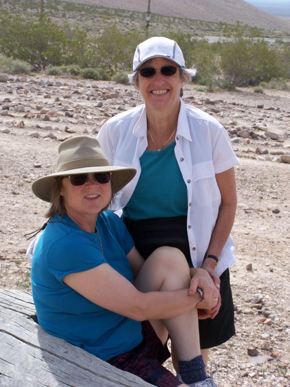
The Women in Hats contingent in serious discussion... |
and everyone is milling around, heading for the cars. |
|
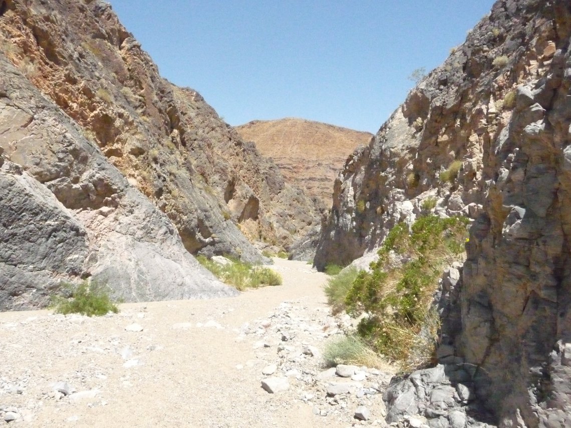
Titus Canyon
|
|
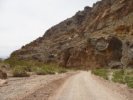
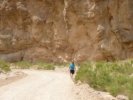
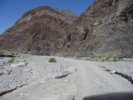
Titus Canyon is a 27 mile, one-way, rough road drive that starts on the flats outside Rhyolite and goes through the Grapevine
Mountains,
ending up on the Scotty's Castle road north of the Sand Dunes. It's not absolutely necessary to have 4 wheel drive, but it certainly helps.
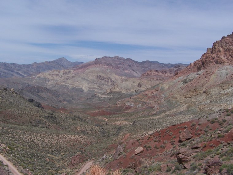
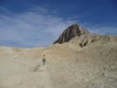
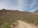
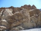
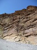
The first 9 miles or so are just flat boring washboard. Then the road starts going up the mountains towards Red Pass, and it's suddenly beautiful. Rocks, plants, colors.
The pass is a little steep and clifflike, but not a problem. Then you come down into the town of Leadfield (a mining town that lasted for 8 months, becuase the guys who
founded it planted samples to make people want to come there; as soon as word got around, everyone left...) and then into the canyon itself, which ends at the spectacular Narrows.
You can also approach Titus Canyon from the other side, park at the entrance, and walk in to see the pretty rocks, which is fun too.
There aren't many pictures of the rocks on this trip because we took so many in the 2007 trip, you can see them there.
|
 |
 |
 |
 |
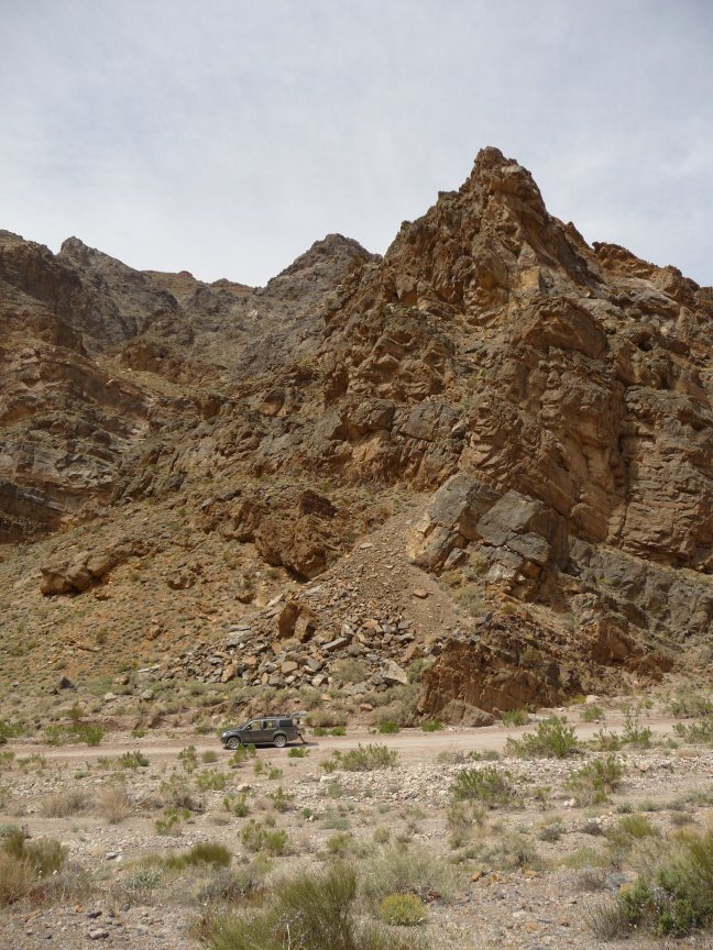
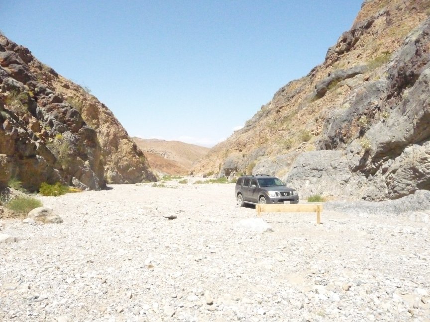
| Our excellent SUV, Natty Bumppo |
Bill and Ellen take a photo op. |
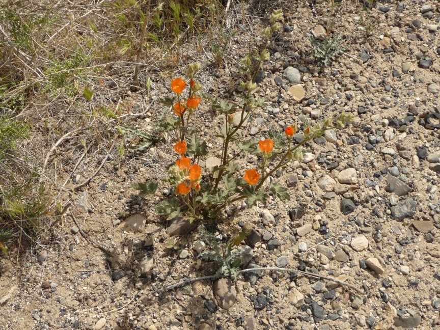
Apricot Mallow |
 |
 |
 |
 |
| More beautiful rocks, and our patient SUVs waiting for us. |
 |
 |
 |
 |
| More gilia |
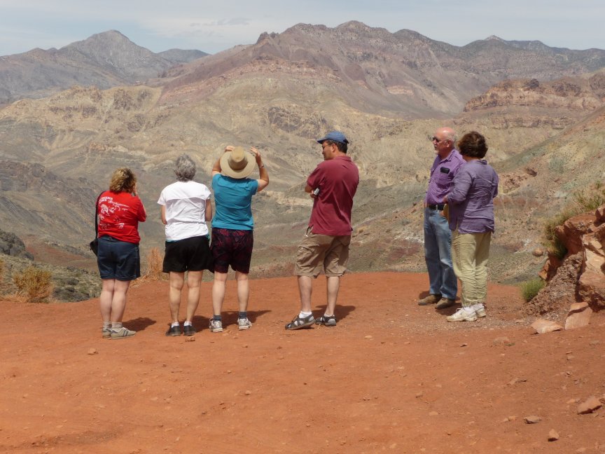
We're going up THERE! You can see the road winding back and forth up the mountain to Red Pass. On the left are
white vans, geology students from Cuesta College. We wondered if they had left room to get around them...but that corner was wider than it looked. |
Same rocks, different cameras. Left is mine, right is Jo Nell's. |
 |
 |
 |
 |
| The left pic is Jo Nell's, the right is Bill's. Their
cameras got closer to the actual colors of the rocks...but nothing does them justice, it's so washed out in photos, and so bright when you see it live. |
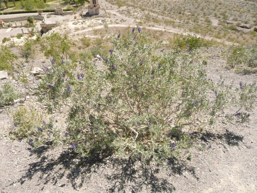
Indigo bush |
and a closeup of the flowers. |
 |
 |
 |
 |
| Hey, everybody! Turn around and look Swedish! |
And now...THE CHORUS LINE! |
More pretty colors... |
and big ol' rock formations. |
 |
 |
 |
 |
| Amazingly colored serpentine (the state rock of California, btw) |
Lunch break! we're in the town of Leadfield here, but didn't go exploring. |
This 'house' was right by our cars. |
A nice shot of Leadfield |
 |
 |
 |
 |
| serious writer talk. |
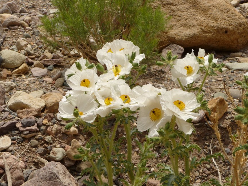
Now we're in Titus Canyon proper (Land of Wildflowers and Rocks™), and one of the first things we see is a BEAUTIFUL clump of Prickly Poppies. |
These puppies were about 2 1/2 feet high. Like walking into a Diego Rivera painting. |
The other name for these is Cowboy's Fried Eggs, which made me laugh. |
 |
 |
 |
 |
| Yes, it's still Apricot Mallow. |
These clustered barrel cacti are way up on a hill, among rocks...this is a 10x zoom and they're still pretty small. But beautiful. |
Jo Nell likes taking pictures of colored rocks. |
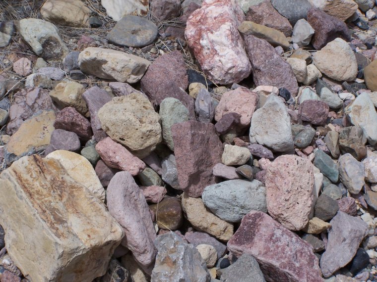
I'm fascinated by aggregate, personally. |
 |
 |
 |
 |
| More of Nellie's colored rocks, very nice. |
I think this is chinchweed...not many of them are open, so it's hard to tell, but the leaves look right. |
 |
 |
 |
 |
| I think this is the same chinchweed plant in its natural environment. |
This plant was a huge favorite with the Girl Car (as opposed to the Writers' Car, which had Bill, Signe, Doug, and Mark in it.)
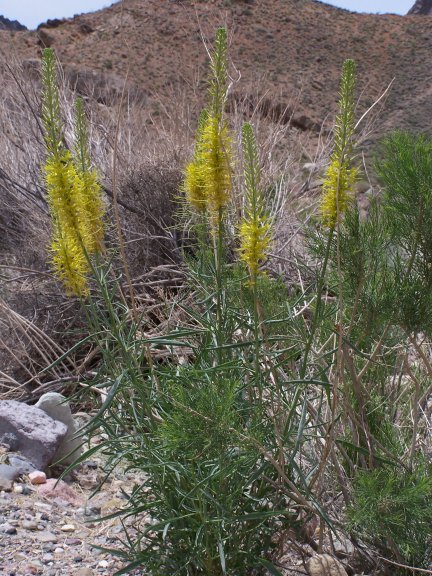
Prince's Plume, and isn't it wonderful? |
 |
 |
 |
 |
| Plaited Coldenia. Thanks, Bill! |
I really liked this rock |
Desert Gold Poppy |
This is a smoke tree, and it's very hard to see. There's a stem in the middle and pale purple flowers on
three sides. The flowers form AFTER the leaves fall off, which is what makes it so hard to see, hence its name. Jo Nell took this one, nicely done. |
 |
 |
 |
 |
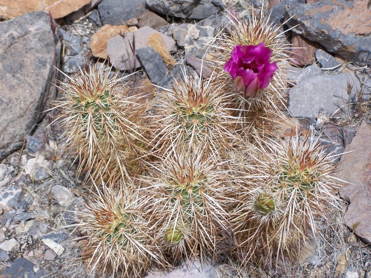
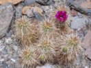
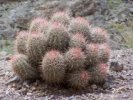
| A very nice blooming hedgehog cactus. It's not dying, it's supposed to be all brown like that. |
More Desert Pincushions |
This is how far up we were climbing to see flowers... |
I think this is another Phacelia, but I'm not sure, hard to tell. |
 |
 |
 |
 |
| More Mojave Aster. So pretty. So photogenic. |
I'm pretty sure these are Brittlebrush. |
So we're driving slowly through the wash, and Jo Nell 'Eagle-eyes' Bevington says, I see some pink
over there. And we get out of Natty Bumppo. And even as pink as it is, I have no idea how she saw it from the road...these beautiful beavertail cacti were about 50 feet away, with a WHOLE LOT of rocks and vegetation in between. |
 |
 |
 |
 |
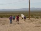
| While we're taking cactus pics, Ellen has walked own to the corner to see what's coming... |
and returned. |
More Jo Nell rock pics |
Apricot mallow and something yellow, too far away to tell. But a pretty mix. |
 |
 |
 |
 |
| Bigelow's Monkeyflower! |
Jo Nell found some BIGELOW'S MONKEYFLOWER! I just love the name of that plant. |
And some more beautiful barrel cacti...Jo Nell's pic... |
and mine. |
 |
 |
 |
 |
| A nice wild heliotrope... |
and desert rocknettle. |
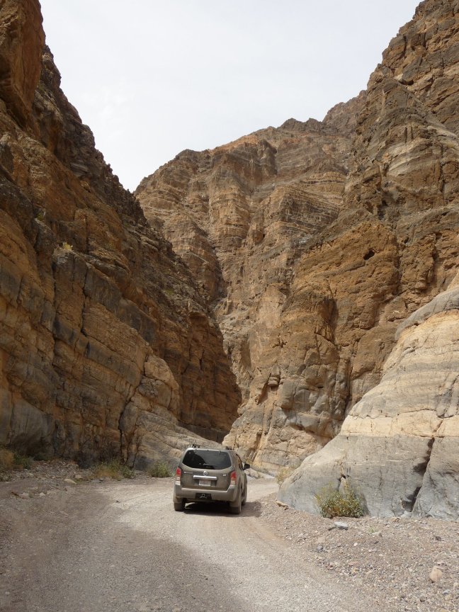
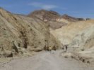
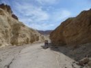
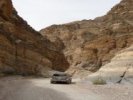
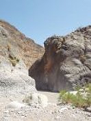
The traditional picture of the vehicle about to enter the Narrows. |
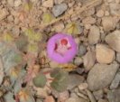
And we're out! Bill found a wonderful alien-looking plant called Desert Five-Spot. |
 |
 |
 |
 |
| An even better Desert Five-Spot taken by Bill later in the trip, shows the inside very nicely. |
We finally catch up with the Writer Car, and I take a very bad picture of all of them... |
Two views of the Devil's Cornfield, taken by Bill
|
 |
and you can see the sandstorm that has blown up since we left. |
 |
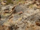
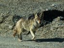
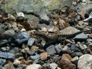
Saw this lizard back at the motel...not a clear enough photo to identify. |
|
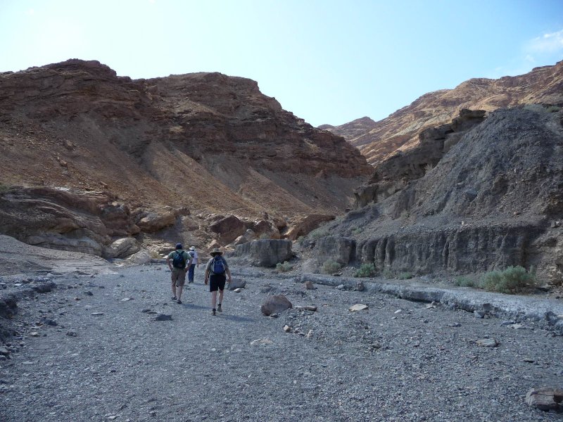
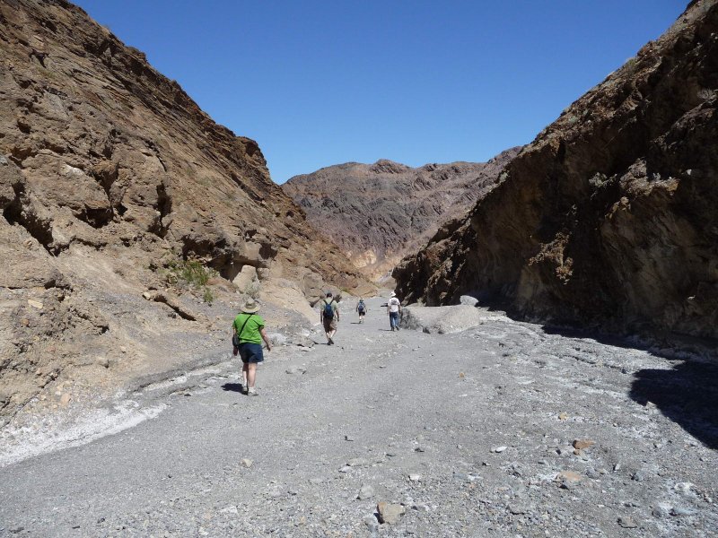
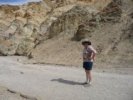
Desolation Canyon
|
|
We got back, and I said, I haven't had a hike today, I'm going to pick one from my new 'easy hikes in Death Valley' book. Anyone want to come along?
Oddly enough, no one did. Might be because it was 95 degrees, windy and sand was blowing every which way...so I took off,
saying that I would be back by 5:30.
Now, the reason this trip has the epithet, Trying to Herd Cats, is because I was the one with an alarm clock. So every night, when we decided what we were going to do,
I was the one everyone asked to bang on their door at whatever godawful hour we decided to get going. I was also the one getting everyone to the cars on time, lunches packed,
water stored, all the details. And it was indeed like trying to herd cats. But it's the kind of thing I often end up doing, so it was okay.
So the night before, when we had decided on the days activities, and that we were going to try the Stagecoach for dinner, I said, okay, after Titus Canyon, we'll all do whatever we want and meet here
at 5:30 pm, and take off for dinner around 6. After we got back from Titus Canyon, and people started wandering around doing stuff, I said, remember, meet at 5:30. Okay.
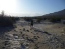
So I went on my hike...the guidebook said the road to the trailhead was 3.6 miles down the Badwater road, turn left on the road and go 1 mile to the trailhead. The canyon trail itself was a half mile each way.
Piece of cake, I thought. Half an hour to the trailhead, half an hour of hiking through pretty canyon, half an hour back. I left at 3:45, and told everyone I'd be back at 5:30 and reminded them all that that was when we were gathering for dinner.
So I drive down the Badwater road. There's an unmarked road on the left at 3.3 miles, but at 3.6, I'm going around the Artist's Drive hills and there is no road.
I figure that the road I passed must be it, go back and turn.
The book says the road splits and to take the left hand path. The road I'm on goes half a mile and ends in a turnaround. Yes, they had changed it, so now the drive is shorter (and less likely to wash out in spring) and the hike is longer. But I'm brave and intrepid, and I leave
my car, chase my hat and barely catch it before the wind takes it to the hills, leave my hat in my car, and am off on my hike. Which is now a mile in each direction, and it's 4:30...
|
 |
 |
 |
 |
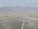
| Remember, we're having a sandstorm. This is what the road from Stovepipe Wells toward Furnace Creek was like. It got better past the dunes, but was still
pretty windy. |
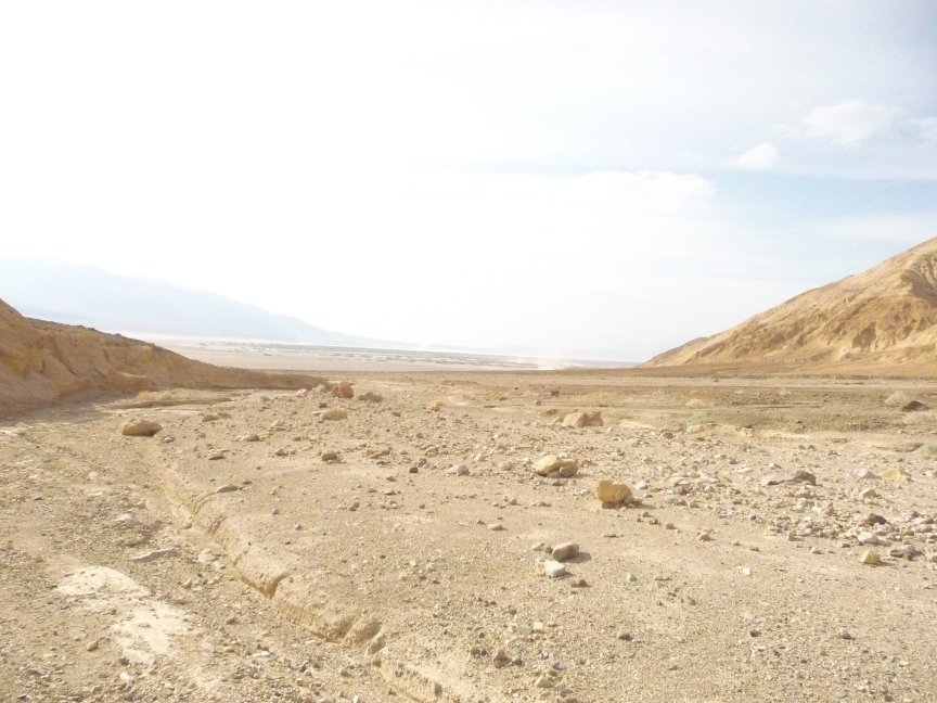
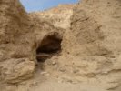
Just pulled off the road. Here are the hills I'll be hiking into... |
and the valley off to the left. |
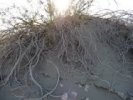
Hiking up the wash toward the canyon. |
 |
 |
 |
 |
| More wash, more hills... |
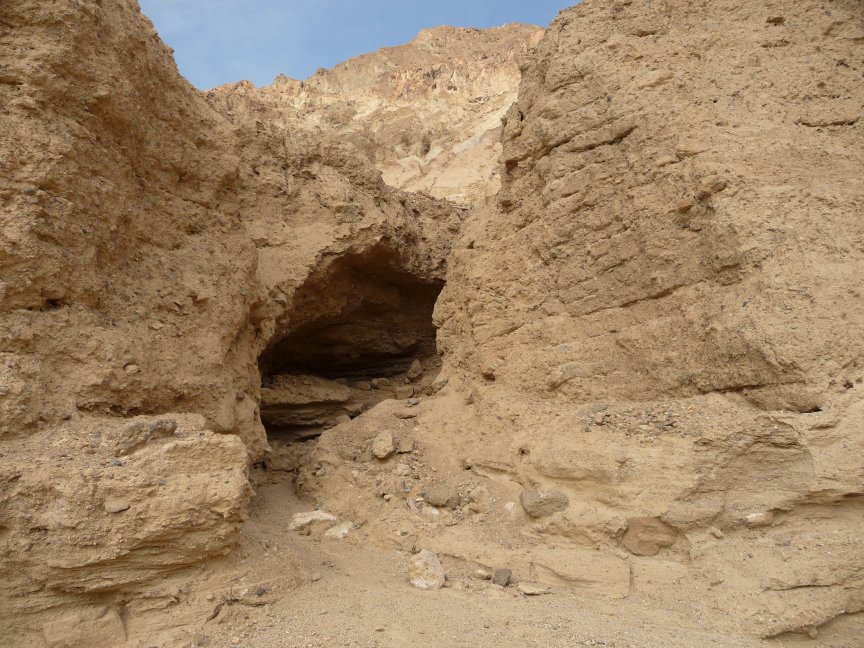
and a little cave off to the left. |
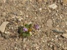
Sand verbena |
And I'm coming up to the mouth of the canyon. The wind is just WHIPPING through here. |
 |
 |
 |
 |
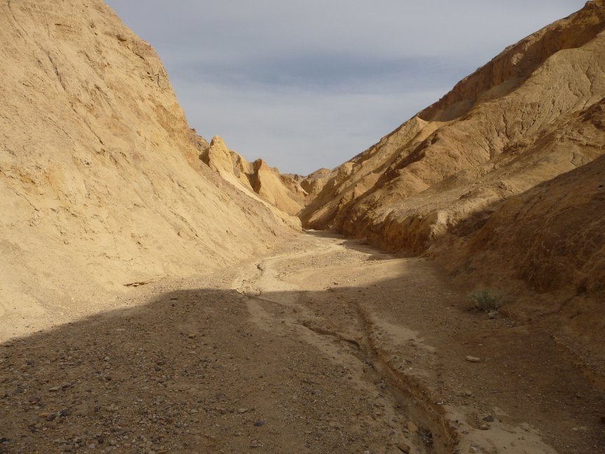
| Hiking Desolation Canyon. You can see why they call it that; unlike
most of the washes in DV, there is no variation, or vegetation, just mud and rock walls. Beautiful stuff, though. Narrow little canyon, a very cool hike. |
 |
 |
 |
 |
| I love hikes like this. |
The canyon just got narrower and narrower... |
until I was at the end of the lower canyon, and it was time to turn around. From here, you can go up about 1.5 miles of steep stuff, and it finishes overlooking Artist's Palette.
But that's got to wait for next time. I gotta get back to the motel for dinner. |
On the way back, I saw a place where the harder rock was coming out of the soft stuff, looking like veins or roots. |
 |
 |
 |
 |
| more canyon... |
more rock veins... |
I'm kind of hurrying now, it's getting late... |
 |
 |
And I get back to the car...and it's 5:15. It's at least half an hour to Stovepipe Wells, assuming that the slow-driving old foofs at Furnace Creek and the sandstorm near our motel don't slow me down too much.
OH MY GOD, I'M GONNA BE LATE! None of the others will ever let me live this down. After being the one who got everyone everywhere on time all weekend, and I'M LATE.
I drove not quite like a maniac, but certainly faster than I should have. I got back to the motel at 5:45, expecting to see nine pissed-off friends standing out in front glaring at me.
There was nobody in front. The door to our room was ajar...I walked in...and it was HAPPY HOUR! Everyone had decided to have a lovely drink and let me show up when I wanted to. And don't think I didn't greatly appreciate it!
So I showered and changed, Elise called the Stagecoach Casino and let them know ten of us were coming, and we went off for
dinner. Which I thought was pretty good, my filet mignon was great. Unlike the beer selection, which ran the gamut from
Miller to Bud to Coors...ew. Ellen and Elise had the forethought to bring three bottles of good wine with them, so by paying
a corkage fee the wine drinkers got to have some good stuff. Glad they liked it.
But it was a nice time.
|
| But there's always time to take a picture of the beautiful Leaf-stemmed Coreopsis! |
And more sandstorm on the way back. |
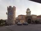 |
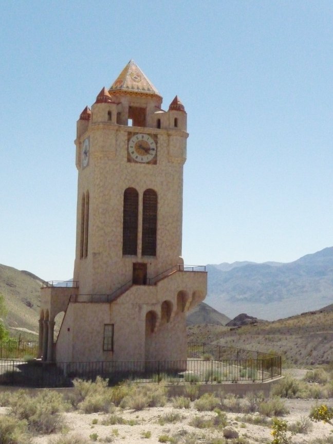
On the left is this wierd medieval tower thing attached
to a nut and candy store, across from the restaurant. And on the right? the sandstorm was unabated, so happy hour continued in our room
from after dinner til bedtime. Nice. |
 |
|
Saturday
|
|
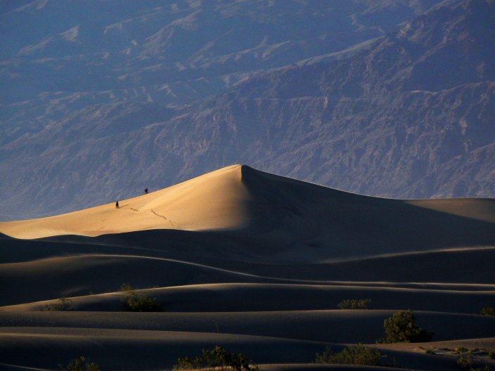
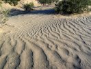
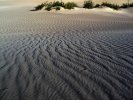
Sand Dunes
|
|
We had gotten up (thanks to Jo the Alarm Clock Girl) early on both Thursday and Friday. We all decided to sleep in on
Saturday. Except for a few die-hards who
wanted to get out at 7 am and see the sand dunes after the sand storm, because early in the morning is the best time to see them.
I was not in this contingent, but Doug was. He put his clothes out the night before, I set the alarm for <shudder> 6:45 am, and he put the camera where he could get to it.
Morning. Alarm goes off. I shut it off, Doug grabs his clothes and disappears into the bathroom, comes out fifteen minutes later, takes the camera, kisses me and leaves. I hear him
say something to Bill, and try to go back to sleep.
7:15. Bang bang bang on my door. I get up and open it.
Jo Nell: I thought people were going to the sand dunes:
Me: They are, they've left.
Jo Nell: I wanted to go! nobody woke me up!
Me: You didn't tell anyone you wanted to go. They're two miles down the road, you can catch them.
So much for sleeping in. I made some tea and had a nice breakfast in the pretty (non-sandstormy) morning. Everything in all of our rooms had a thin film of grit on it,
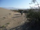
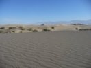
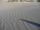
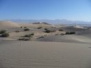
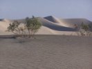
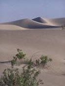
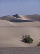
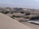
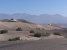
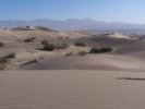
that was some sandstorm. And here are the pictures from the sand dunes; Doug, Jo Nell, Tom, Bill and Mark went.
|
| These pictures are Bill's
| |
 |
 |
 |
 |
 |
 |
 |
 |
 |
 |
 |
 |
 |
|
 |
 |
 |
Doug's pictures |
 |
 |
 |
 |
 |
 |
| The next ones are Jo Nell's |
 |
 |
 |
 |
 |
 |
 |
 |
 |
 |
 |
|
 |
 |
 |
And these are Tom's. |
 |
 |
 |
 |
 |
 |
 |
 |
 |
 |
|
And back to the motel for the Mosaic Canyon
hike! |
|
Mosaic Canyon
|
| This is a wonderful canyon whose first mile or so is made up of polished marble rock. We
hike up it every time we come, not only because it's pretty, but also because the road starts 1/4 mile from the motel, very convenient. Because we've taken so many pictures of the lower part
on other trips, I didn't do as much of that here, just a few shots with people. You can see lots of pics of this canyon on the 2006 and 2007 pages.
|
 |
 |
 |
 |
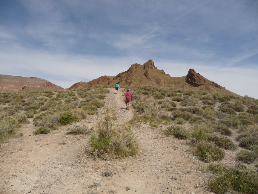
| We gather for the hike...Bill documents us...Jo Nell is ready...I'm ready...Mark is ready...is everyone ready? Let's go! |
 |
 |
 |
 |
| Walking up the wash to the canyon... |
walking... |
nice rocks... |
And here we are, in the marble! |
 |
 |
 |
Walking up the narrow parts of the canyon |
 |
 |
 |
 |
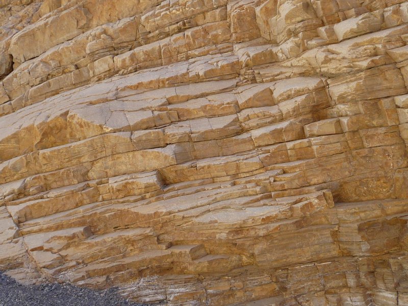
| This is all beautiful, polished, colorful, banded rock. |
Some of it is a scramble to get through, but it's worth it. |
Here you have to climb up the smooth rock and around the corner. |
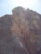
Tom finds a very nice cliff/sky combination |
 |
 |
 |
 |
| More cliffs! More sky! |
More scrambling up smooth rock! |
Tom and I both liked the color bands in the rocks...this is his... |
and this is mine. |
 |
 |
 |
 |
| They all went on ahead. Usually we stop after the marble, and I seem to remember that there was
some obstruction fairly soon after that, but it's gone now, so we started hiking the last mile to see the end of the canyon.
Signe stayed behind in the cool shady part of the lower canyon to wait for us... |
Bill and Mark are having a discussion... |
and I scrambled up a steep slope to take some plant pics. I will regret this later. This is our old friend tobacco-weed, aka gravel ghost. |
Another nice wild heliotrope. Then it was time to find a way down from the ledge I had clambered onto and followed, hoping that
I was not going to end up like Dom DeLuise in The Twelve Chairs...I finally had to retrace my
steps and go down the way I
came up, sliding on my butt, which is a common way for me to go down steep stuff! |
 |
 |
 |
 |
| And I sauntered down the pretty canyon... |
taking pictures of the rocks... |
more canyon... |
ooh, pretty rock contrast. Saunter, saunter... |
 |
 |
 |
 |
| Lots of pretty rocks and canyons. No need to hurry.
Then I caught up with Bill... |
 |
 |
 |
 |
| And found out that I had missed seeing a BIGHORN
SHEEP by FIVE MINUTES! AAARGH! These are the excellent pictures of it that Jo Nell 'Eagle-eye' took. Damn. |
I hung around the same place for a while hoping it would come back once the tourists had gone, but no luck. |
And even this beautiful Desert Trumpet is no consolation. Doug's comment: you always do seem to miss the best wildlife, don't you? |
 |
 |
 |
 |
| Rocks |
A Desert Rocknettle |
More rocks |
And doesn't this look like someone lying sideways? you can see eyes and everything... |
 |
 |
 |
 |
| Here's Ellen, I've caught up with the group. |
Who have pretty much reached the end of the canyon. |
Jo Nell: Shade! I'm not leaving! |
oh, all right. Whoops, that's the end of the canyon. |
| Time for a group shot! Who's not in it? Must be Bill taking the pic...thanks, Bill! |
 |
 |
 |
 |
 |
| BFFs! And by the way, I hope you're noticing that I'm not wearing shorts, but jeans. It wasn't very hot, maybe 80-85 degrees. Lovely. |
And we start back down the canyon, walking bravely. |
Back home for lunch! sounds good. |
And it's downhill, my favorite kind of hiking |
 |
 |
 |
 |
| Tom and Ellen explore a side canyon, find the end...then Tom turns into a bear and
savages her... |
 |
 |
 |
 |
| She's my sister! I wouldn't do anything mean like that! |
down the canyon... |
Bill poses for a photo... |
and Mark is about to enter the lower part of Mosaic Canyon. |
 |
 |
 |
 |
| Tom stops for another picture... |
Jo Nell took this, I don't know what settings she used, but wow. |
Look! the canyon is THIS WIDE! |
Hey! a pretty good picture of ME! That's rare! Thanks, Jo
Nell! |
 |
 |
 |
 |
| Jo Nell and her lovely green shirt show off the windiness of the canyon... |
Josie Looking Sexy On Rocks™!
(a 30 year tradition) |
 |
 |
 |
 |
| Signe watches for our return. |
Look Swedish! |
The end of the canyon... |
one more shot of rocks...and back to Stovepipe Wells for lunch. |
 |
 |
 |
|
| Bill and I have a sibling moment... |
Tom is showing the youtube video of the rabbit chasing the
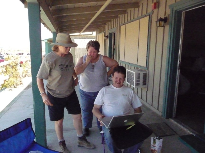
snake up a tree. Did I mention that Stovepipe Wells now has wireless? |
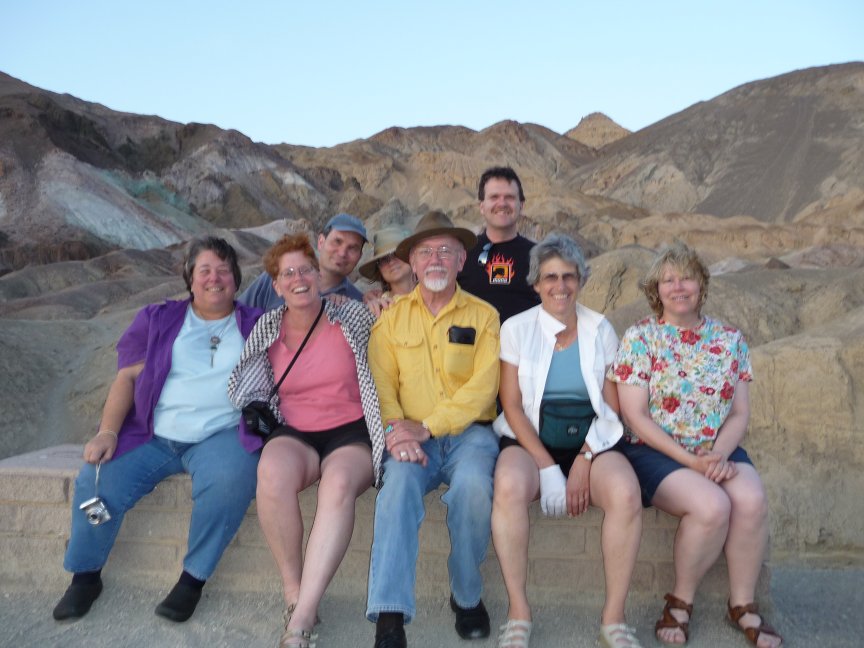
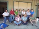
And the Official Photo of the Death Valley group. All ten of us:
Back Row: Tom, Doug, Jo Nell, Ellen, Elise, Diana, Signe
Front Row: JoAnn, Bill, Mark |
|
|
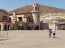
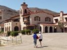
Scotty's Castle
|
|
Mark had to leave DV soon after this picture was taken, but he promises to come back next time.
We're holding you to that, Mark!
Doug, Diana and Tom stayed at the motel, with the intention of
visiting Furnace Creek (and I think ice cream was going to be involved as well...)
The rest of us piled into Natty Bumppo and
drove 45 miles north to Scotty's Castle, which was a home built in the late 20s and early 30s by the Johnsons, who were rich folks
who wanted a nice vacation home. It's at a higher elevation, in a nice valley on the north of DV, with a big spring that supplies plenty of water.
Construction stopped in 1931 when Johnson found out he had built on the wrong land, and by the time he
got the title to the land he HAD built on in 1937, his health was failing, he had lost most of his millions, and labor and materials
had gotten way more expensive. So they pretty much abandoned the place, leaving it in the care of Johnson's friend, Death Valley Scotty, who lived there
until he died in 1954, telling wild tales of his gold-mining days and claiming that he had built
the place with his own money and getting sued by his ex-wives, who thought he owned the house
and land and wanted their share of it...
Now it's run by the NPS. I have taken the indoors tour several times (pics in the 2006 trip, but last time
Bill and Jo Nell took the basement tour and said it was good. So while Jo Nell, Ellen and Elise took the house tour, Signe and I took the basement
tour, and Bill just wandered around taking pictures on the grounds.
|
 |
 |
 |
 |
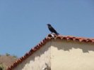
| Big ol' crow. |
Signe and Elise in front of the house |
I saw this necklace in the gift store for TWO HUNDRED AND TWENTY FIVE DOLLARS! and said, nah, I could make that...
so now I'm looking for the beads...we'll see how it goes... |
 |
 |
 |
 |
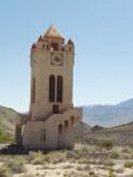
| Great weathervane |
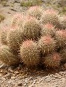
More Desert Five-spot |
A freestanding tower |
A very nice creosote bush. |
 |
 |
 |
 |
| A lot of the construction here was done with old railroad ties. Johnson
bought a hundred thousand of them for 1500 dollars, then had to pay 25K to have them shipped up to where the house is. Most of them
are still in the wash behind the house. |
Another beautiful indigo bush... |
and a closeup. |
This is taken from the top of the hill where Scotty is buried, you can see all the buildings. |
 |
 |
 |
 |
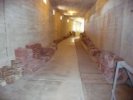
| Nice barrel cacti on the bridge over the swimming pool. |
And the light fixture in the Seahorse Room. This is the room
that the door with all the ocean stuff (see the 2006 trip) leads to; it was originally going to be the
changing room for the swimming pool. |
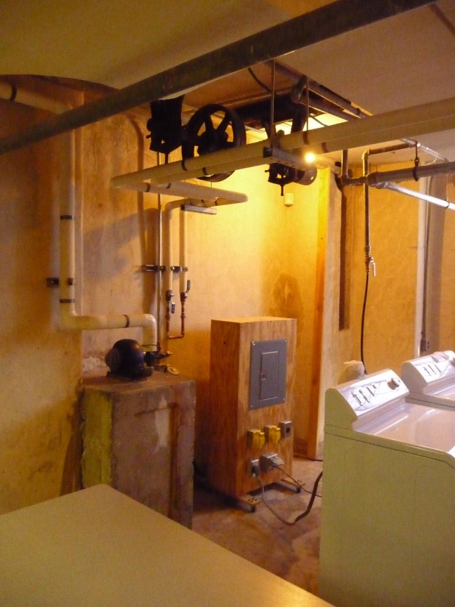
One of the things I liked about the basement tour was all the talk about machines and how stuff worked.
The little round black thing on the wooden table in the back is a tiny Pelton waterwheel that provided power for two belt-driven washing machines in Johnson's day. The spring
flows at a rate of 300 gallons of water PER MINUTE, and provides not only plenty of water for anything you might want (including the unfinished
million-gallon swimming pool) but also power, using these water wheels, for most household needs, especially in the 1930s. |
A service corridor under the swimming pool bridge. Notice the portholes. Tile is stored in the cabinets. |
 |
 |
 |
 |
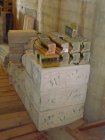
| More unused tile and decorations. On the right
are the edge pieces and gutters for the swimming pool, which was never finished. |
 |
 |
 |
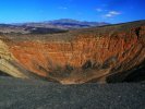
We left Scotty's Castle and drove
back into DV, immediately turning aside to see Ubehebe Crater. That's pronounced U-Ba-He-Be, four syllables. It's a big ol' volcanic crater that went 'splodie either a couple of thousand or three hundred years ago, depending on who you talk to (there's evidence that it was
within recent history, they're still working on that one). |
Three pics Bill took on the grounds
while we were on the
basement tour:
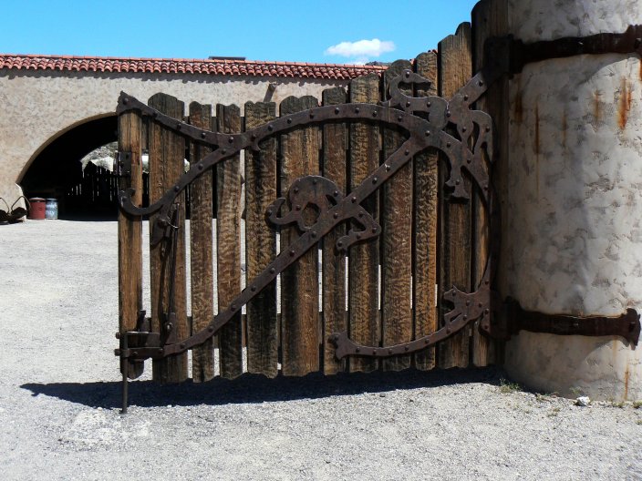
Silver (or golden) cholla; a blooming beavertail cactus in a clump of what looks like burroweed; and a cool gate. |
 |
 |
 |
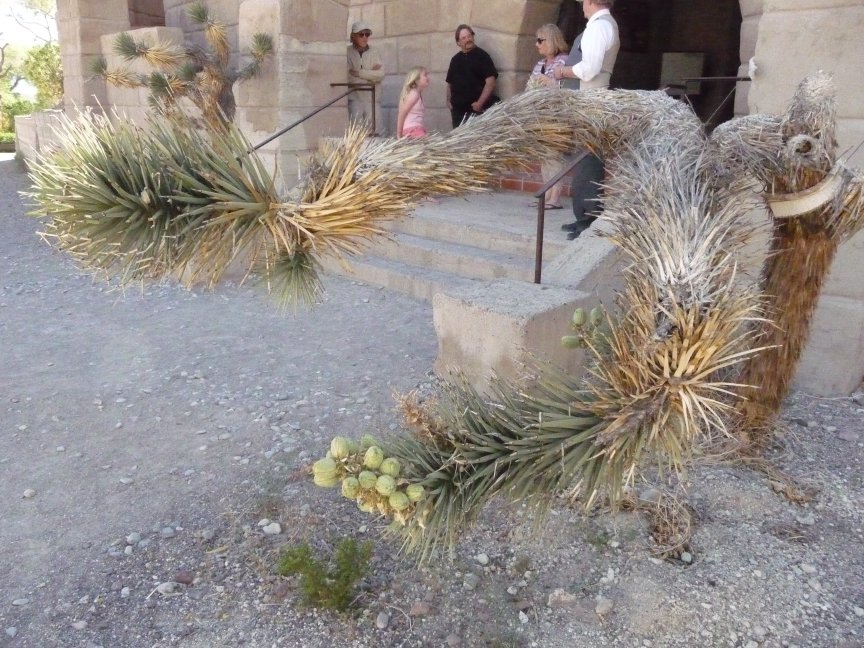
| And Bill found something I'd never seen...a FRUITING Joshua Tree! |
Pretty darn cool. |
And here's the swimming pool, you can see the portholes we were standing under
earlier. Both Signe and I want to swim in it, it looks wonderful. |
|
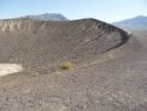
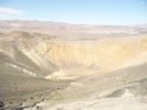
Ubehebe Crater
|
 |
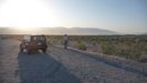
Here we are! |
 |
 |
 |
 |
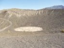 |
| Bill took an excellent pic of the crater, nice colors. |
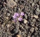
More Purple Mat in the lava gravel |
So this time Stupid Hiking Girl decides to go see Little Hebe (hee-bee, like the Greek goddess of youth) crater. Up this way. On loose shifting lava gravel the whole way. Stupid Hiking Girl found out that this was NOT A GOOD IDEA pretty quickly. |
But here it is, Little Hebe Crater. There's a trail all the way around the lip of both craters, actually. |
 |
 |
 |
 |
| And a bit more of Little Hebe. |
Ubehebe from the edge of Little Hebe. Don't you just love these names?
I'm a hebe, he's a hebe, she's a hebe, they're all hebes, wouldn't you like to be a hebe too? be a
hebe, climb Little Hebe... Kind of gives you the heebie-jeebies... (My husband is looking at me
like I've gone insane at this moment. Back to the vacation.) |
This is looking back down at the parking area where all the sensible people are waiting for me. It was much easier getting down, I must say.. |
Hi, guys! Didja miss me? |
 |
 |
 |
 |
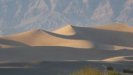
| The right-hand side of the green parentheses coming down the hill is the valley where Scotty's Castle is. |
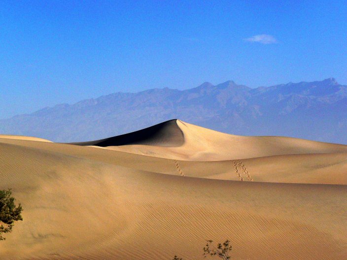
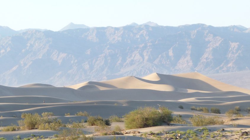
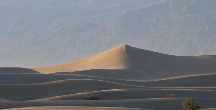
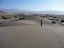
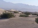
One more shot of beautiful sand
dunes against the hills. We played western swing all the way up and back, and sang along with
Roly Poly (the Official Song of the Death Valley Trips™) on the way back. |
And Happy Hour starts as soon as we all get back. |
Here's the corner of the motel, with my and Doug's room at the corner;
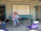
Diana and Mark, then Tom and Jo Nell along the front; and Ellen and Elise, then Bill and Signe along the side to the right. |
 |
Ellen, Elise, Jo Nell and I settled down for a fairly cut-throat game of Hearts.
The rules: no points for the Jack of Diamonds, bleed on the first trick, and the Queen of Spades
breaks hearts.
The outcome? I was winning for most of the game, but on the last hand Ellen pushed my score two
points over hers and Jo Nell's over a hundred, winning the game BRILLIANTLY. It was GREAT.
Then we spent the rest of the evening hanging out, talking and making plans for the next day. |
|
Saturday
|
|
Parting Company
|
|
So it's Saturday. Ellen, Elise, Jo Nell, Tom and Diana are all leaving in the morning. Doug really wants to go to the Racetrack, and since
he had to miss a lot of the fun I said, sure, we'll go. Then it turned out that Bill and Signe were going to the Racetrack too. So I said to Doug, is it okay if
I don't go to the Racetrack with you guys? I'd like to stay til people leave, then do...MARBLE CANYON. This was fine with Doug. The Racetrack travelers wanted to leave at 7 am,
so I got everyone up at 6 am <shudder> that morning.
By 7, Bill and Signe and Doug were leaving. Ellen and Elise were just about ready to go, and we are seriously hoping to see them again too
on the next trip. I had been talking to Diana, and she mentioned breakfast. The hike I'm taking is only over
there, I said, gesturing to the hills across from the motel, I wasn't going to leave for my hike til about 9. Why don't we try the restaurant here for breakfast and see if it's improved?
Diana thought this was an excellent idea, as did Jo Nell and Tom when we mentioned it to them...all of them are from Southern California, and had only a four hour drive to get home.
Ellen and Elise have to get back to Reno (about a 6 hour drive) in time for a 6:45 pm flight home to Seattle, so they opted
out of breakfast, and we all said goodbye and the four of us
went to the restaurant in search of bacon and pancakes. And I have to say, having gone 4 1/2 years since my last experience
at this place...IT HASN'T CHANGED. IT WAS STILL TERRIBLE.
The sausage was bland. The sausage gravy was bland. The fruit was all melon. Jo Nell said, when we mentioned breakfast, anyone can make decent eggs. Evidently these people couldn't. We
think they were trying to please the palates of middle westerners and old people, but for whatever reason, it was just awful. So the
Stovepipe Wells restaurant is permanently on my list of Places Not To Eat Again.
And breakfast was over. And it was time to go hiking.
|
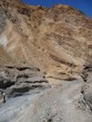
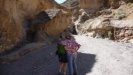
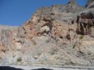
Marble Canyon
|
|
THE MARBLE CANYON STORY
I was here with a couple of friends in 1995 (back when we visited occasionally, before I
realized that I need more DV than that.) Our vehicle was my high-clearance 2 wheel drive
1991 Toyota SR-5, the truck that turned into the Tacoma years later. And she was a good truck,
was Red Sonja, even with just 2 wheel drive. She had been to the Racetrack and back on a
previous
trip, and we figured
she could do almost anything. My two friends and I had a guide to roads and sights in DV that we were using, and it said that there were petroglyphs in Marble Canyon. So we set off to go there.
The part we didn't realize til later was that this particular guide was a FOUR WHEEL DRIVE road guide. So we were carefully navigating this road, which was rough but not terrible, but is very sandy,
being so near the sand dunes. And we came to a curve where the (obviously) real road went to the right around a big curve, and another track cut across the short way. And being good park visitors, we
knew perfectly well that one should not cut across but should take the actual road. And we did.
And when we sank up to both axles in sand, we figured out why people had been cutting
across...TO AVOID THE SAND PIT.
So there we were, in the sand. No way out, we tried. We were about 5 miles from Stovepipe Wells, so I said (knowing that neither of my companions could do it) I'll hike out and get help, it's not hot (it was about 80).
Then we looked back, and a plume of dust was coming up the road toward us. Someone was coming! at the least, we could probably get a message taken to the rangers, much better than walking out in a sundress.
And a Suzuki Samurai pulled up. A four-wheel drive Suzuki Samurai. WITH A WINCH ON THE FRONT, oh my god. And when the nice gentleman who was driving got out of his car and said, do you need some help...A COLLIE DOG JUMPED OUT OF THE BACK.
Lassie! Lassie has saved us! we all said.
And he winched Sonja out of the sand and we went carefully back to civilization.
But we never made it to Marble Canyon, which is supposed to have great hiking and petroglyphs. And on EVERY SINGLE TRIP SINCE, I say, how about Marble Canyon? it's right there...and we end up not doing it.
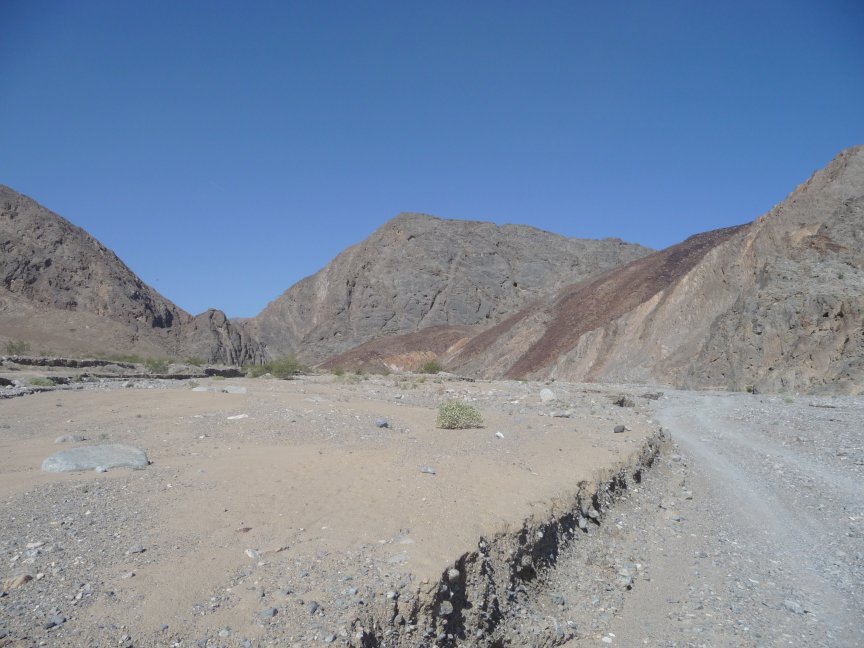
So I was going to do it. But the thing is, after getting stuck in the sand, I was kind of scared it would happen again. All Saturday morning, my tum was rumbling because on some level I was sure it would happen again, Natty Bumppo's excellences notwithstanding. And I was going ALONE, which meant that if I got stuck I would have to get out of it by myself.
But we got back from the awful breakfast, and I packed my stuff. Put on shorts, hiking boots, a tank top and overshirt. Packed a lunch, and some trail mix and water and my guidebook in my backpack. And left.
I had told Doug, Bill and Signe that I should be home around 1, and if they got back and wanted to go out again, to just leave me a note about when to expect them. And off I went.
And of course everything went fine. And as soon as I was obviously past the area we had gotten stuck (the road has completely changed since then) I relaxed and had a WONDERFUL time.
|
|
 |
 |
 |
| HORRIBLE ARACHNID FEROCIOUSNESS! Before I left, Diana was cleaning out her room, and I heard the well-known cry, There's a spider as big as a Buick in here! And she wasn't far wrong, it's about an inch and a half across. Ew. |
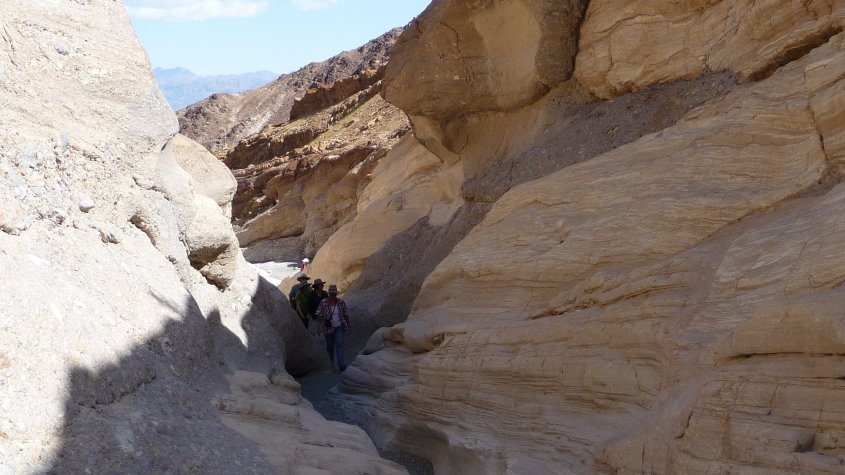
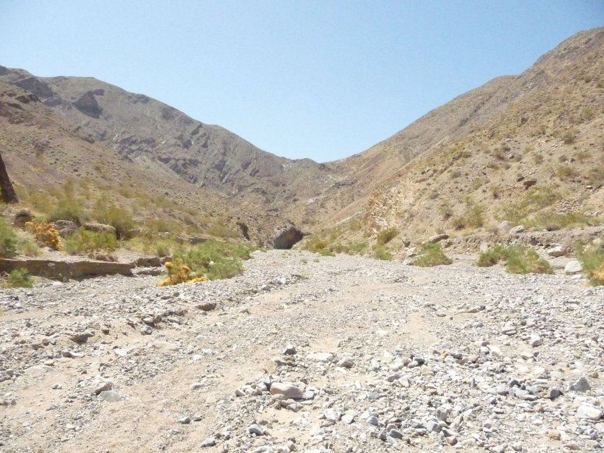
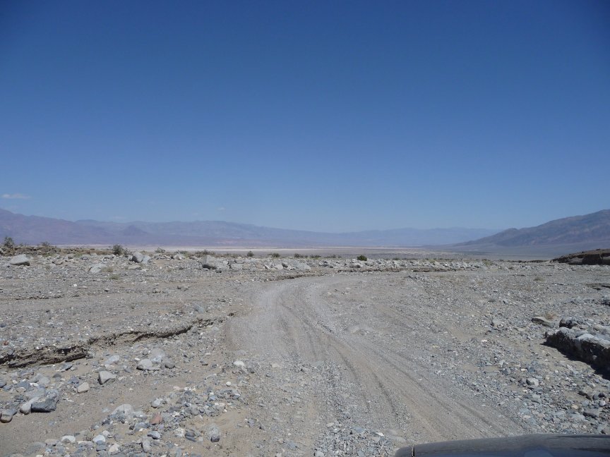
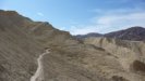
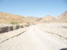
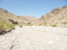
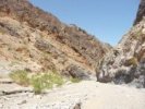
I'm on the road! Once I figure out that the road to the canyons leaves the campground across the street by way of the airport (yes, the Stovepipe Wells airport...) it's easy to follow. |
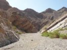
And as you can see, it's a darn good road. Sandy washboard. For nine miles. |
Then it turns a corner, goes down in a streambed, and it's rocks and streambeds for the next three miles. |
 |
 |
 |
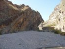 |
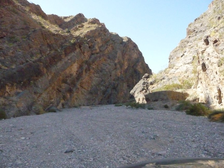
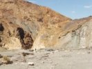
| The road was so much worse than it looks. It winds back and forth across the streambed,
over a lot of big rocks, goes north around the hills that
can be seen from the motel, then behind the to the south, then east to the canyon. The guidebook said that another road, to Cottonwood Canyon,
split off after it turned east, but I never saw it, just kept going on the only road I could see. And there's the canyon entrance- if you look
closely at the rightmost photo, there's a sign blocking the road, and you park
there. |
 |
 |
 |
 |
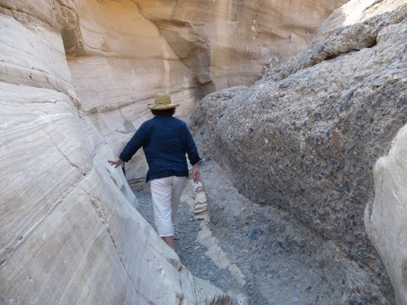
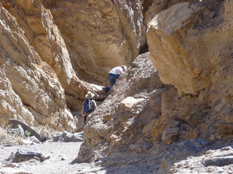
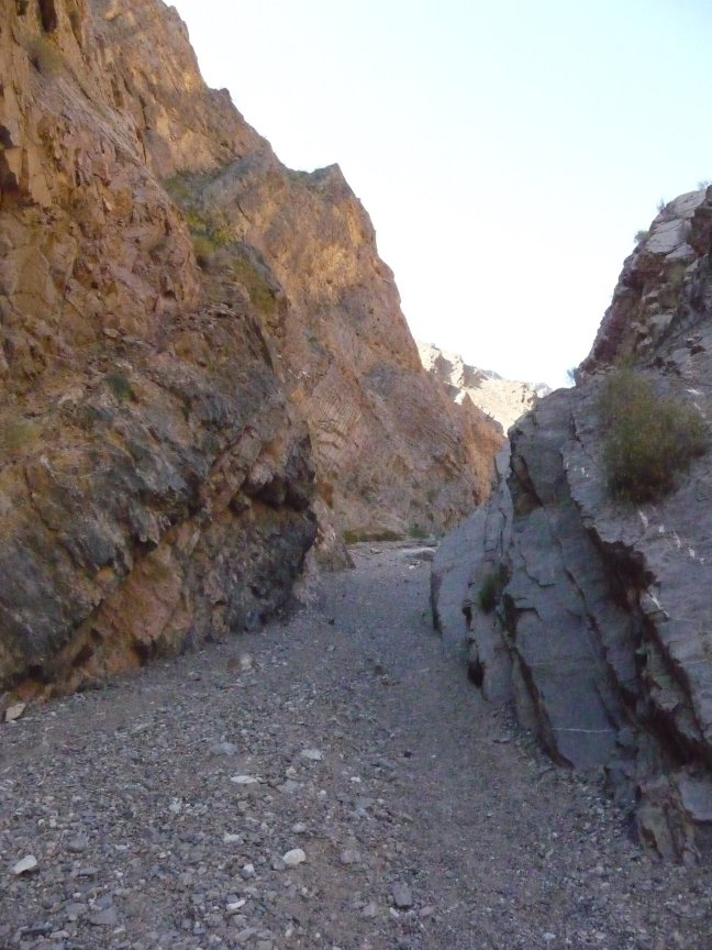
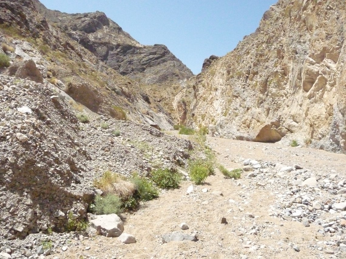
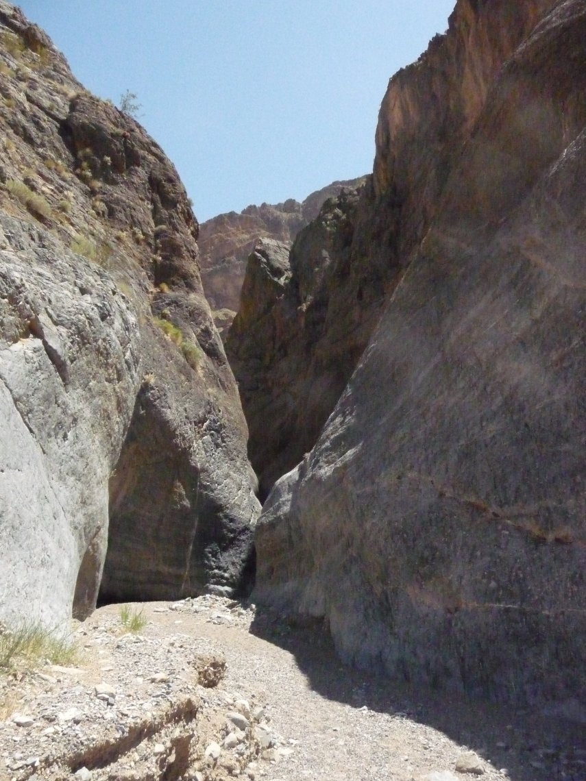
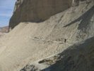
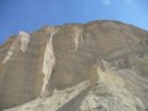
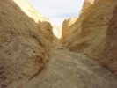
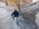
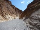
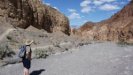
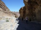
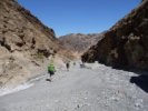
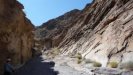
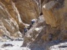
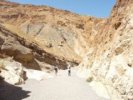
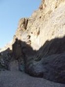
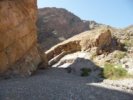
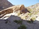
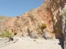
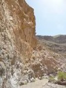
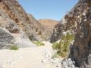
| Canyon. Rocks. I like this place already.
I got to the trailhead at 10, so I decided I'd walk four miles, turn around either at noon or at the four
mile mark, and go back, which should get me back to the motel by 3 pm. |
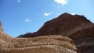
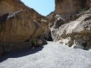
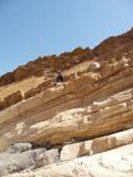
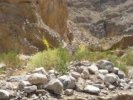
Pretty rocks! |
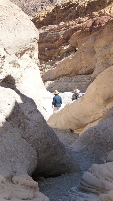
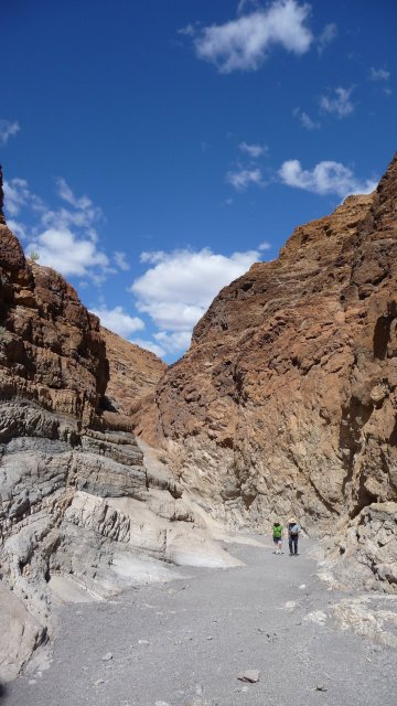
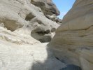
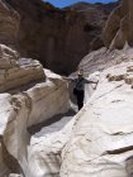
And the first indication that I'm in the right place, the canyon narrows to six feet wide. |
Photo op!!! |
 |
 |
 |
 |
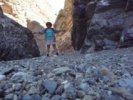
| Hiking down the canyon... |
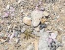
A lovely Tiger Whiptail lizard |
When Rocks Bend... |
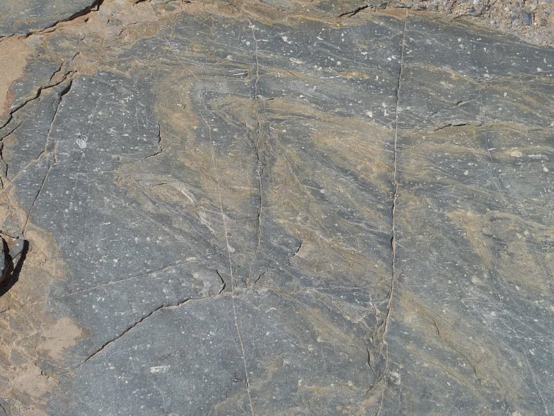
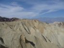
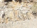
I have to say, the diversity of rocks in this canyon was amazing. |
 |
 |
 |
 |
| I'm enjoying the hike, and I'm also looking for my first distance marker, which is supposed to be a dry waterfall at 1.1 miles, that one has to scramble over on the left. |
The dry waterfall never showed up, so I kept going... |
enjoying the rocks and sunshine. It was a warm day, but a nice breeze was blowing in the canyon, and it being a couple of hours before noon a lot of the hike was in shade. |
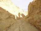
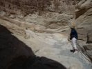
And then I came on my next marker: the rock at mile 1.6 that blocks the trail completely. Look on the right, the guide said, and there's a trail that goes over and past it. |
 |
 |
 |
 |
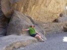
| Sure enough, if you look on the right of this picture there are three rocks piled up on a big rock; they mark the trail (to the right of them) that goes up and over the VERY big rock. |
Up and over... |
and down, you can see the floor of the canyon on the left. |
And then of course I had to walk
back and look at the blocked trail from above. Cool! Although I was so tired
coming back that I got here and was staring stupidly at the blocked trail, trying to figure out
what the heck happened to the canyon, before I
remembered that this was the place I had to go around, and backtracked til I
found the side trail. |
 |
 |
 |
 |
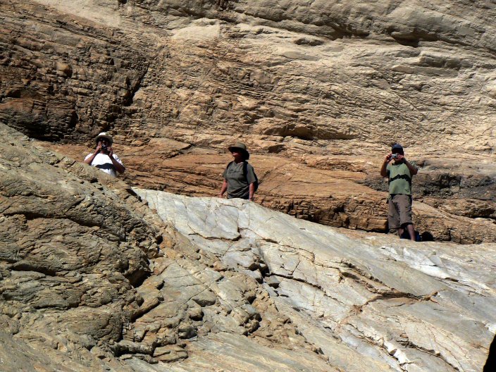
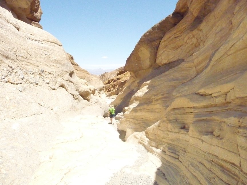
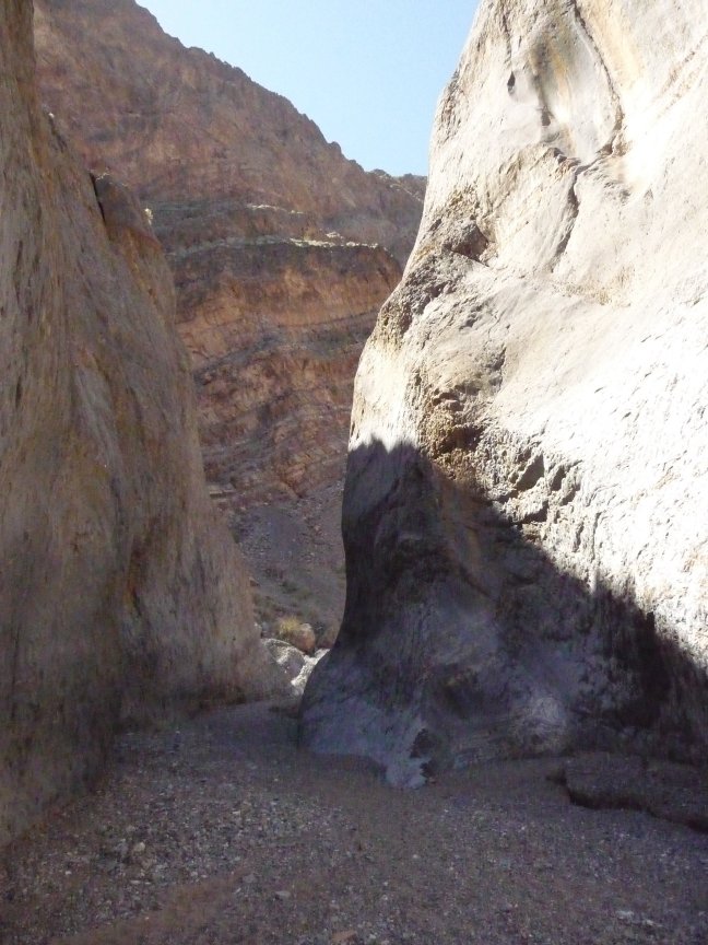
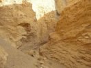
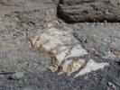
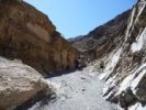
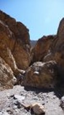
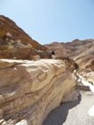
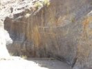
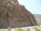
| At 2.3 miles is a narrows of gray and white stone, where some of the petroglyphs are supposed to be. |
Not a one of which could I see. Lots of graffiti, including this one, which I loved, but no petroglyphs. |
So I continued through the gray and white rocks, then back out into the canyon. |
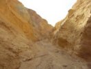
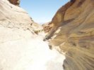
And it was pretty. Really pretty. And the next mile marker was another narrows at about 2.6 miles. |
 |
 |
 |
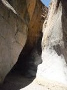 |
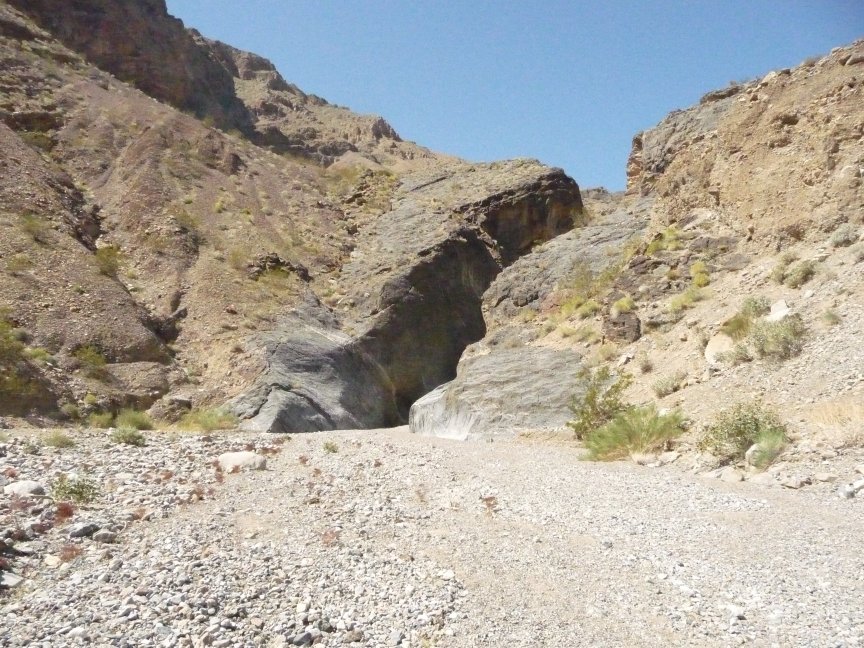
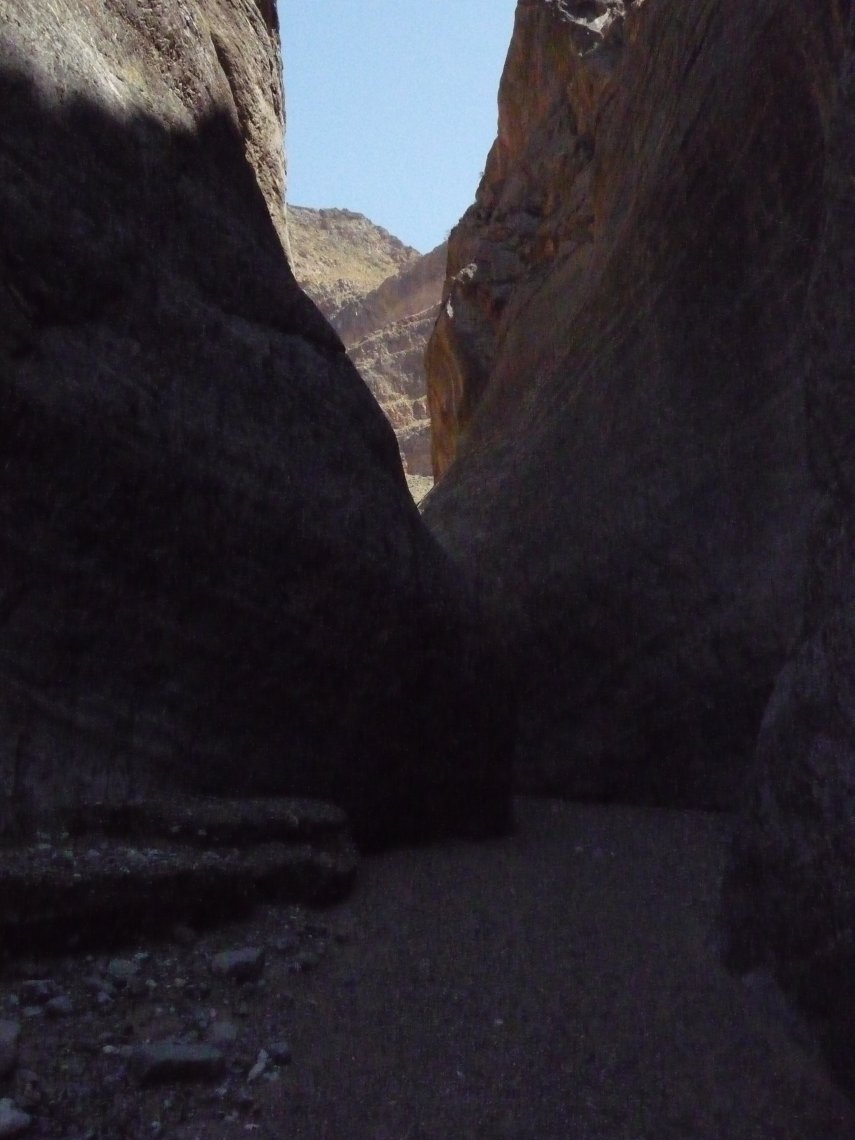
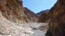
| And here it comes. |
And the rocks are pretty... |
and...what's this? |
WOW. |
|
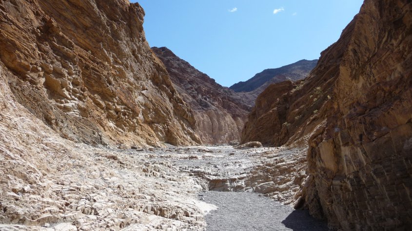
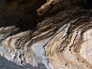
And I have to say, as much beautiful stuff as I have seen in Death Valley notwithstanding, my jaw dropped open. Because here I am in the middle of about a quarter mile of black basalt narrows, and they are REALLY NARROW, and the walls LOOM. There was one place
where the rock leaned over and I actually got a frisson of claustrophobia. The pictures just don't do it justice, it was AMAZING.
|
 |
 |
 |
 |
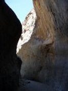
| Just amazing. |
Seeing this about 9:30 am would be perfect, dark and shadowy and mysterious. |
And it's back out in the world of bright sun and colorful rocks. |
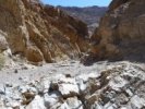
And you do see what I'm hiking on, right? a streambed. All this hiking I'm doing is on loose rock and gravel. And by now there is no more shade. And I'm getting tired. |
 |
 |
 |
 |
| Ah, and that's what I'm looking for:
a canyon coming in on the right, and on the left a tiny shadowy narrows. 2.9 miles. The shade is
where I'm going...but it doesn't last long. |
I really am a sucker for an interesting rock... |
and pretty colors. |
Oh boy, more hot dry loose-gravel wash with no shade...thank goodness there's a breeze. It's not too hot for me, but I'm getting REALLY tired. |
 |
 |
 |
 |
| Wait, what's that I see? another dark, shadowy narrows. Thank goodness! this is the 3.5 mile marker. |
More Prince's Plume... |
and more rocks. It's 11.45, so I'll hike til noon, or til I get to the rock that blocks the trail at 4 miles, and then turn around. |
Very nice rock! |
 |
 |
 |
 |
| And this is as far as I got. At
12:10, there was no sight of the rock that was supposed to be at 4 miles. I was hot, tired and hungry, so I ate lunch (a salami and spinach sandwich with mustard and an apple, and it was sure good!) and turned around. |
More wild heliotrope. |
And look at this pretty rock! Everything looks better, now that I've turned around. The trail wasn't steep, but it was steadily uphill. Downhill is so much nicer. |
I have no idea what settings on my new camera I used to get this, but wow. |
 |
 |
 |
 |
| And LOOK at this Desert Rocknettle blooming like CRAZY!
Wow! And more beautiful canyons and rocks. What a great hike. |
 |
 |
 |
 |
| More gorgeous rocks, some broad-flowered gilia, and more rocknettle blooming like there's no tomorrow.
|
 |
 |
 |
 |
| A big piece of rock... |
up close and personal... |
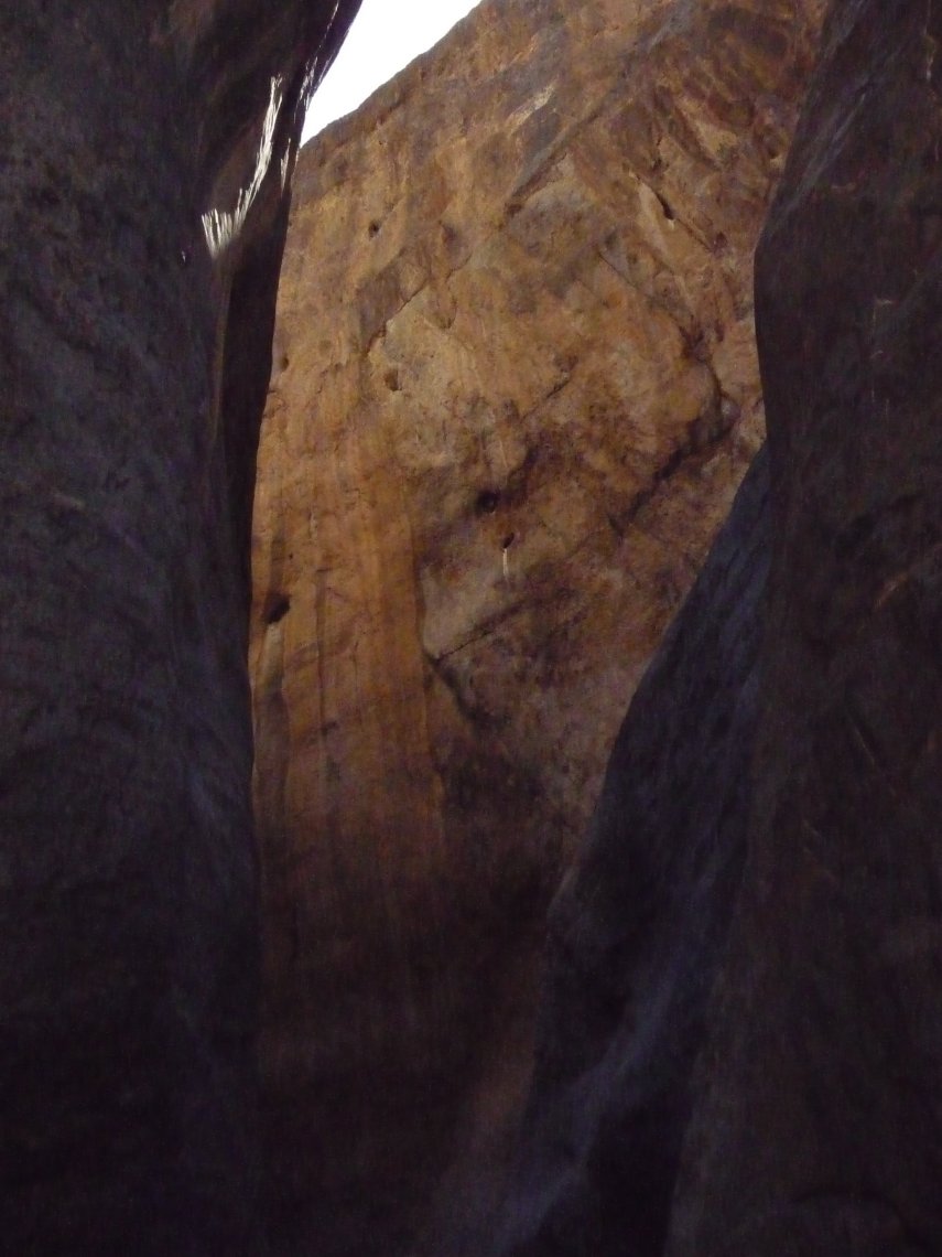
and I'm back at the black rock narrows! there it is... |
and it's coming closer... |
 |
 |
 |
 |
| This is really the most amazing place. I can't wait to go back. |
 |
 |
 |
 |
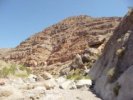
| Imagine that! Big colorful layered rock! who would have thought that would be here? |
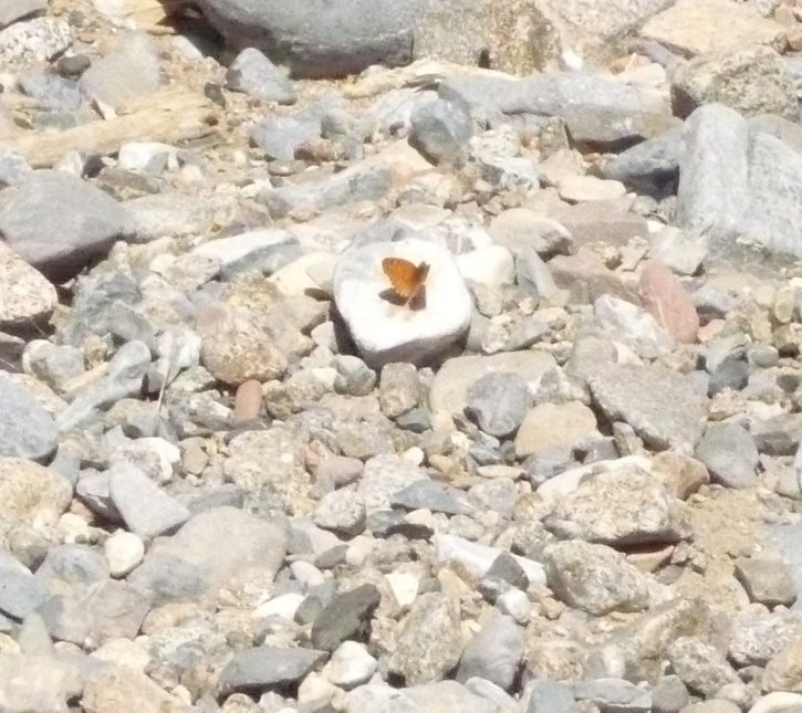
A Sagebrush Checkerspot butterfly. |
My best guess on this one is that it's a Mojave Fringe-toed lizard, it has the toes and the shape, even though it's not quite as
polka-dotty as the ones I find pictures of. |
And- just for a change- some beautiful colorful rocks. |
 |
 |
 |
 |
| Ooh! Ooh! A new flower, the Desert Dandelion. |
Okay, I just like colored rocks. Okay? |
Wait a minute, that's the six-foot-wide spot...which means... |
Yes! Natty Bumppo! I did it! I'm back! |
 |
 |
 |
 |
| So I'm driving back, and the road is even worse going back than forward...and I see something out of the corner of my eye. Can't be...but it is. |
IT'S A FRICKIN' SIGNPOST. |
This is where the Cottonwood and
Marble Canyon roads diverge, and there's an actual signpost up on the bank to let you know. Which I missed on the way in because I was keeping my eyes on the road. |
And speaking of the road...it's about to turn right, through that crack between the two big hills. |
 |
 |
 |
 |
| And I come out from behind the hills...and there's the motel, with ice cream and showers and places to sit. I can't wait. |
What? you can't see it? we'll try a close-up... |
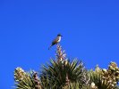
Meanwhile...on the drive to the Racetrack and back,
while I was hiking Marble Canyon...A bird on a Joshua tree |
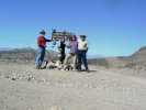
Self-portrait at Teakettle Junction (a Death Valley tradition™!) |
 |
 |
 |
 |
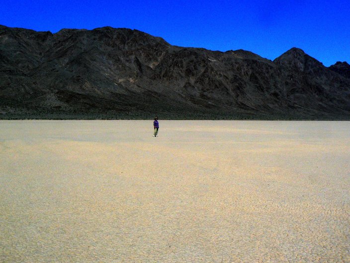
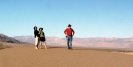
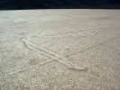
| One of the more interesting tracks on Racetrack Playa |
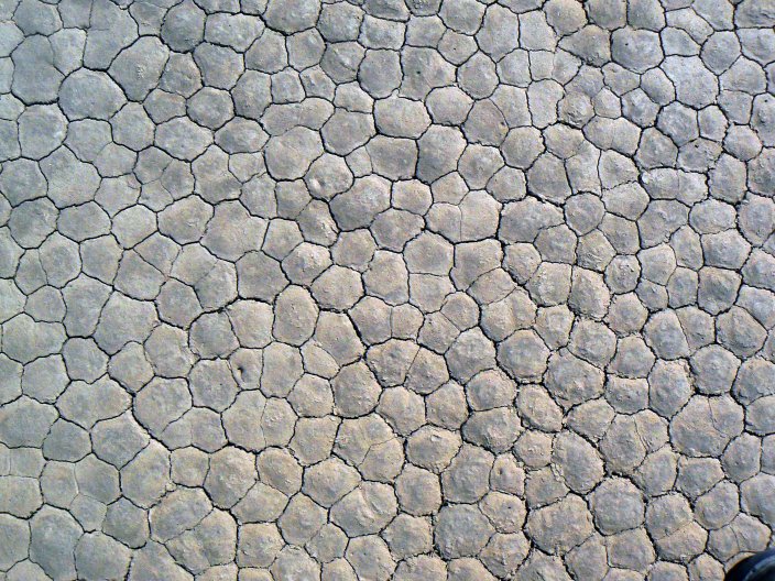
A very nice shot of the playa surface |
Signe on Racetrack Playa |
I got back at 3, expecting Bill and Signe and Doug to be either gone on some adventure or annoyed that I was late AGAIN. But no, we pulled in at the same time.
They had had adventures at the Racetrack, rescuing stupid people, and were full of great stories. And we went to
dinner at the really expensive restaurant at Furnace Creek. And the food and beer were REALLY REALLY GOOD. |
 |
Bill got a beautiful picture of the mooon on Sunday night... |
 |
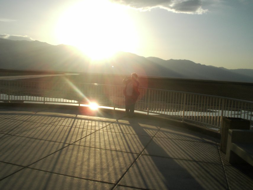
And it's Monday. And the
Sierra Nevada, and Olancha, are dead ahead. And we're on our way home form Death
Valley. |
| And that's it for the Death Valley trip. I turned 50 four days before we left, so I considered this to be my extended
birthday celebration, and a damn fine one it was. Lovely weather, congenial companions, days of absolutely the best time ever.
And how did we do on our goals?
- I hiked every day, and loved it. Sometimes a couple of short hikes, sometimes a long one. Very nice.
- I FINALLY got to Marble Canyon, and that was great. I felt totally Dadworthy, and it was a blast doing it all by myself, once I was over the jimjams from getting there.
- The weekend went well: our rooms were together and in a good place, they got the reservations right, the food sharing thing worked out fine (everyone brought GREAT stuff), and our patio out front was wonderful.
- Doug wrote a lot. He was EXTREMELY GOOD about staying at the motel to get the rewrites done, and although we missed him, I was really impressed with his strength of character.
So: mission accomplished. Cat herding successful. Fun was had, and the only bad thing about the weekend was (of course) that it had to end.
November of 2010, anyone?
Jo the Happy Hiker
|
ADDENDUM
|
|
Usually, when we get to the last photo show and the parting of the ways, that's it. But this time, both Diana and Bill gave me some great pictures of stuff that happened after we left (Bill and Signe stayed
for two more days) or on the way home (in Diana's case). So here they are, in all their glory (as our adopted Aunt Doss used to say):
|
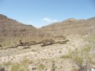
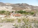
| Diana drove through a little ghost town named Ballarat on
her way home, this is there...VERY amusing. |
 |
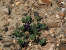
And what Diana thought might be a datura, but turns out to be Wolfberry, even more fun! |
 |
| Bill and Signe took these during their peregrinations; I identified what I could. |
 |
 |
 |
 |
| A nice alligator lizard |
Hm, this is hard to identify, I don't find it in my wildflower or lizard guides...I'll have to keep looking... |
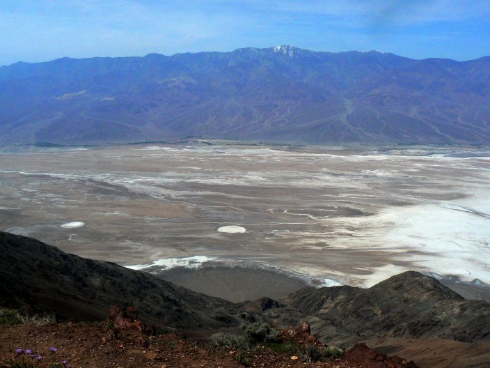
Looks like a beautiful pic of the Devil's Golf Course |
Dante's View |
 |
 |
 |
 |
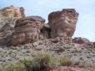
| Canyon with balancing rock |
Another lovely lizard |
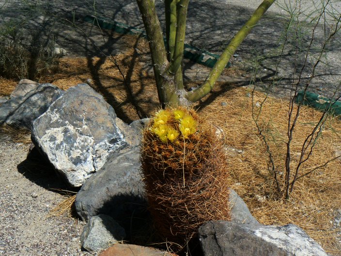
A barrel cactus |
A cholla, I think silver/golden (same plant, two names) |
 |
 |
 |
 |
| Possibly a hedghog cactus |
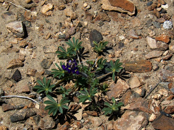
Bajada Lupine |
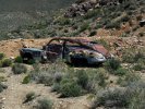
Very cool abandoned car. |
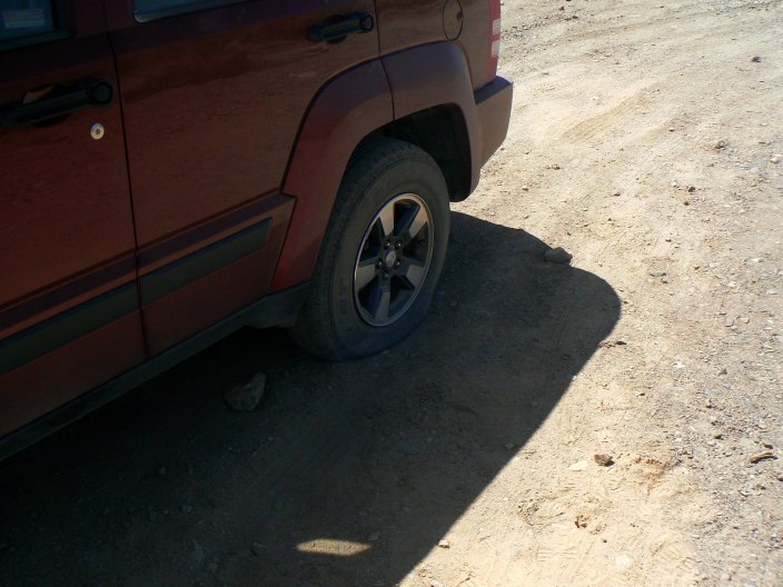
Ah, the blown tire. To understand the irony of this, you must
read the tire story from when Marti and I visited the Racetrack in 2006- I have told that story
OVER AND OVER AND OVER. Bill's story: the rock jumped out at him. |
| |